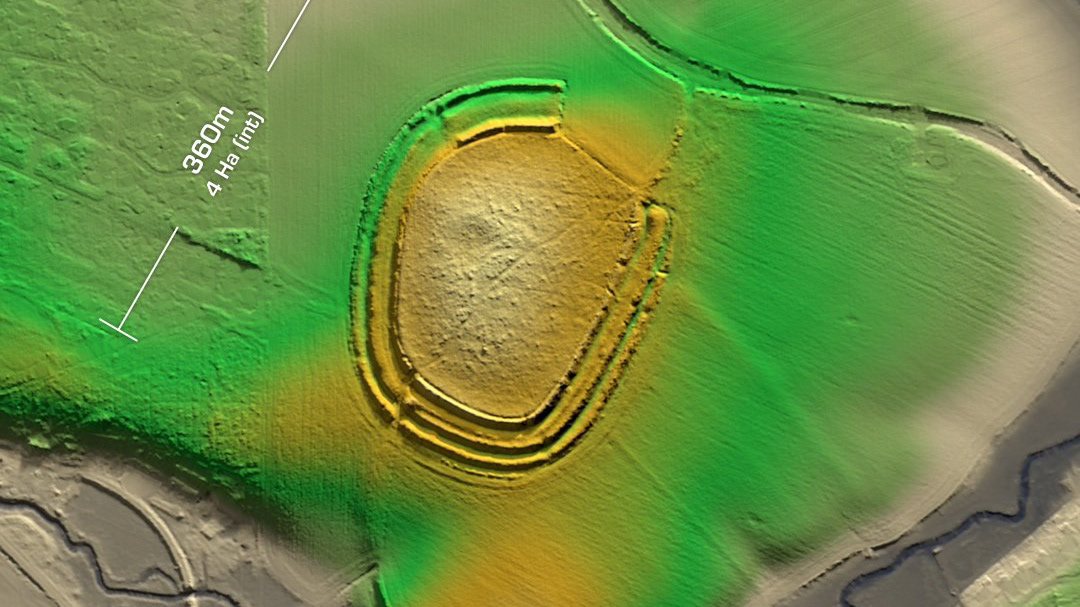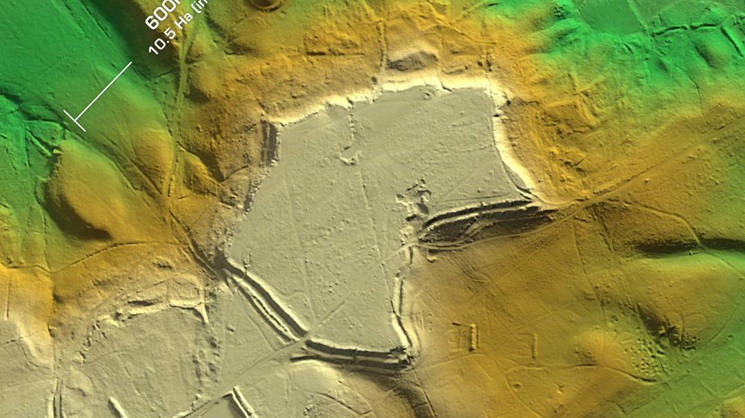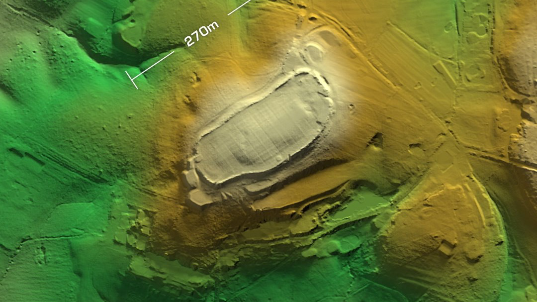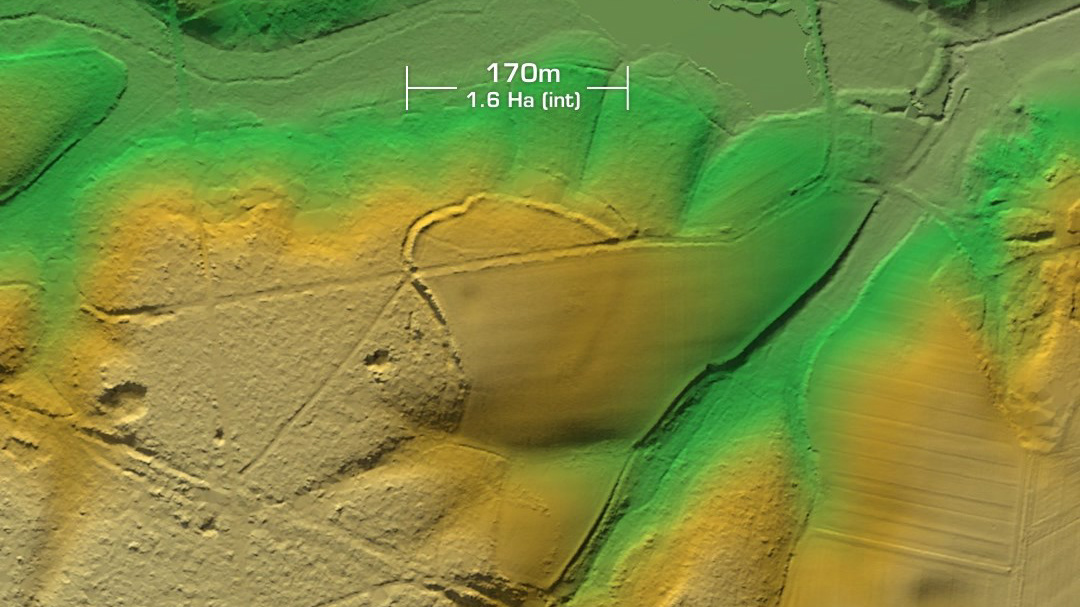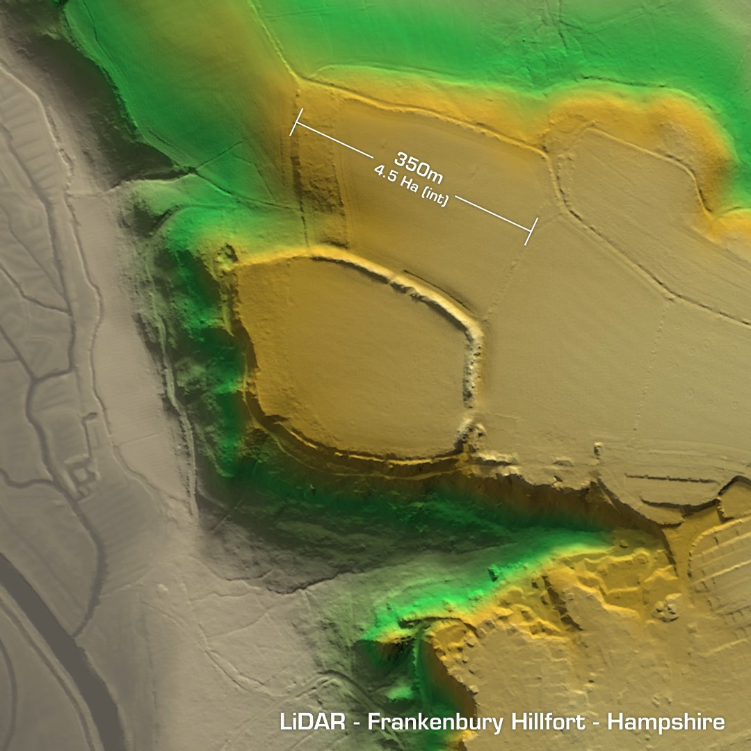
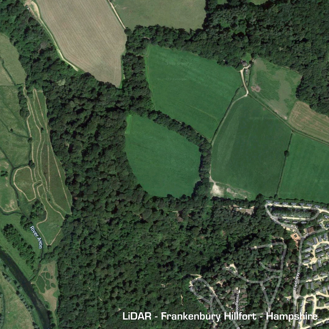
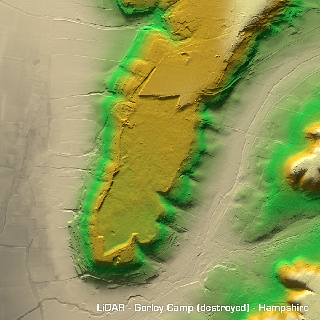
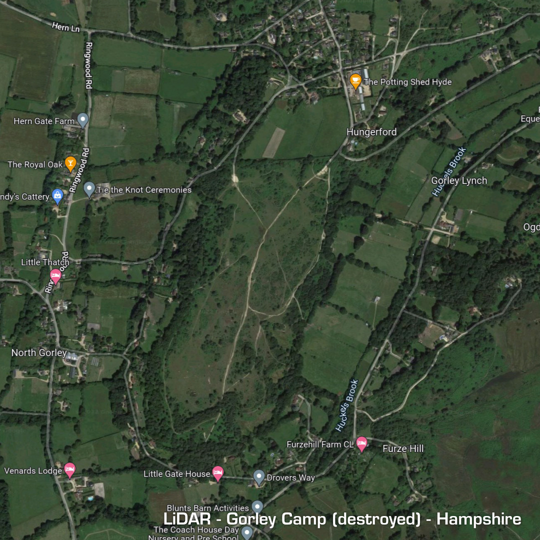
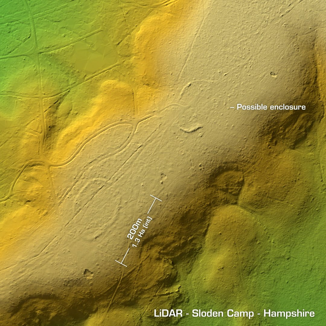
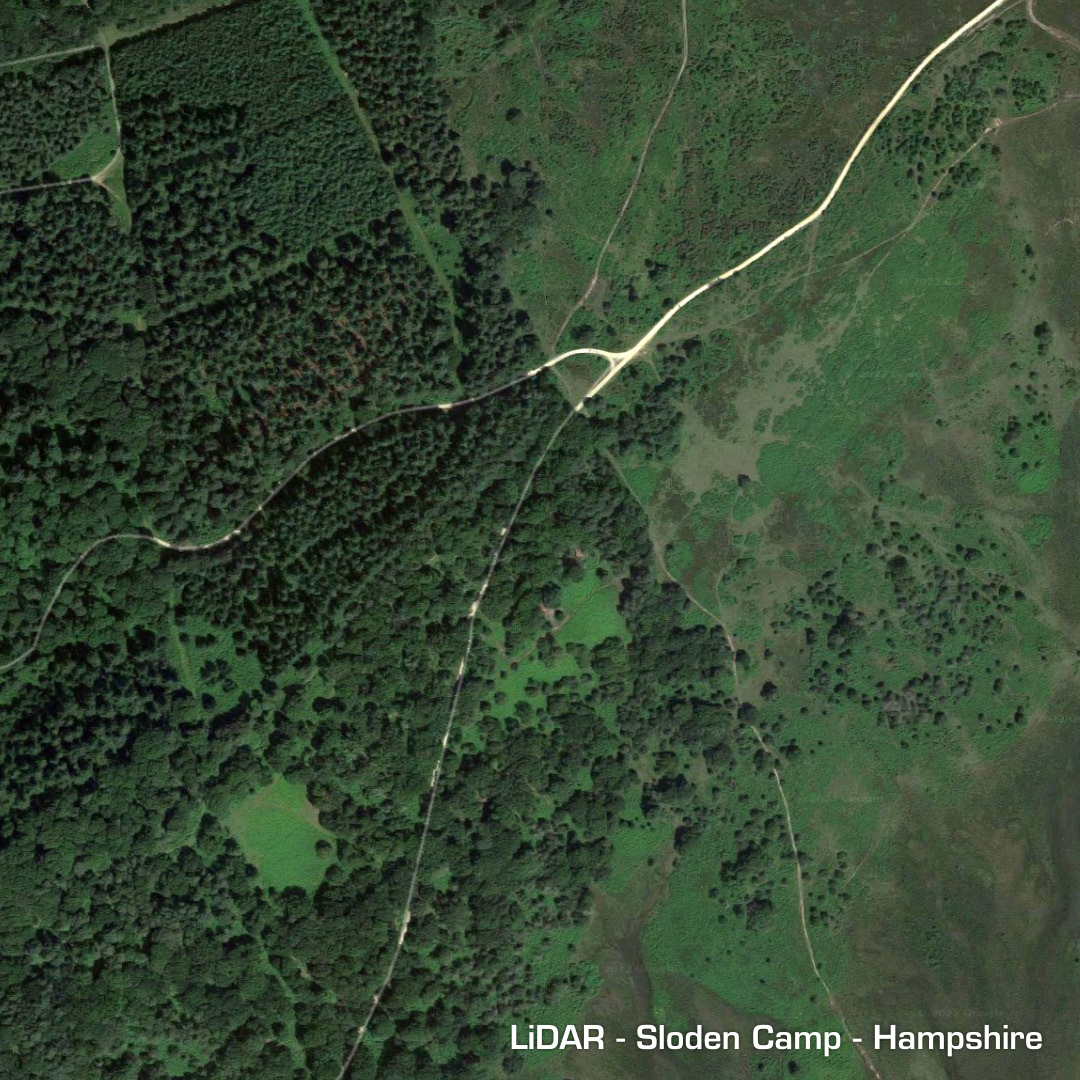
DTM- (Digital Terrain Model, i.e. No buildings or foliage) To the east of Fordingbridge and above the Sandy Balls Holiday village (because that’s what you get) is the univallate partial contour hillfort, Frankenbury. Its last field investigation was 1982. First LiDAR 2015. Unexcavated, hence undated. Sloden (green enclosure) lies withing scrub & woodland to the east of Frankenbury. This oval (possible) hillfort has been degraded heavily but a small excavation in 1993 proved it’s Iron Age provenance and two Roman kilns were discovered along with Roman Grey Ware pottery. It also may have been used in the 18th century as an enclosure. Gorley Hill lies below Frankenbury but has been totally quarried-out (in the 1960s) so I didn’t make my normal animation, but it is/was a verified hillfort due to finds in an excavation in 1916 and had Romano British use. Iron Age tribal association (conjecture based on location): Belgae or Durotriges (Scheduled monuments)