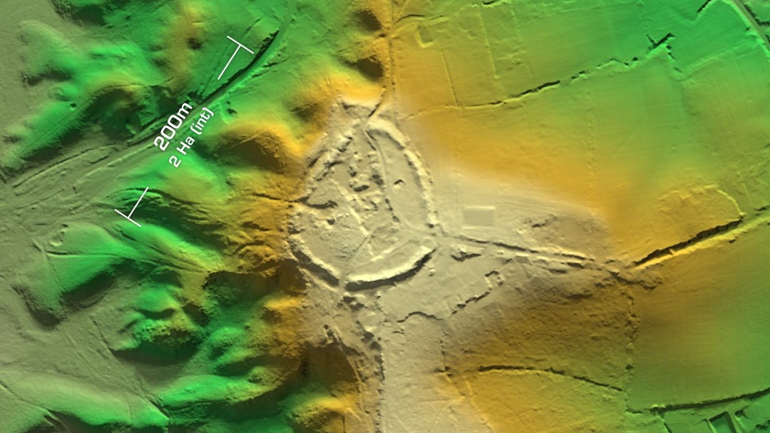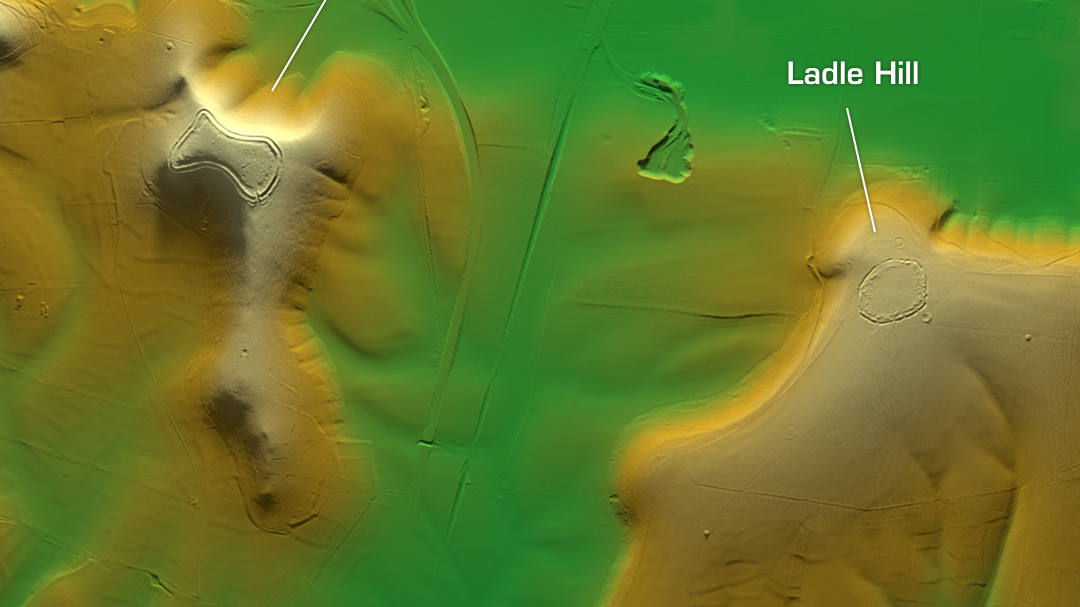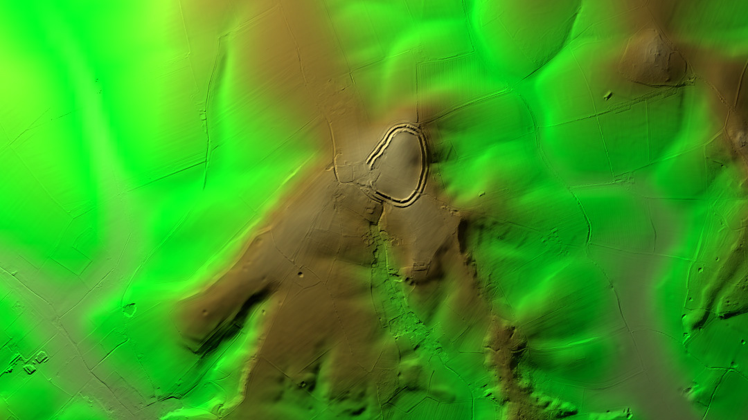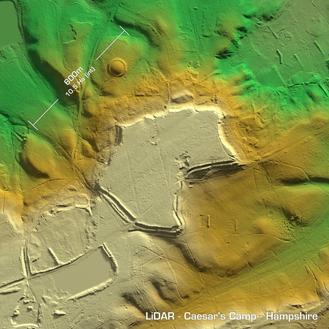
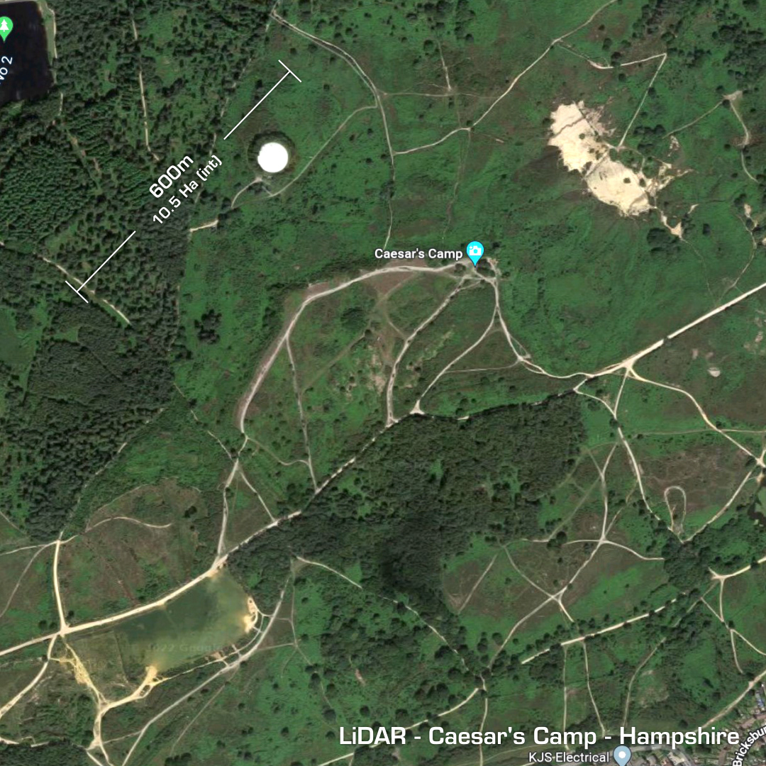
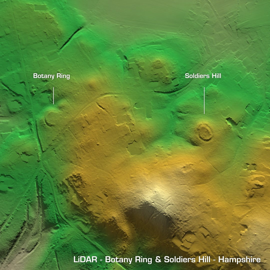
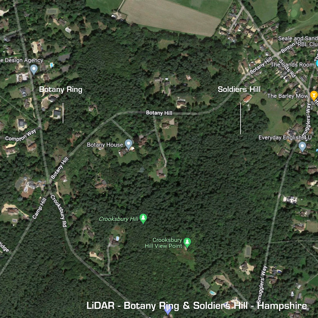
DTM- (Digital Terrain Model, i.e. No buildings or foliage) Lying directly west of Aldershot in scrubland & woods lies the large irregular multivallate hillfort Caeser’s Camp. After the Roman invasion it fell out of use until the medieval period where it became part of the parks attached to Farnham Castle. Quarry damage to the east-side. Minor excavation in 1970 and again in 1983 where a middle Bronze Age rapier (now in the British Museum and Roman artefacts were recovered. The white circular feature above the camp is a covered reservoir apparently. I’ve included Botany Hill & Soldiers ring here as they are both very small and lie in the same LiDAR tile as Caeser’s Camp but are situated to the southeast of Aldershot in an area called The Sands. Botany Hill is a univallate small (40m) fort. Small excavations suggest possible medieval construction, but it’s still listed as a hillfort. Soldiers Ring is also a univallate, small (48m) hillfort. Minor excavations in 1881 found a bronze age hoard of palstaves (bronze age axe) and socketed axes. Iron Age tribal association (conjecture based on location): Atrebates. (Scheduled monuments)