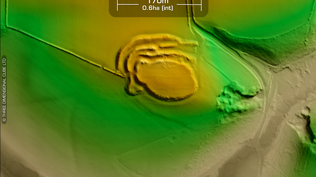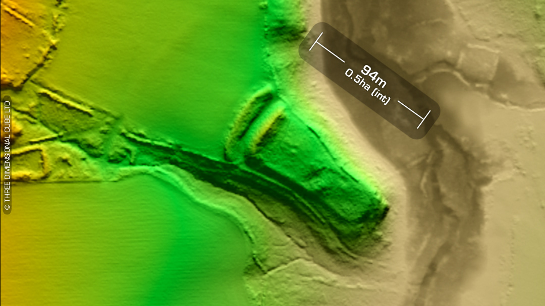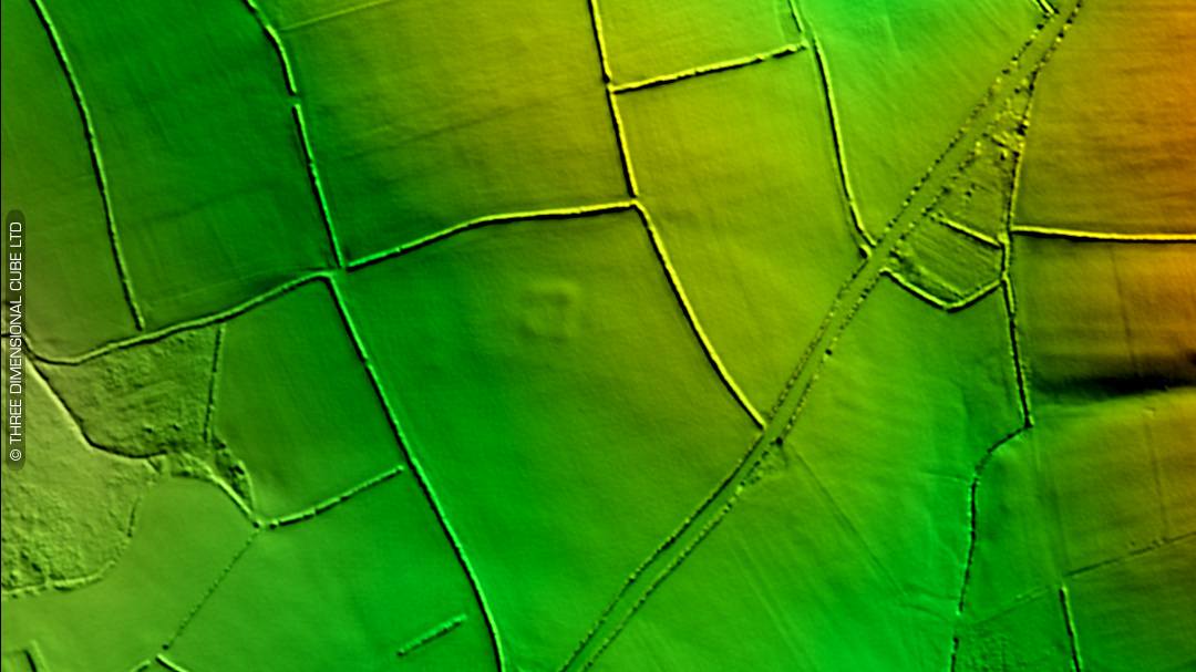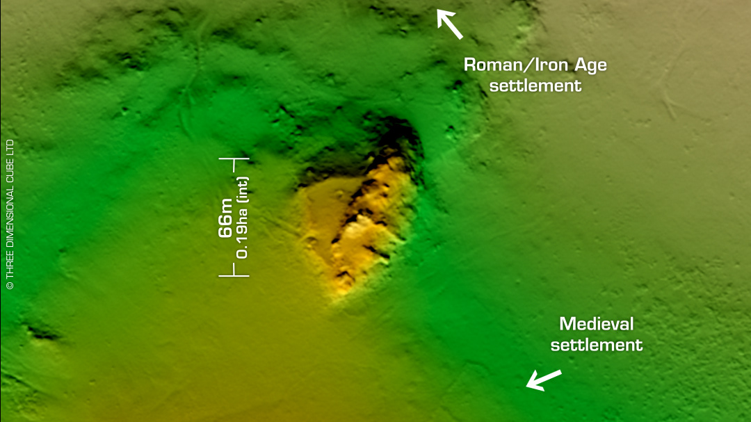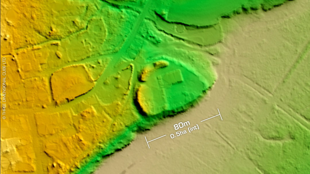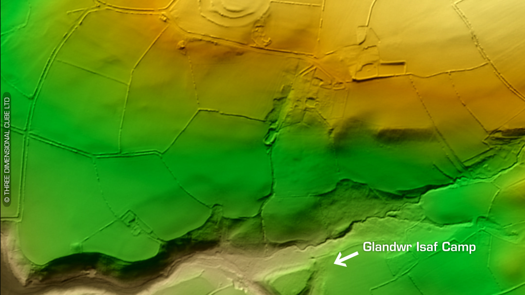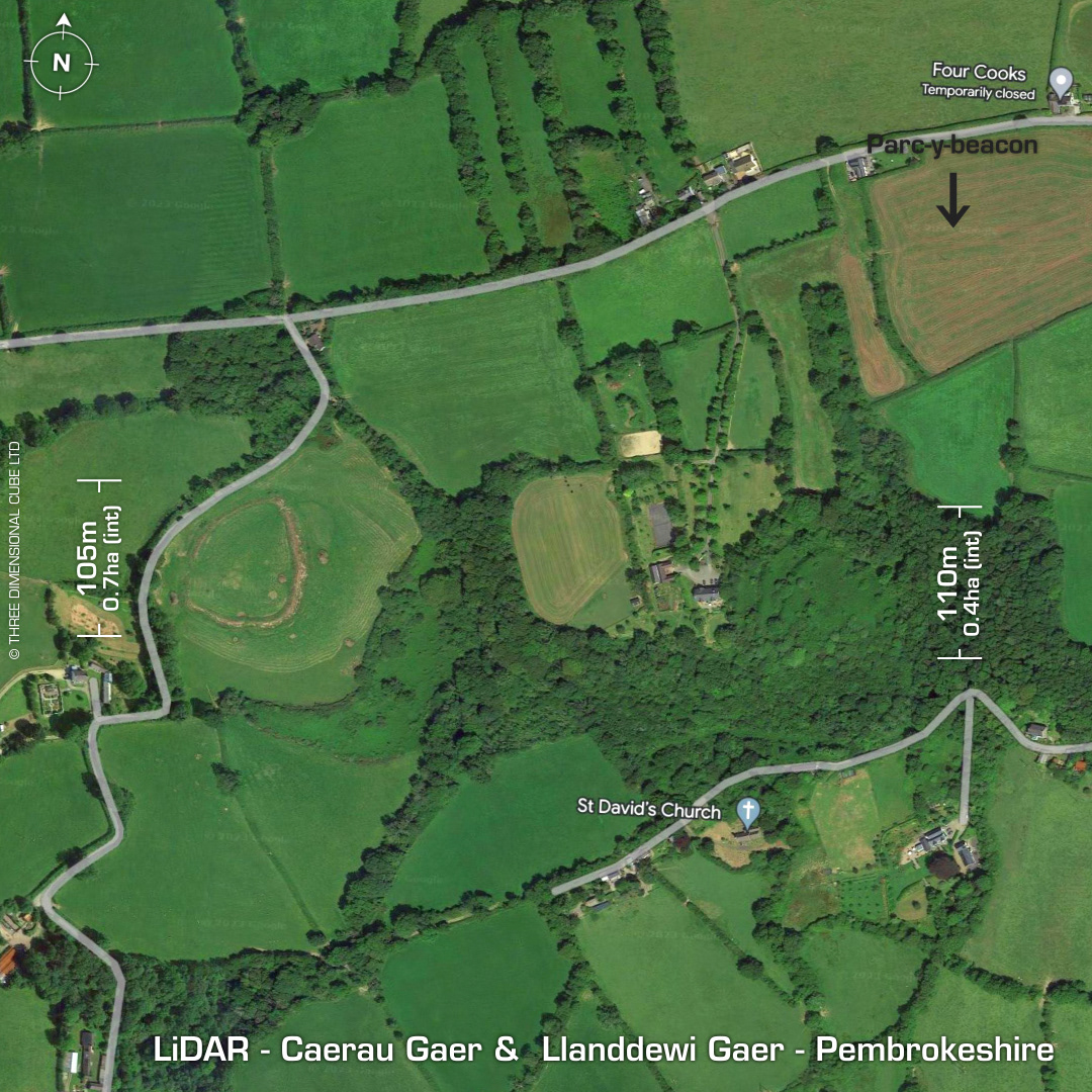

DTM- (Digital Terrain Model, i.e. No buildings or foliage) Overlooking the A40 and the village of Llanddewi Velfrey from the south lie the univallate partial contour hillfort, Caerau Gaer and just to its east the multivallate inland promontory fort, Llanddewi Gaer. Just to its northeast corner is the univallate defended enclosure, Parc-y-beacon which has almost been ploughed-out. Wales HER asks the question: "Can these camps be the Arberth mentioned in the Mabinogion? It would well suit the description. Fenton, 478.". Caerau Gaer: With bivallate annex & outwork to the east. Last survey in 2007. Llanddewi Gaer (or Pen-y-Gaer): Possible multi-phased construction. Terraced track into fort runs up the slope on the south side. Totally overgrown but the LiDAR enables us to see what we can’t from the air. Last survey in 2007. No recorded excavations or finds, hence undated. (Scheduled monuments) Iron Age tribal association (conjecture based on location): Demetae Contains public sector information licensed under the Open Government Licence v3.0.