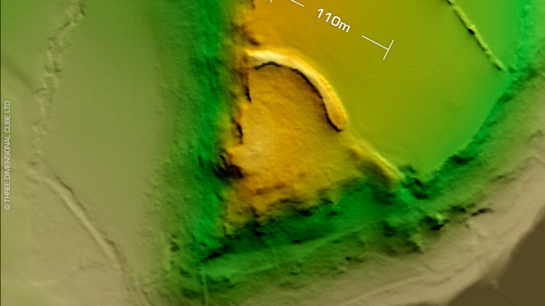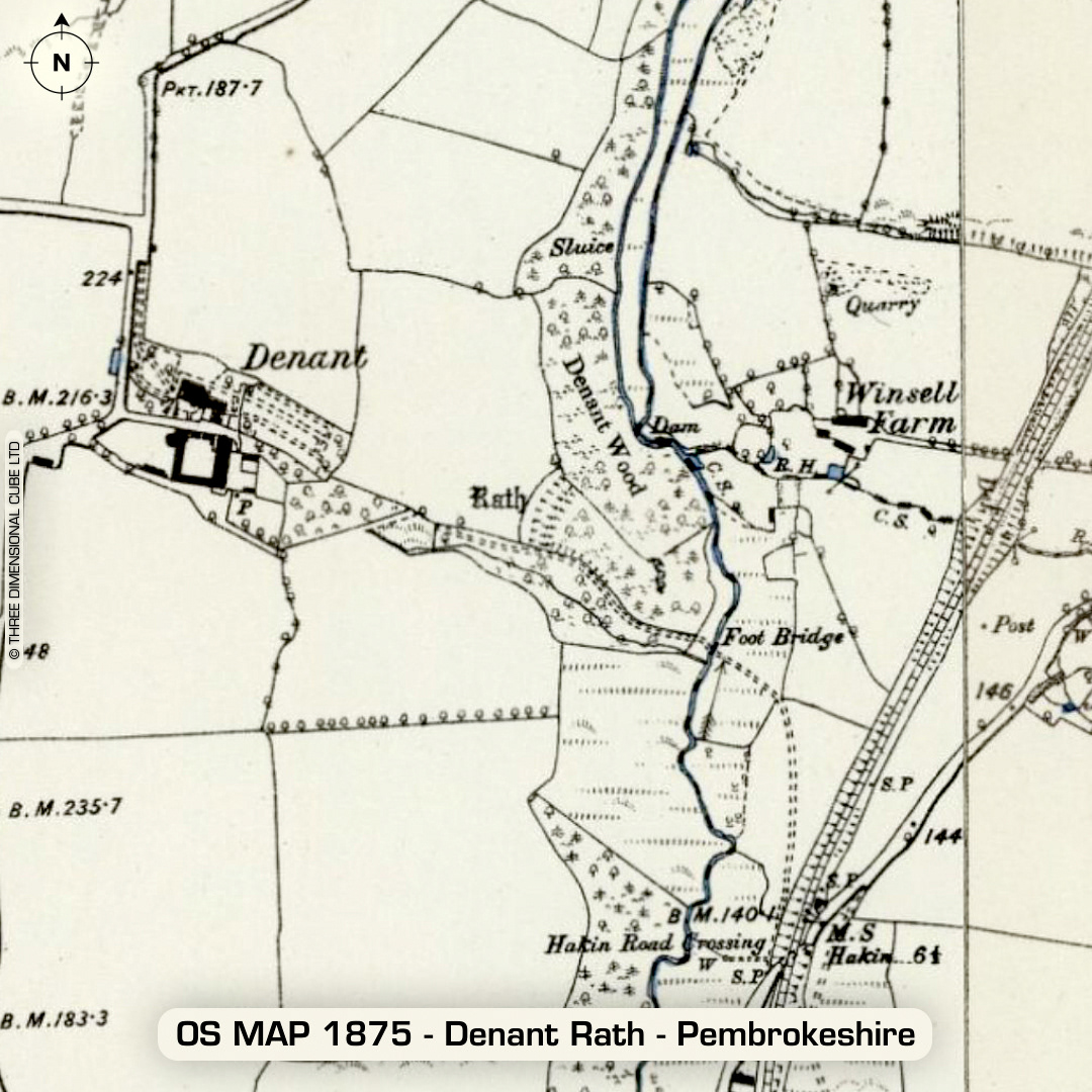
DTM- (Digital Terrain Model, i.e. No buildings or foliage) 2Km SW of Haverfordwest & just west of the railway line lies the heavily wooded inland promontory fort, Denant Rath. The LiDAR shows the main impressive rampart which bisects the promontory but also picks out an unrecorded (possible) secondary rampart in the field to the west. Last site visit in 2007. No recorded finds or excavations, hence undated. (Scheduled monuments) Iron Age tribal association (conjecture based on location): Demetae Descriptions from hillforts.arch.ox.ac.uk & Dyfed Archaeological Trust HER. Contains public sector information licensed under the Open Government Licence v3.0.