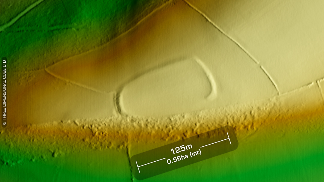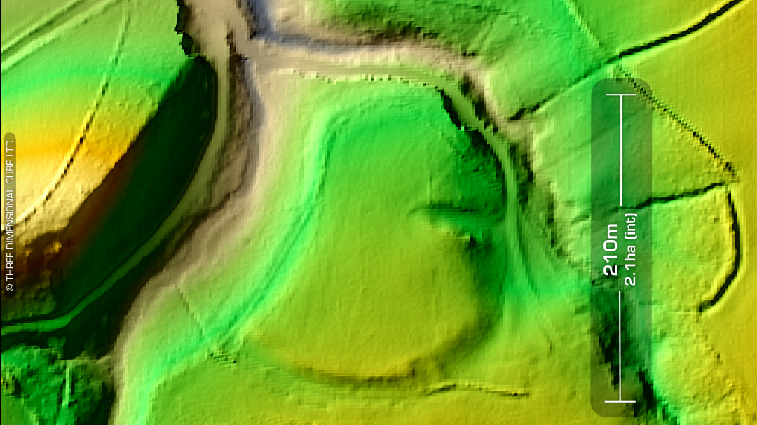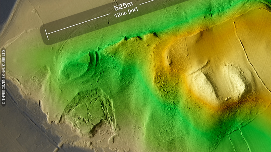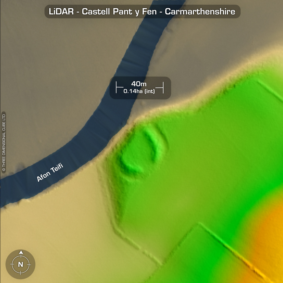


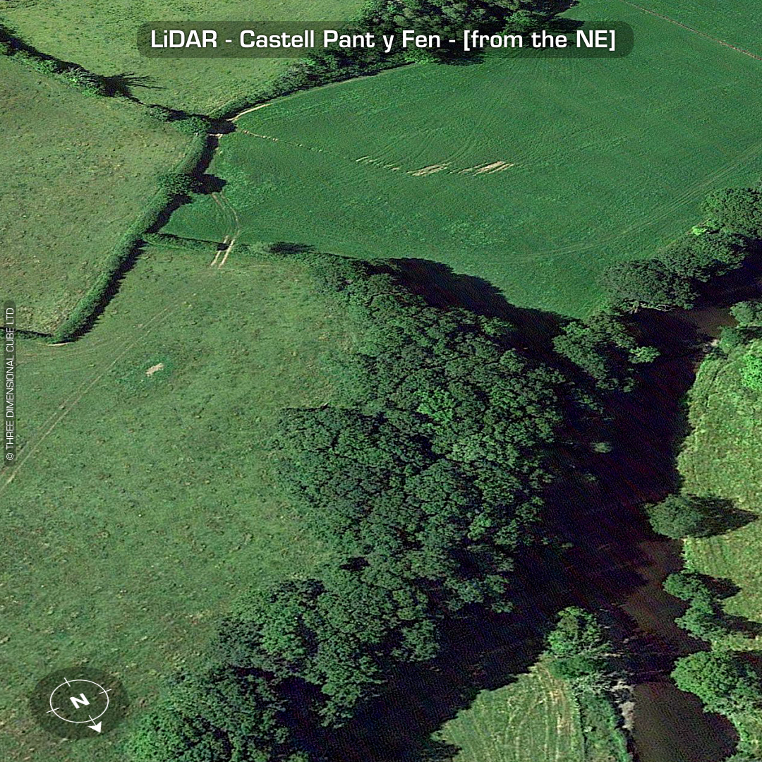
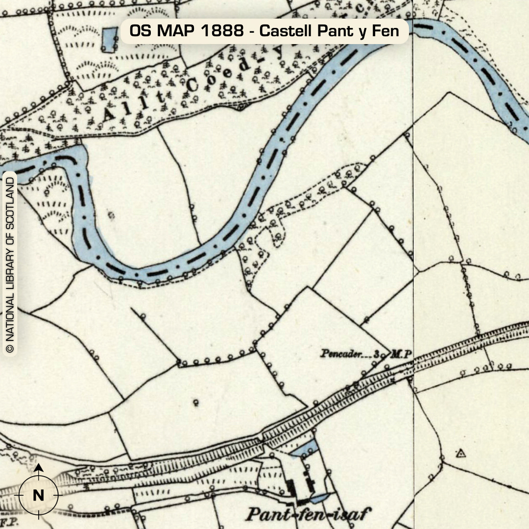
LiDAR – Castell Pant y Fen - Carmarthenshire DTM- (Digital Terrain Model, i.e. No buildings or foliage) If you close one eye & squint a little you could get away with the Castell moniker but that’s about it. By the (River) Afon Teifi sits the small (est I’ve ever rendered) univallate defended enclosure Castell Pant y Fen. This river runs just above the village of Llanfihangel-ar-arth, which also by happy coincidence is the village pubs WiFi password. The bank is still circa 3m high with a 1m ditch. 10m wide entrance on SE side. Site completely wooded over and surrounded by a fence by the landowner. No recorded excavations or finds, hence undated. (Scheduled monument) Iron Age tribal association (conjecture based on location): Demetae Descriptions from Dyfed Archaeological Trust HER. Contains public sector information licensed under the Open Government Licence v3.0.