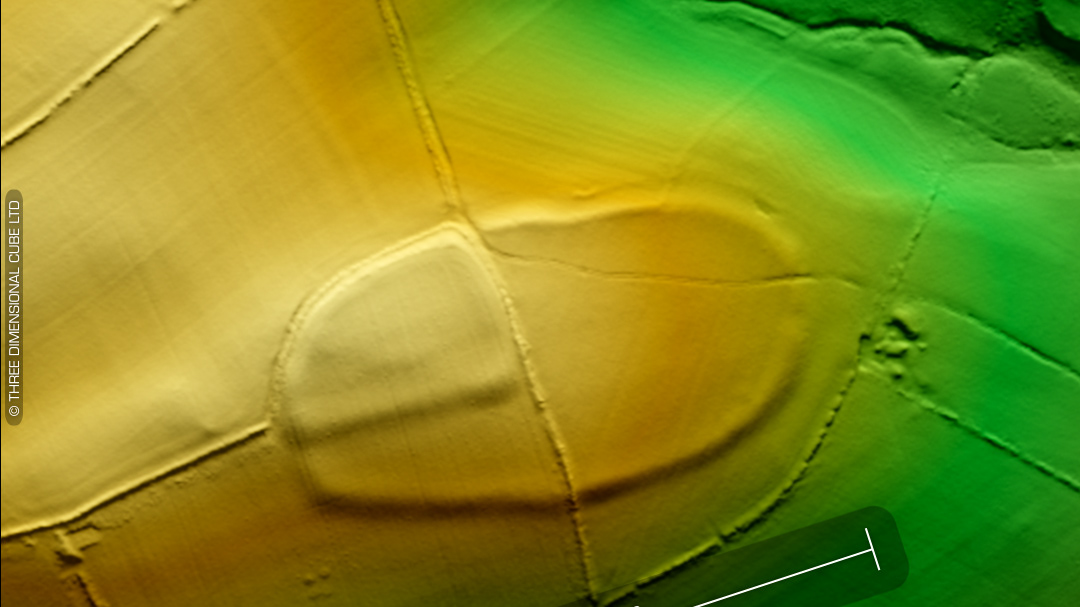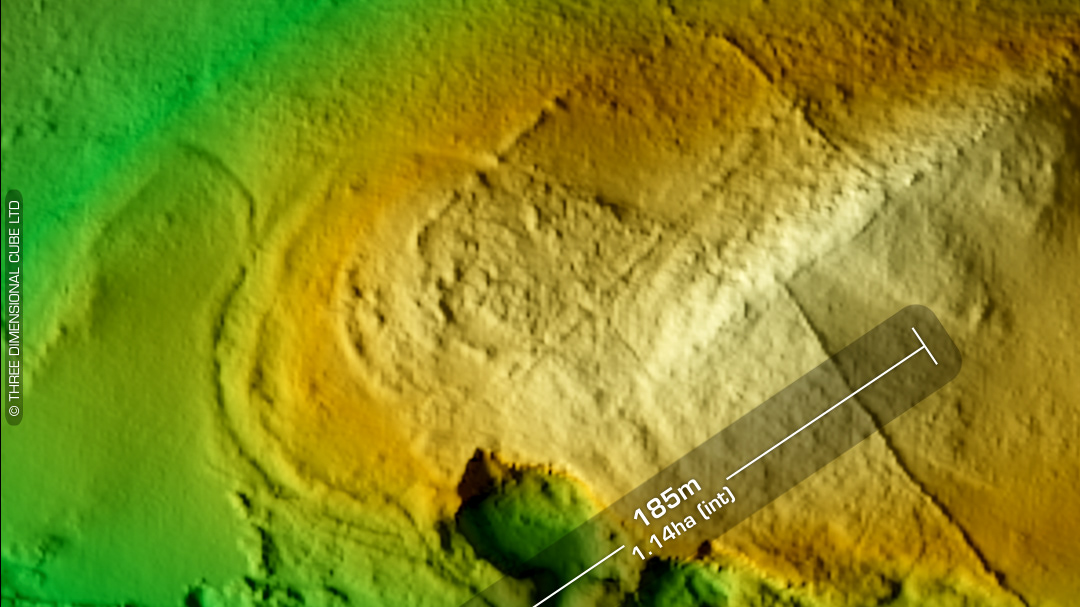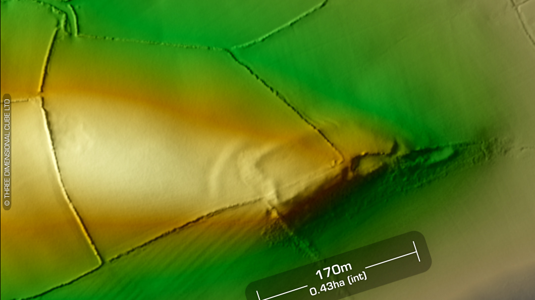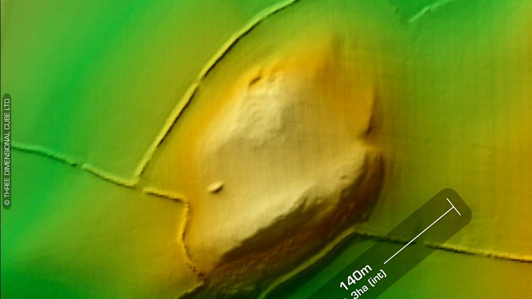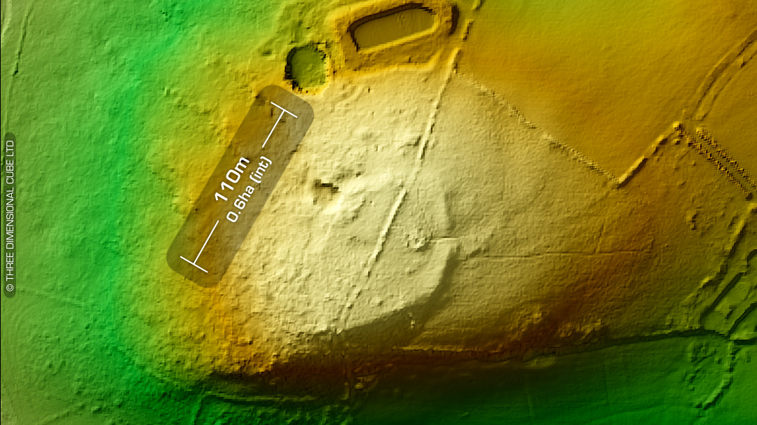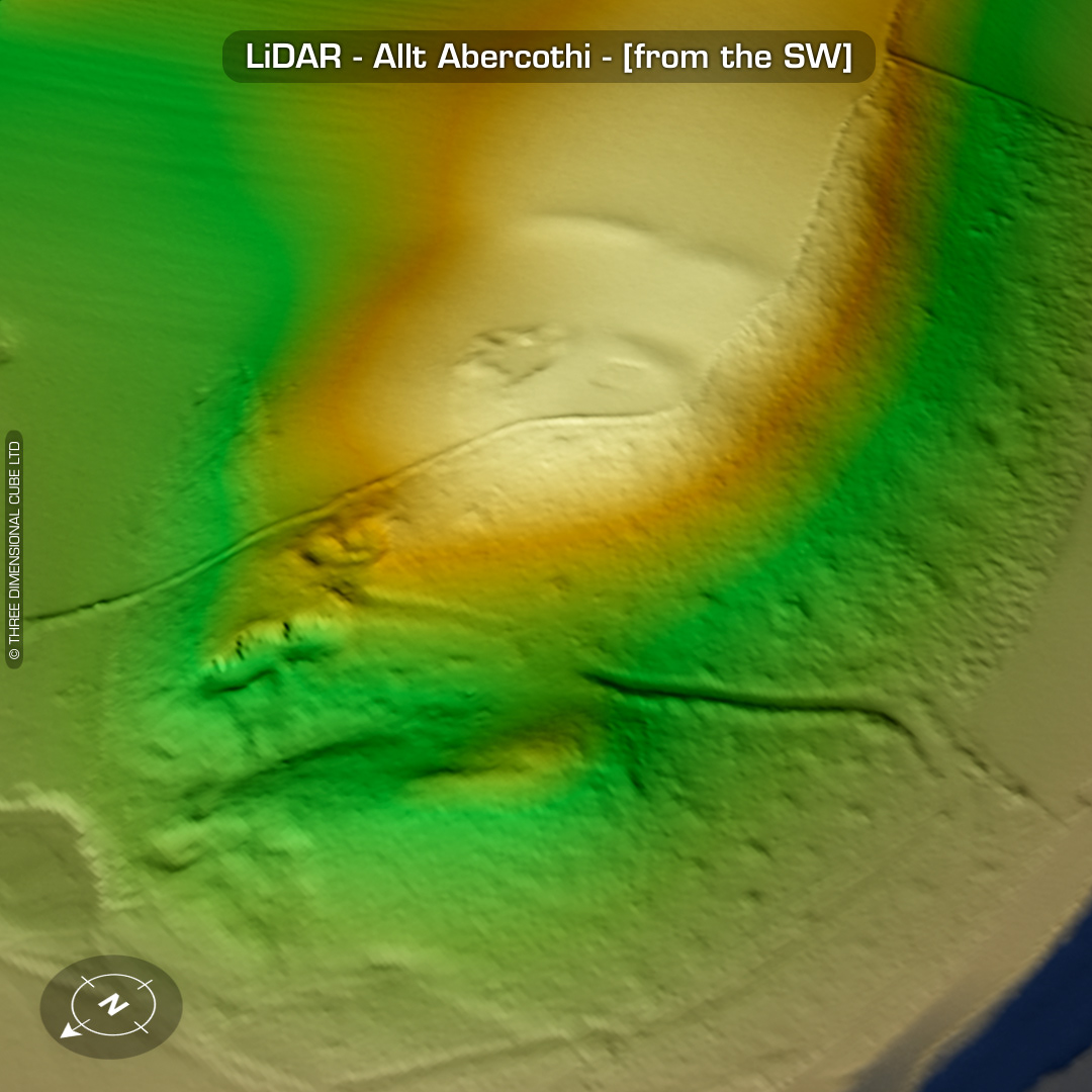

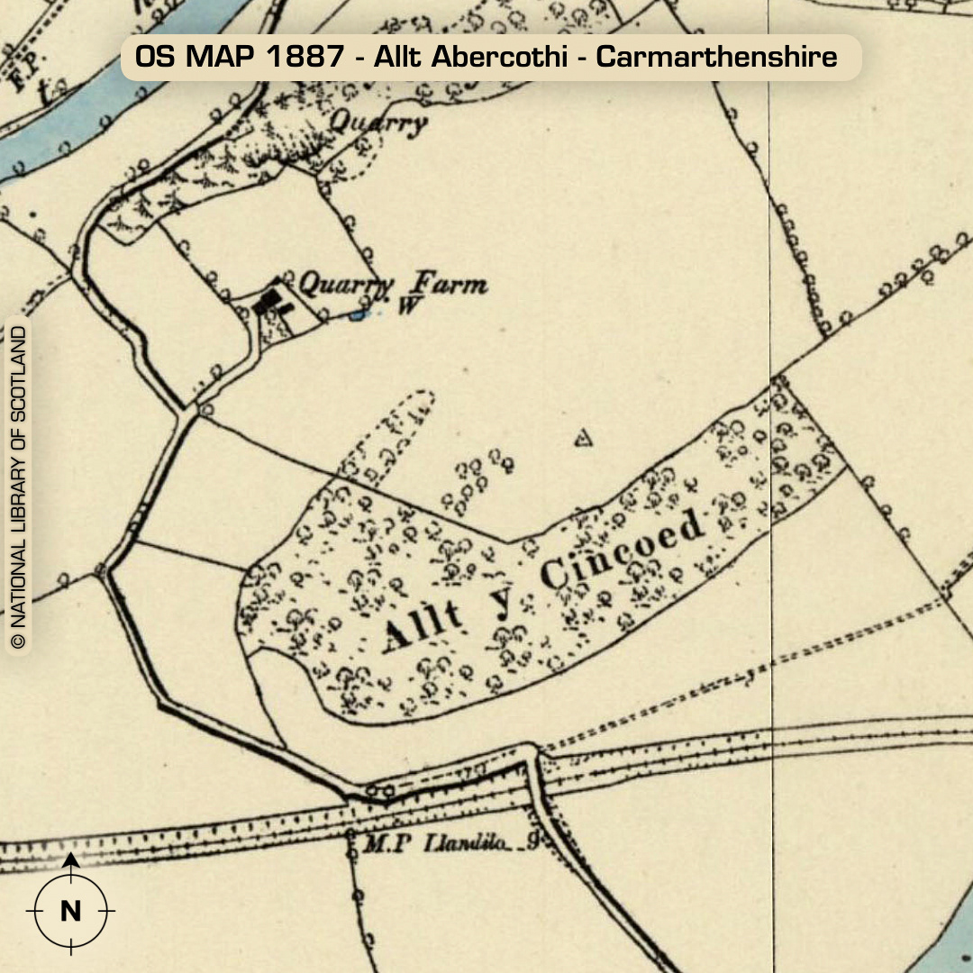
LiDAR – Allt Abercothi - Carmarthenshire DTM- (Digital Terrain Model, i.e. No buildings or foliage) Just south of the A40 & overlooking the village of Nantgaredig from the southeast lies the heavily degraded promontory fort, Allt Abercothi. The site’s first visit was in 2008. The field surrounding it is called Cae’r Capel and was once the site of the early medieval Pontargothi Chapel. Main site damaged by 4G mast (as it’s the highest point around) and an ancient quarry. The site visit may have been in conjunction with the first mast erected there. No recorded excavations or finds, hence undated*. (Scheduled monument) Iron Age tribal association (conjecture based on location): Demetae *Possible age range 2000-2700BP (Before present) Descriptions from hillforts.arch.ox.ac.uk & Dyfed Archaeological Trust HER. 1st ED OS Mapping via National Library of Scotland. Contains public sector information licensed under the Open Government Licence v3.0.