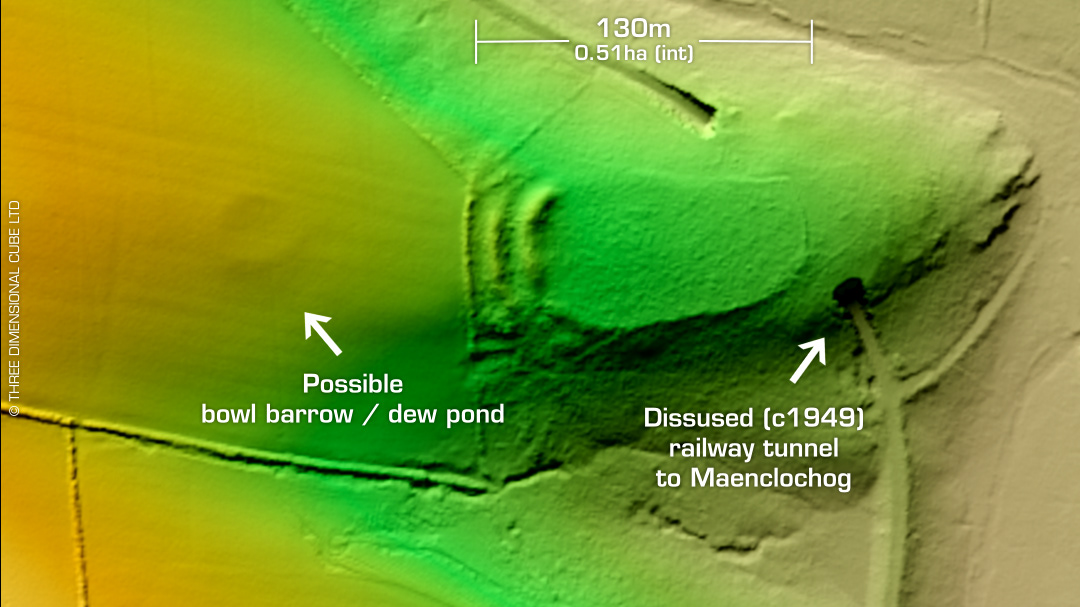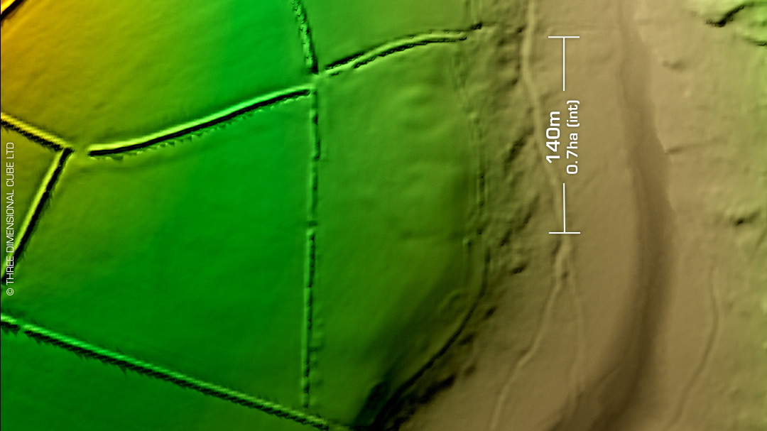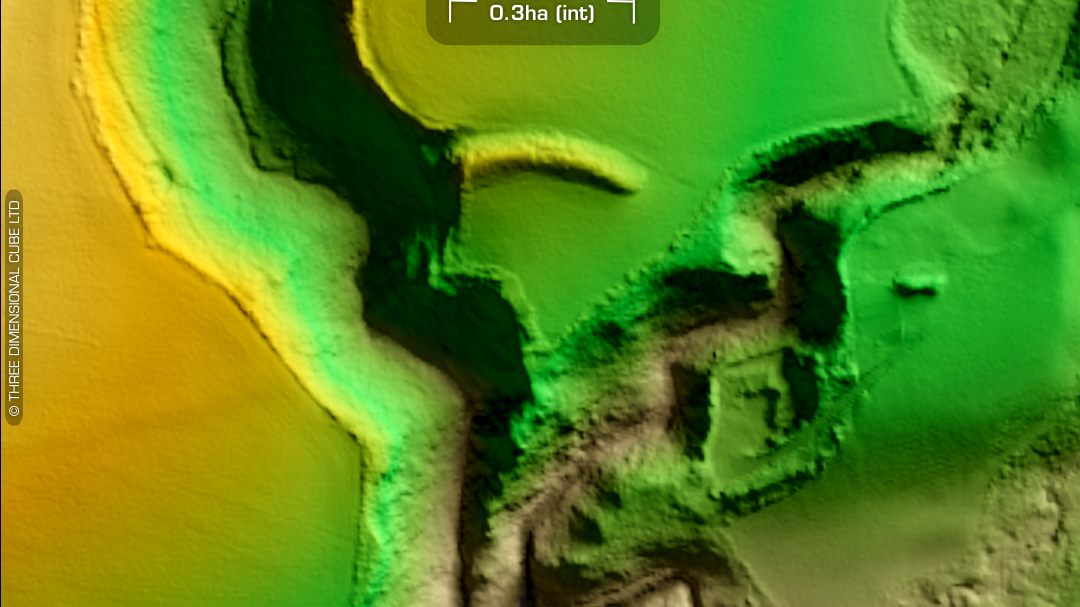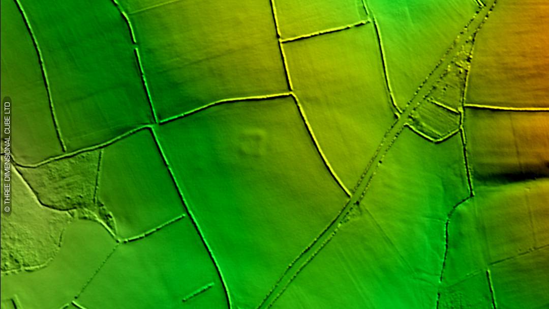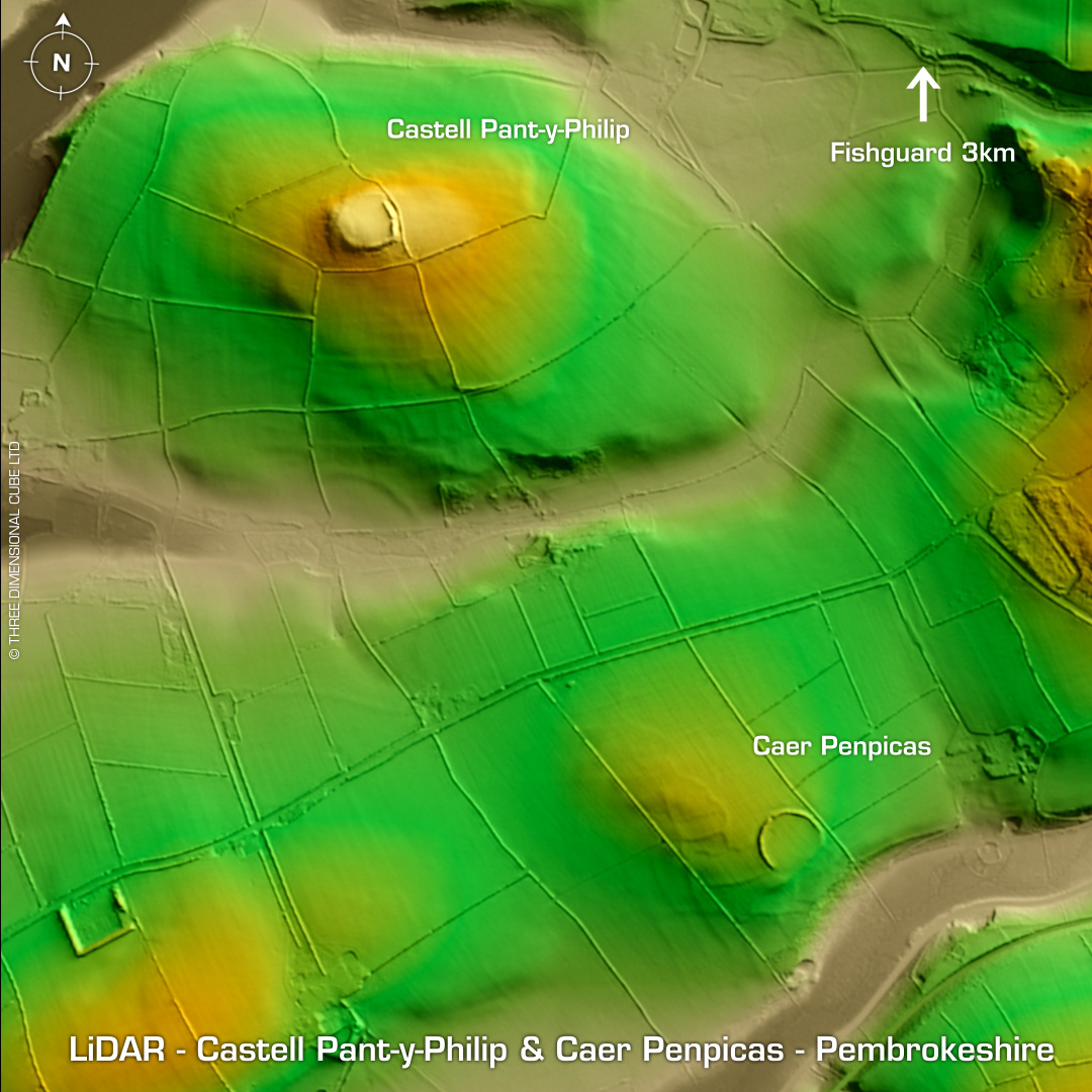
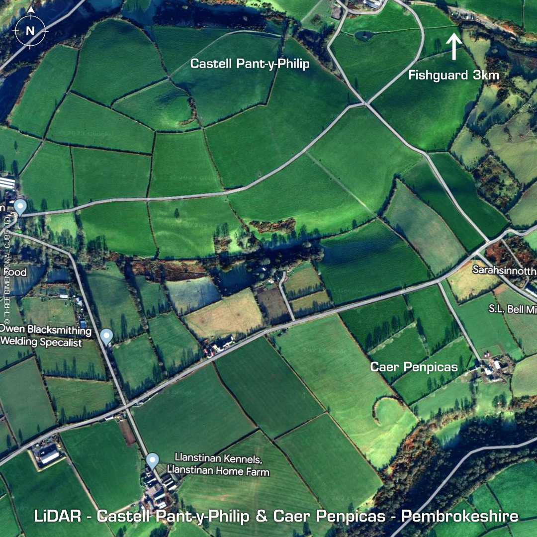
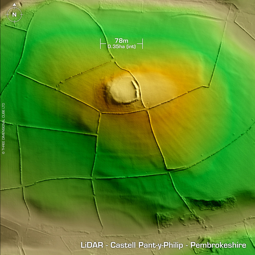
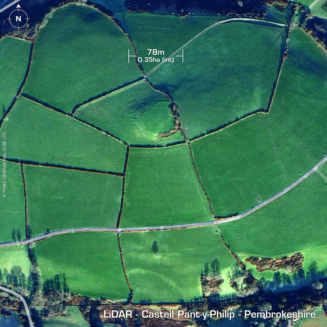
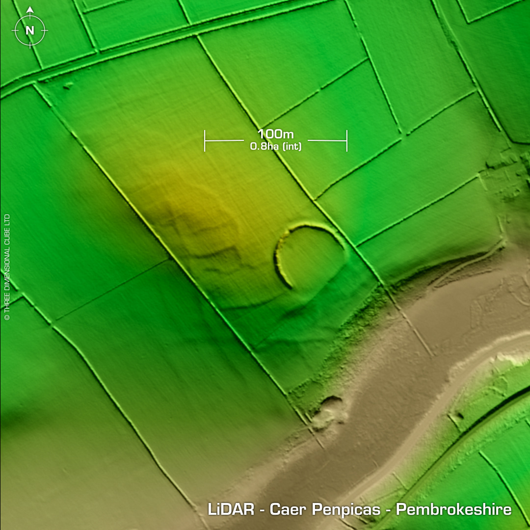

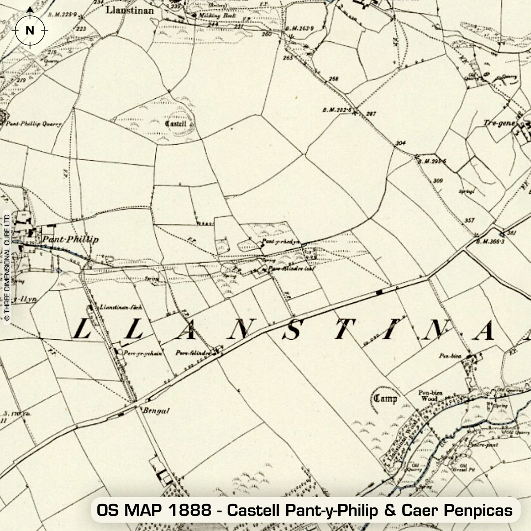
DTM- (Digital Terrain Model, i.e. No buildings or foliage) 3km south of Fishguard and east of the A40 lie the small contour hillfort, Castell Pant-y-Phillip and just southeast of that is the univallate 'defended enclosure', Caer Penpicas. As you can see on the LiDAR, both have extensive ancient outworks/field systems with Pant-y-Phillip's lying directly south of the site and Caer Penpicas's lying to its west & northwest. Castell Pant-y-Phillip is named after a small settlement (pant - 'hollow' in Welsh) which no longer exists as its now part of a farmstead bisected north/south by the A40 but it is still on the 1888 OS Map as you can see. Original name: Llanstinan Castell (according to Dyfed HER). Caer Penpicas is heavily degraded by ploughing. No recorded excavations or finds, hence undated. (Scheduled monuments) Iron Age tribal association (conjecture based on location): Demetae Descriptions from hillforts.arch.ox.ac.uk & Dyfed Archaeological Trust HER. Contains public sector information licensed under the Open Government Licence v3.0.