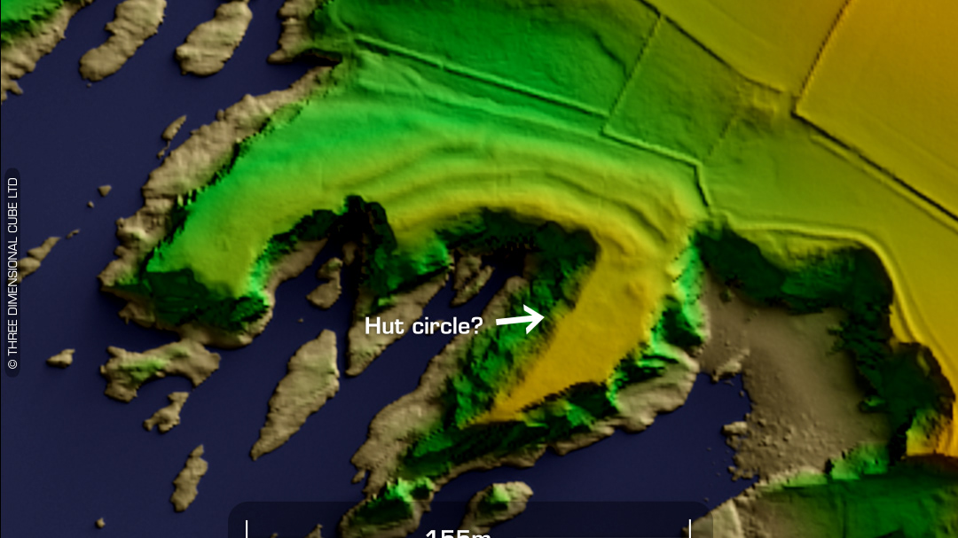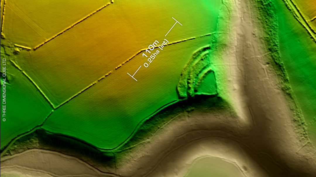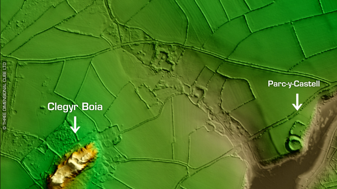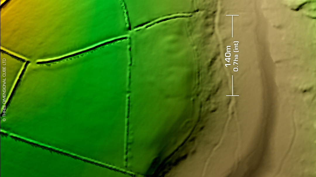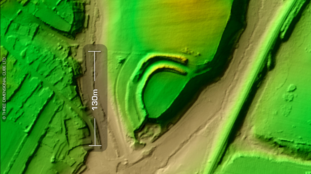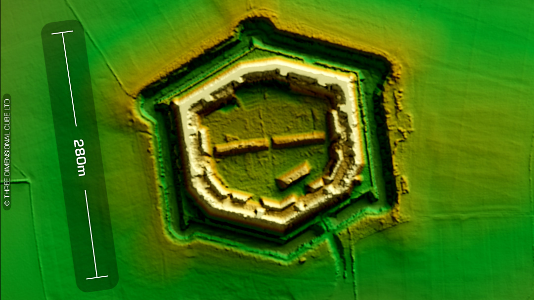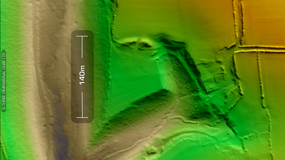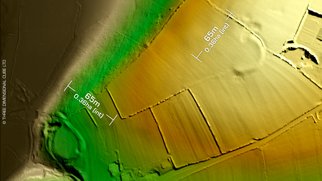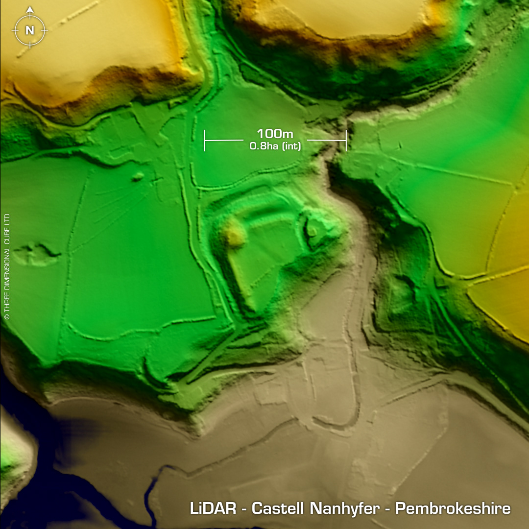
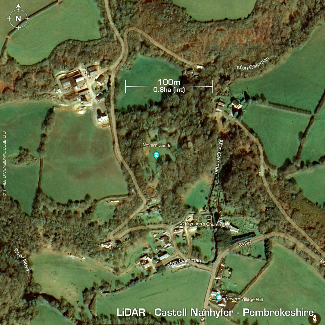
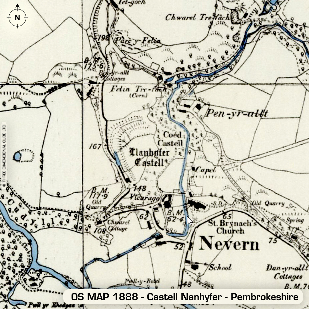
DTM- (Digital Terrain Model, i.e. No buildings or foliage) North of the A487 lies the village of Nevern and overlooking the village sits the multivallate promontory fort, Castell Nanhyfer or Castle Nevern or even Llanhyver Castle. Site reused as a medieval castle roughly 700 years after the Romans abandoned Britain. Fine motte and bailey castle of 1191AD lies over defences on NW. Stone tower on east side of promontory. Castle site excavated 2008-2010 by C. Caple. A possible 50x50m Roman fort, Allt Jane lies west of the site which was discovered in 1999 via ariel photography revealing a double ditch square enclosure with internal parching, indicating buildings. No recorded excavations or finds, hence undated. (Scheduled monument) Iron Age tribal association (conjecture based on location): Demetae Descriptions from hillforts.arch.ox.ac.uk & Dyfed Archaeological Trust HER. Contains public sector information licensed under the Open Government Licence v3.0.