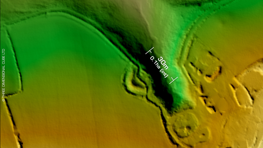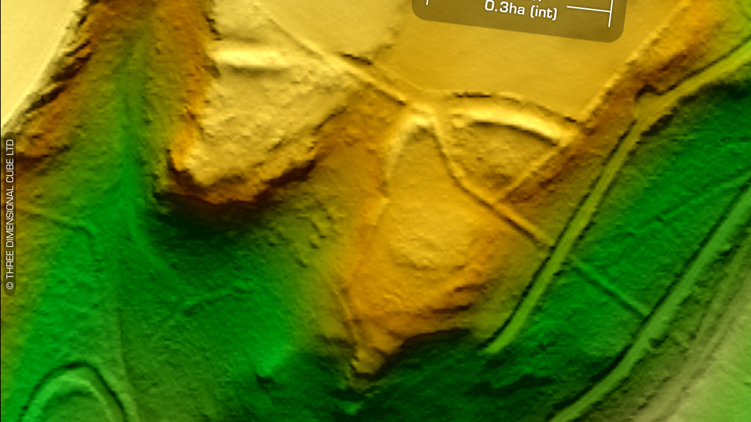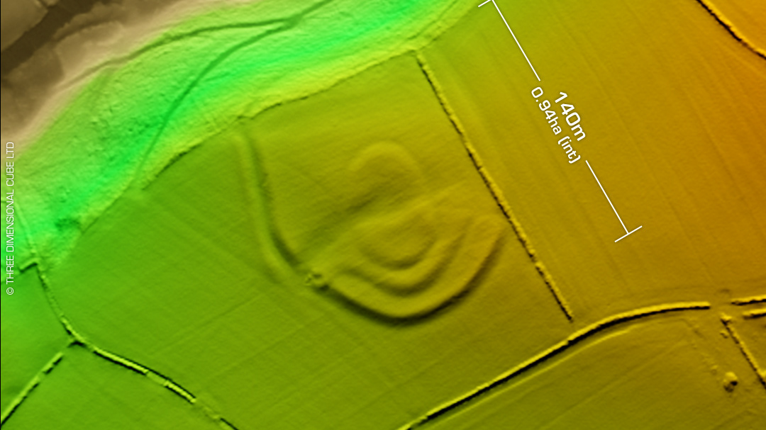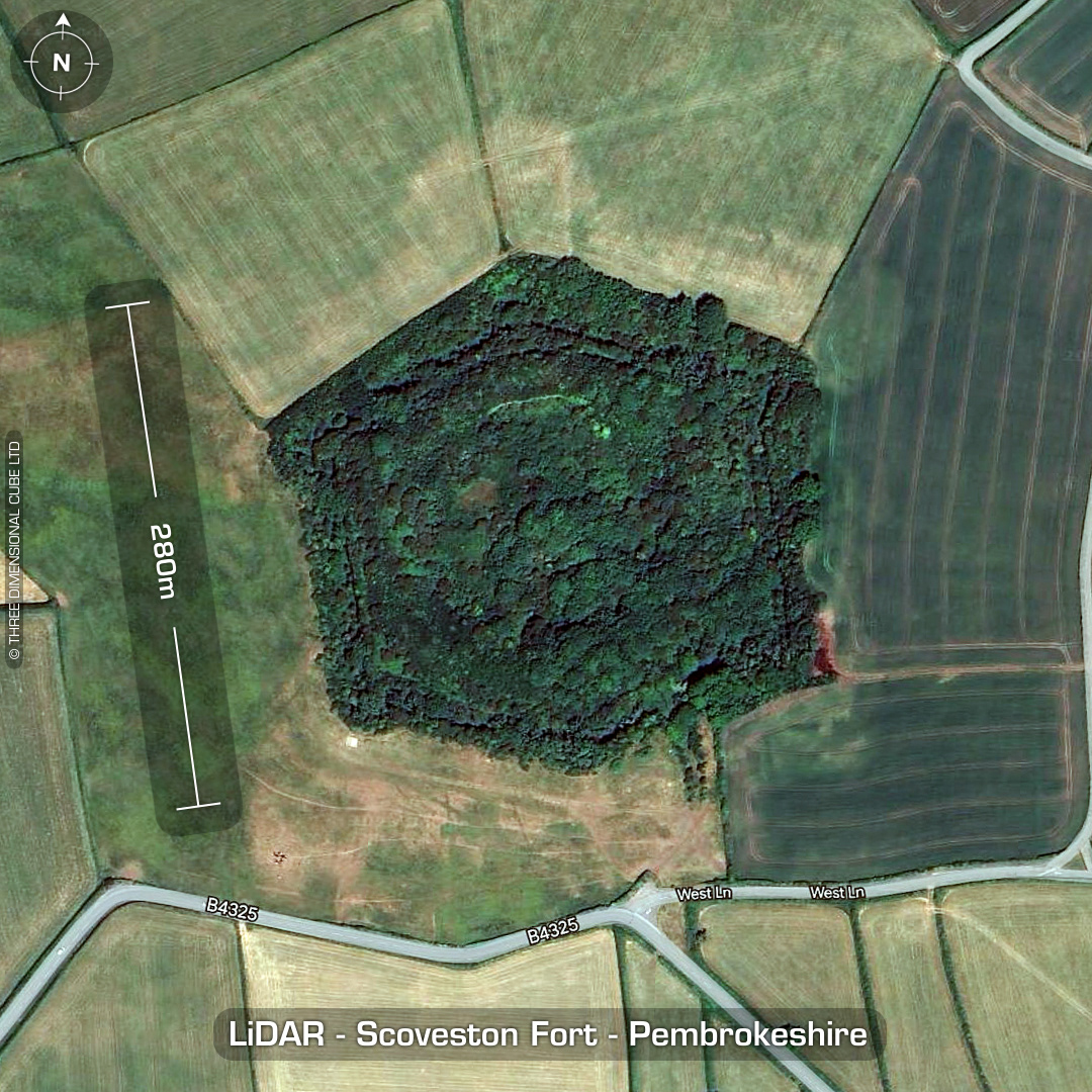


DTM- (Digital Terrain Model, i.e. No buildings or foliage) I saw this bad-boy whilst scouting around the area on LiDAR. To the northeast of the refinery at Waterston lies the Palmerston defensive fort, Scoveston Fort. Construction between 1861-64. (Not listed on OS maps until 1948!) Guns never installed as hostilities against the French had almost ceased by its completion. Used later as a training camp. Complex trench system installed around WW1. In WW2 it was used as an air raid shelter for the residents of Neyland then as munition storage for D-Day. Fort now on private land and left overgrown. There are plenty of interior shots online but I can’t find an image of what the fort looked like in its heyday. (Grade II listed) Descriptions from Wikipedia. 1st ED OS Mapping via National Library of Scotland. Contains public sector information licensed under the Open Government Licence v3.0.