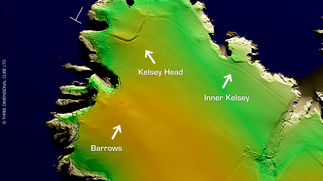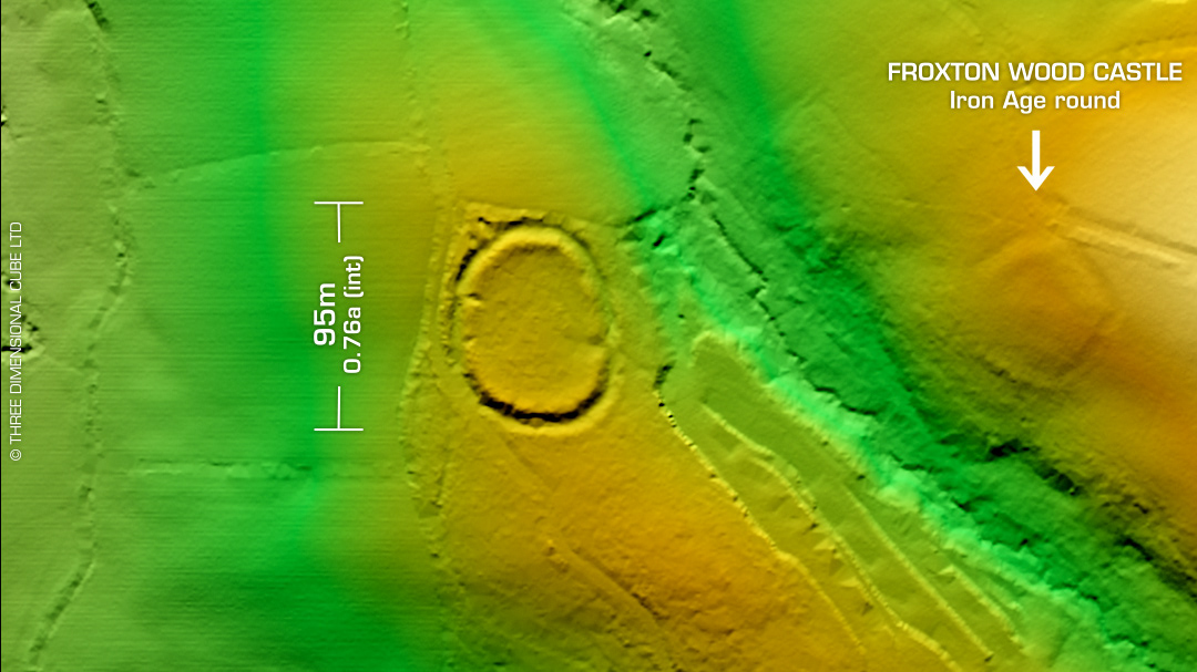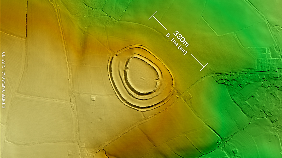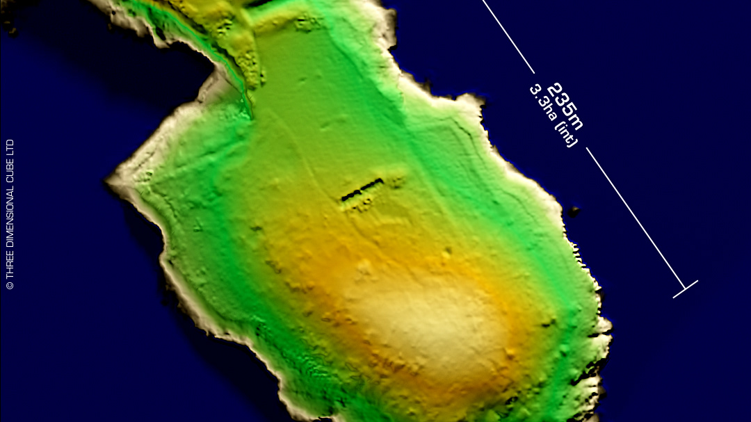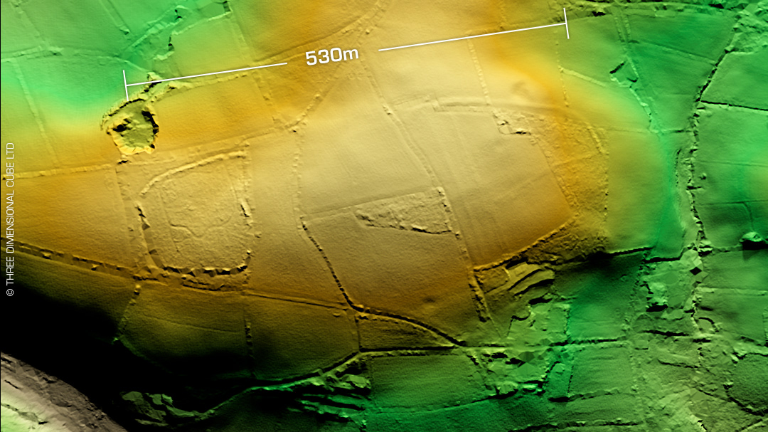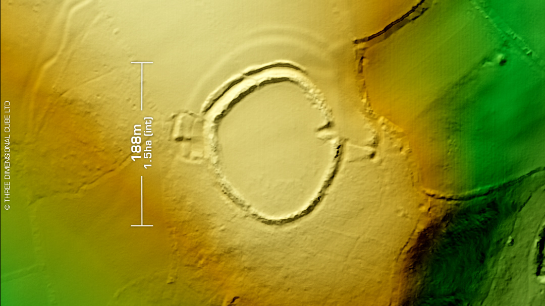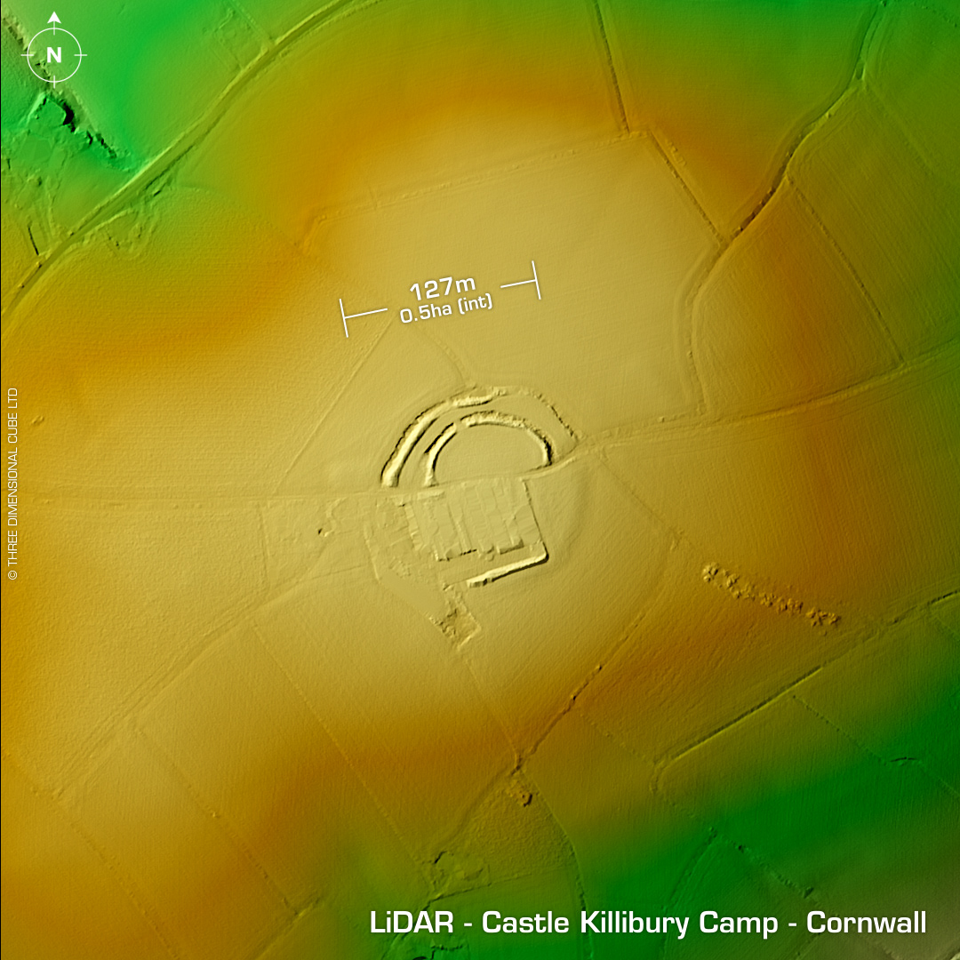
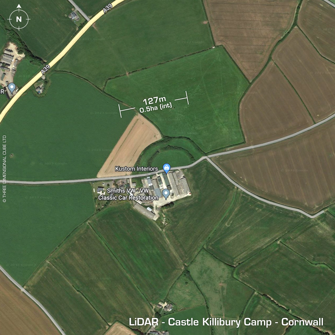
DTM- (Digital Terrain Model, i.e. No buildings or foliage) Just to the north east of Wadebridge and south of the A39 & bisected by a track lies the bivallate contour hillfort, Castle Killibury Camp or Kelly Rounds. South side of site destroyed by farm building & land. Excavations in 1974 found a long sequence of timber buildings, including four post structures and a seven post framed for the ring beam of a 9m diameter round house. Glastonbury Ware pottery recovered. Cordoned Ware pottery recovered. Spectroscopic analysis of pottery confirmed clay taken from the 'Lizard'(Point) area of Cornwall. Pottery sherds indicate Bronze Age occupation circa 900BC. C14 dated material at 300BC. 5th/6th century AD pottery sherds. Amphora found at plough level suggest post-Roman activity. Slag finds from metal working. Last site visit in 2011. Whoever built the farm over the hillfort, thus destroying 50% of the site needs a smacked bottom. What a twat. Iron Age tribal association (conjecture based on location): Dumnonii (Scheduled Monument) [Any descriptive text attributed to the Atlas of Hillforts & Historic England websites]