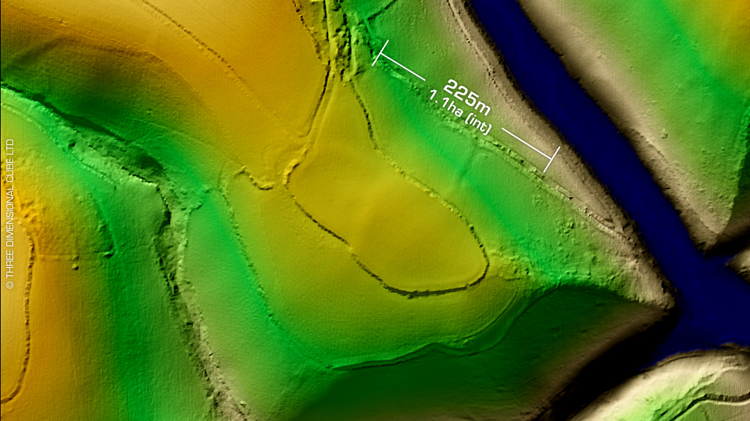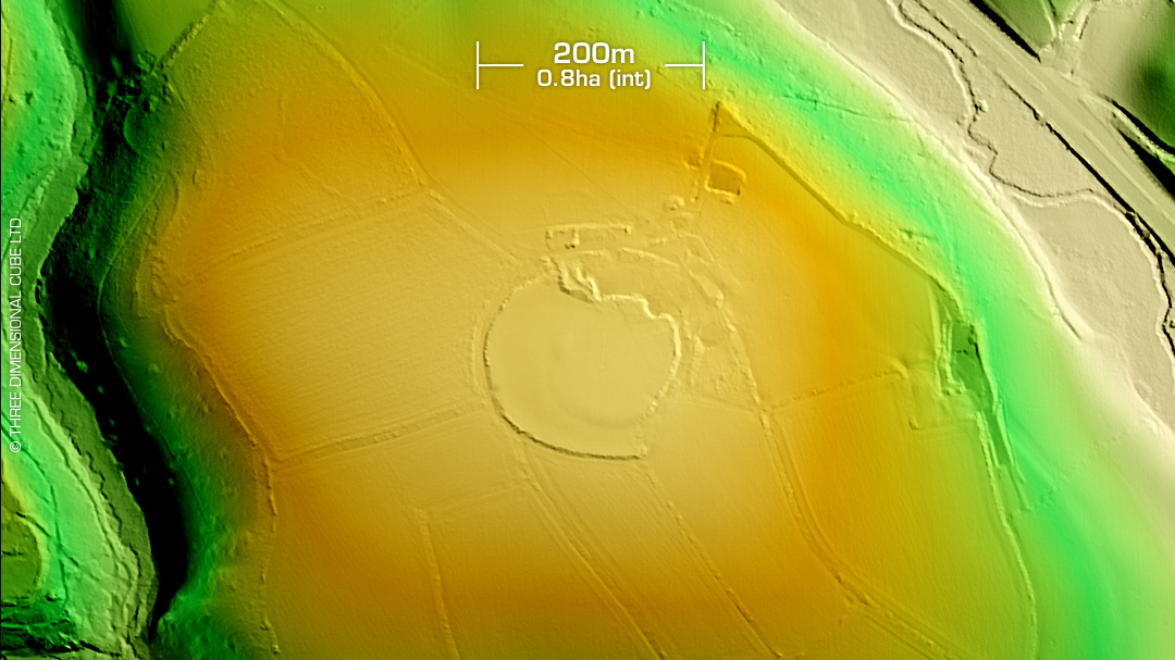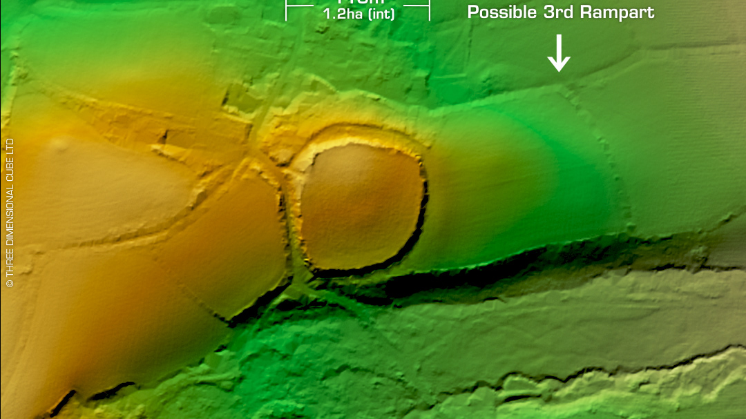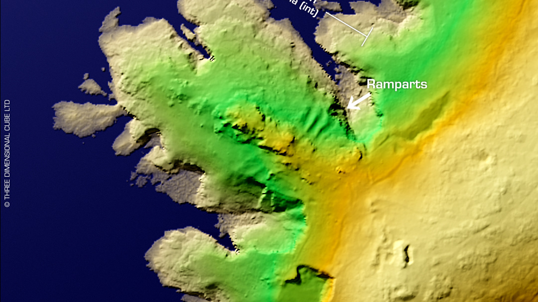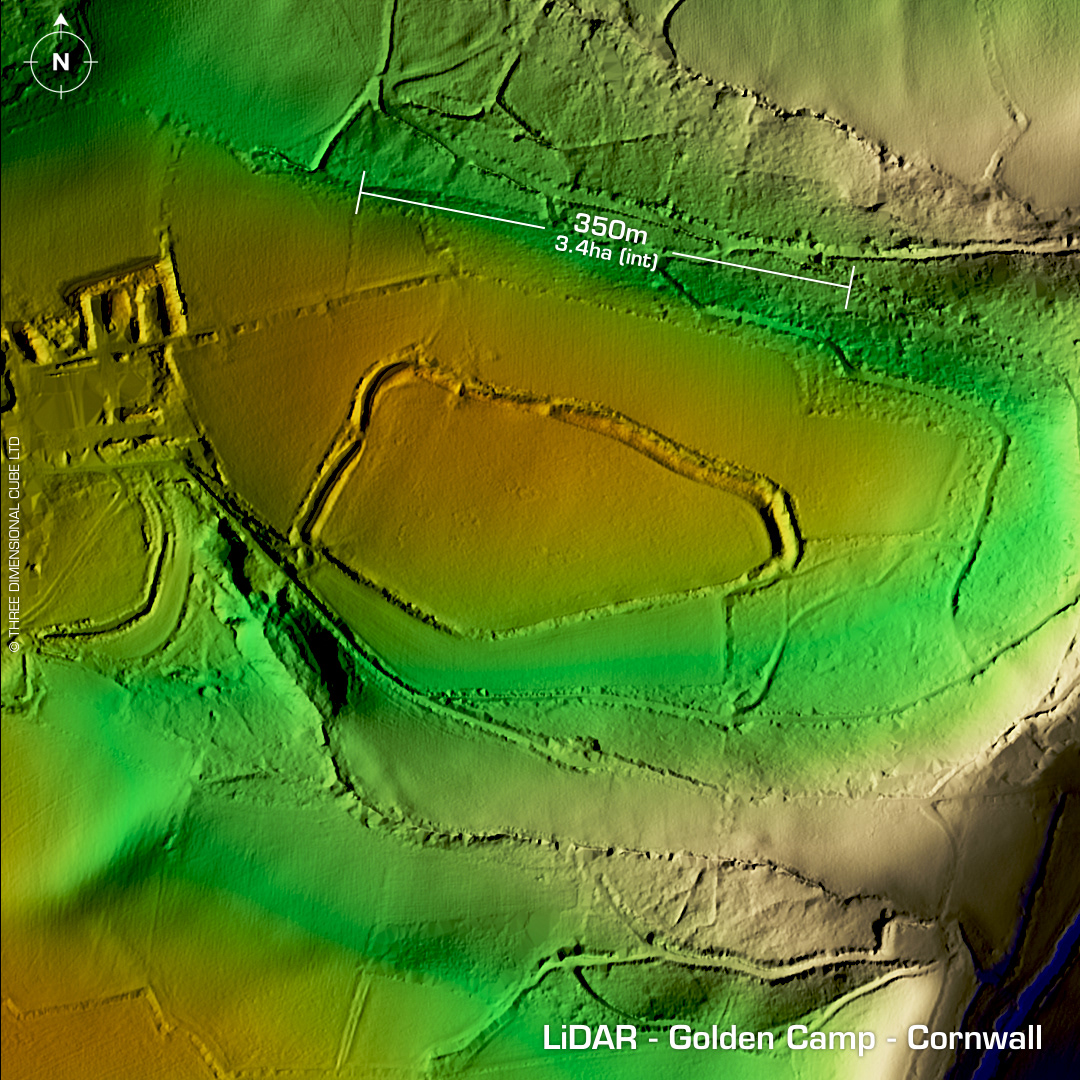
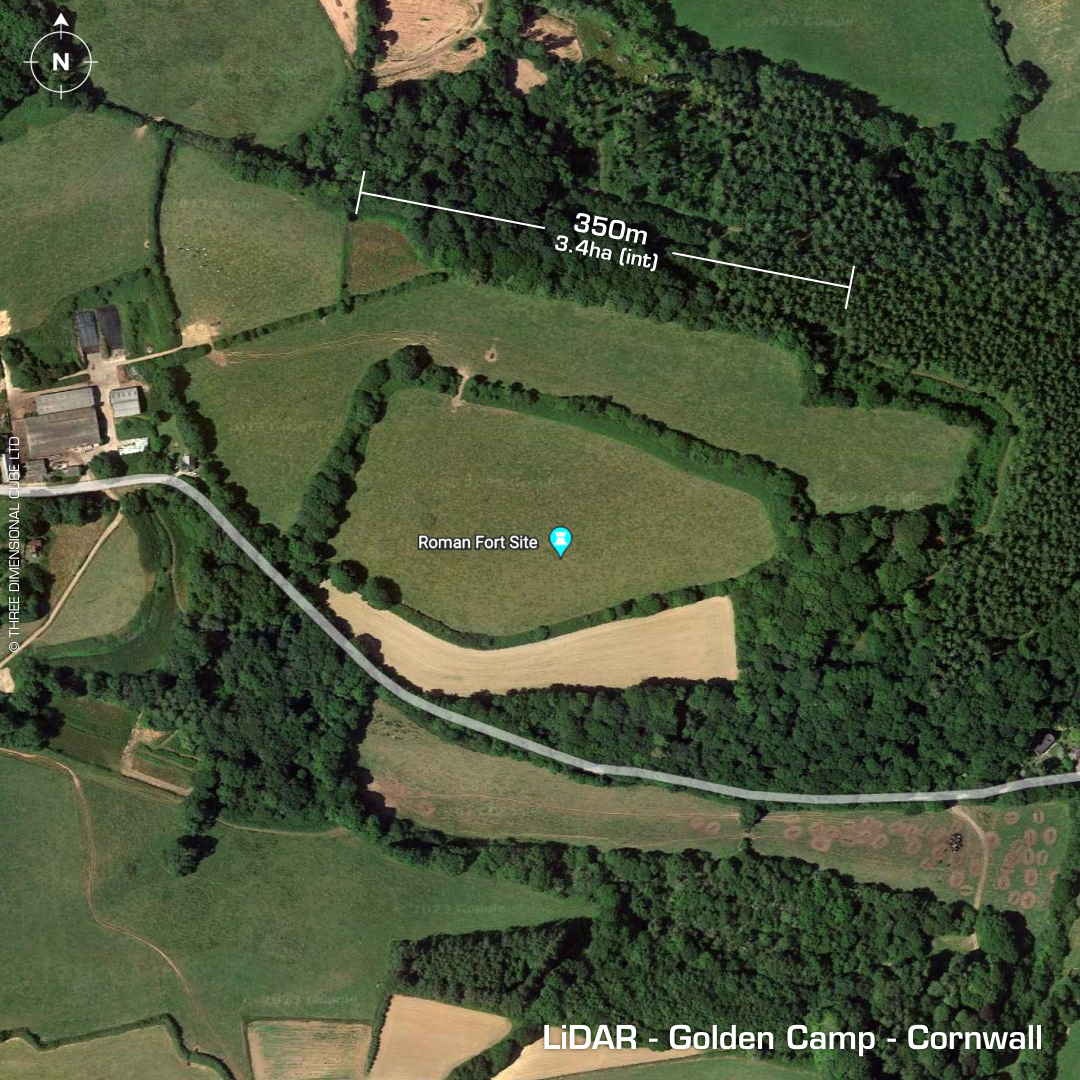
DTM- (Digital Terrain Model, i.e. No buildings or foliage) North of Tregony and east of Probus and bordered by trees just to the west of the River Fal lies the univallate partial contour hillfort, Golden Camp. Degraded by plough damage. First written reference in the 12th century as 'Castellario'. Next mention by Borlase in the 18th century. On 1st Ed. OS Map of 1880. Last survey (Geophys) in 2004 by University of Durham. No excavations or recorded finds, hence undated). Iron Age tribal association (conjecture based on location): Dumnonii (Scheduled Monument) [Any descriptive text attributed to the Atlas of Hillforts & Historic England websites]