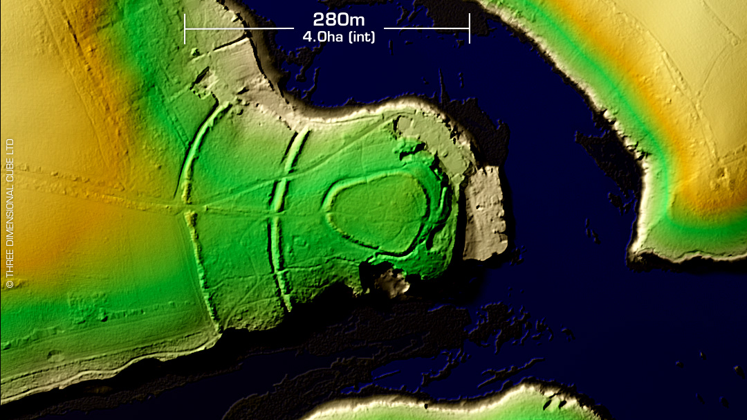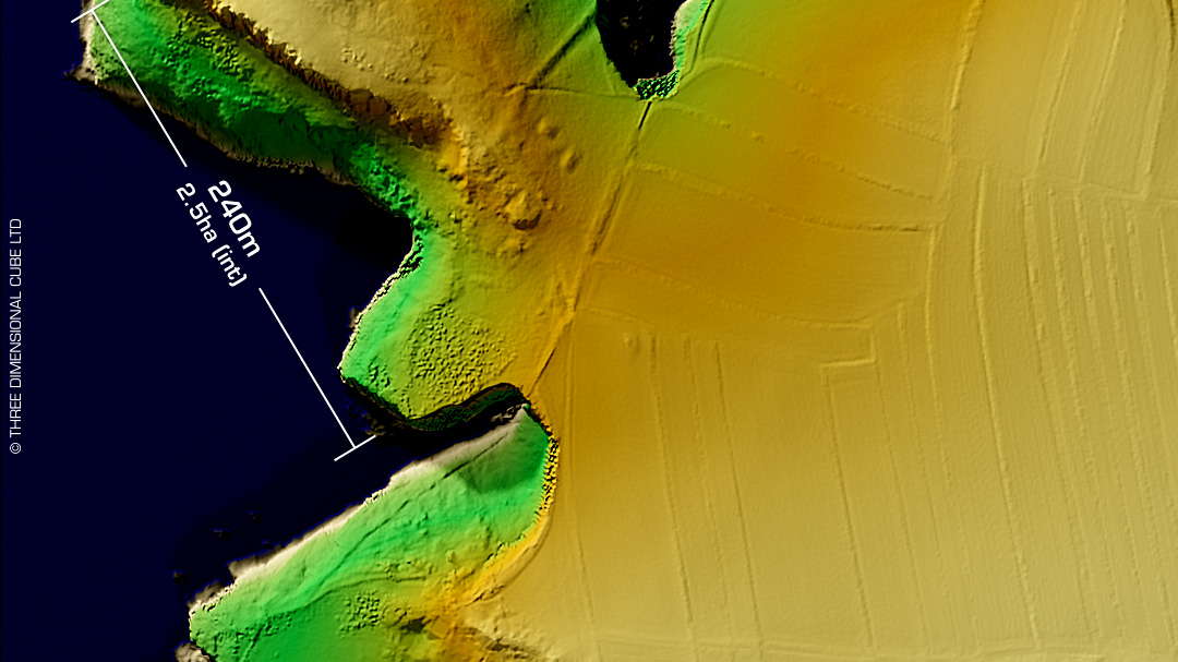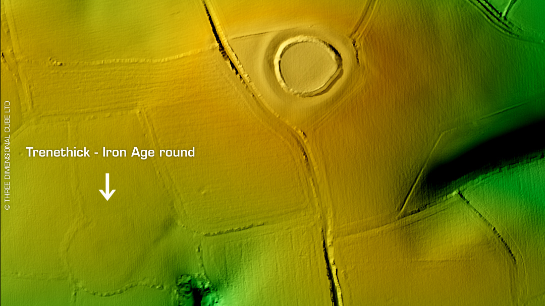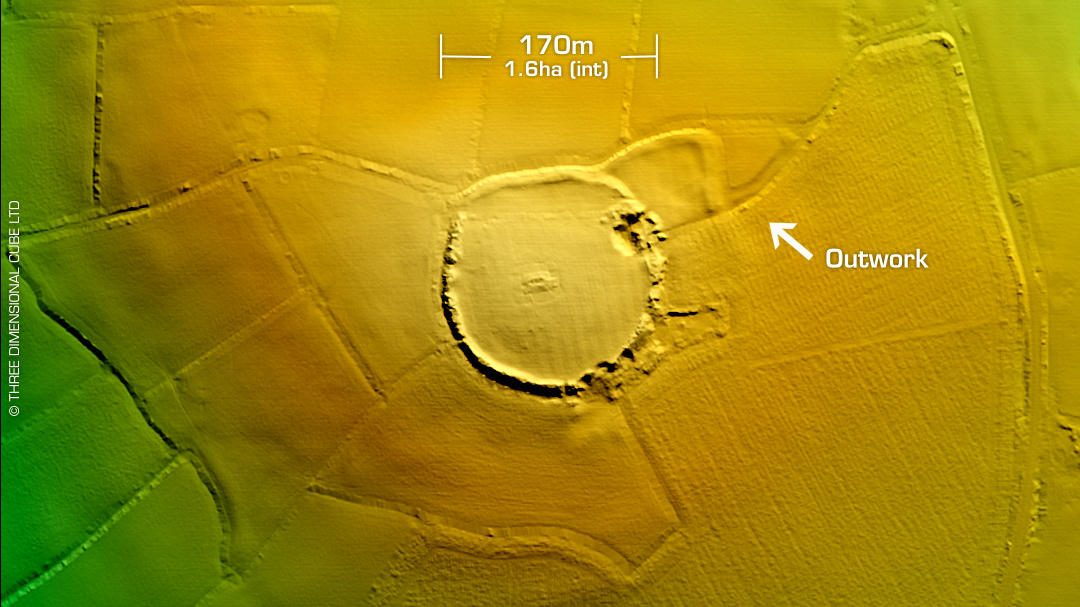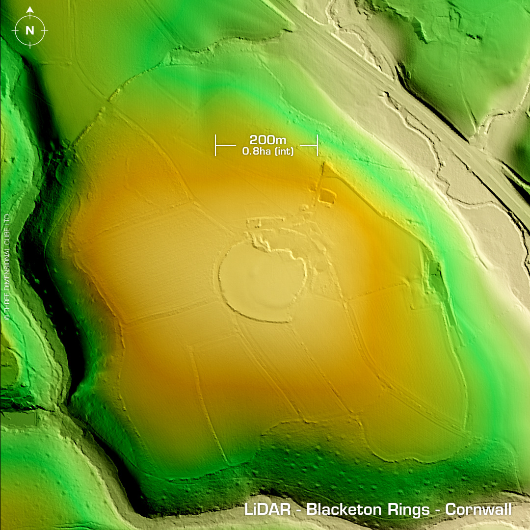
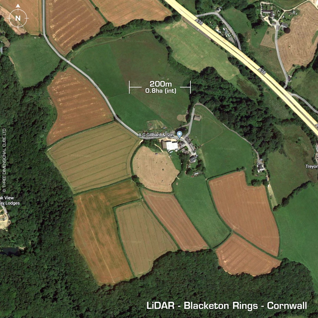
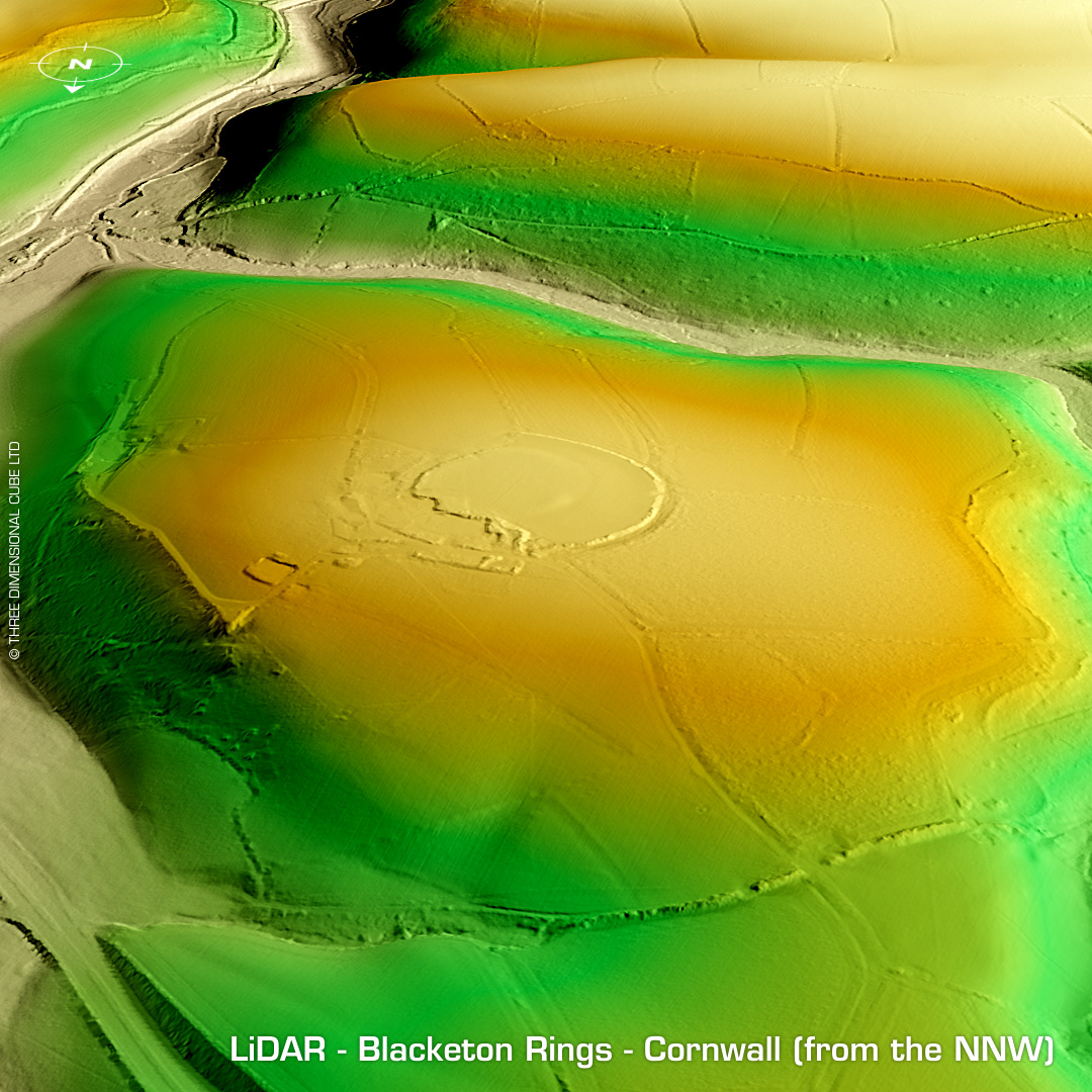
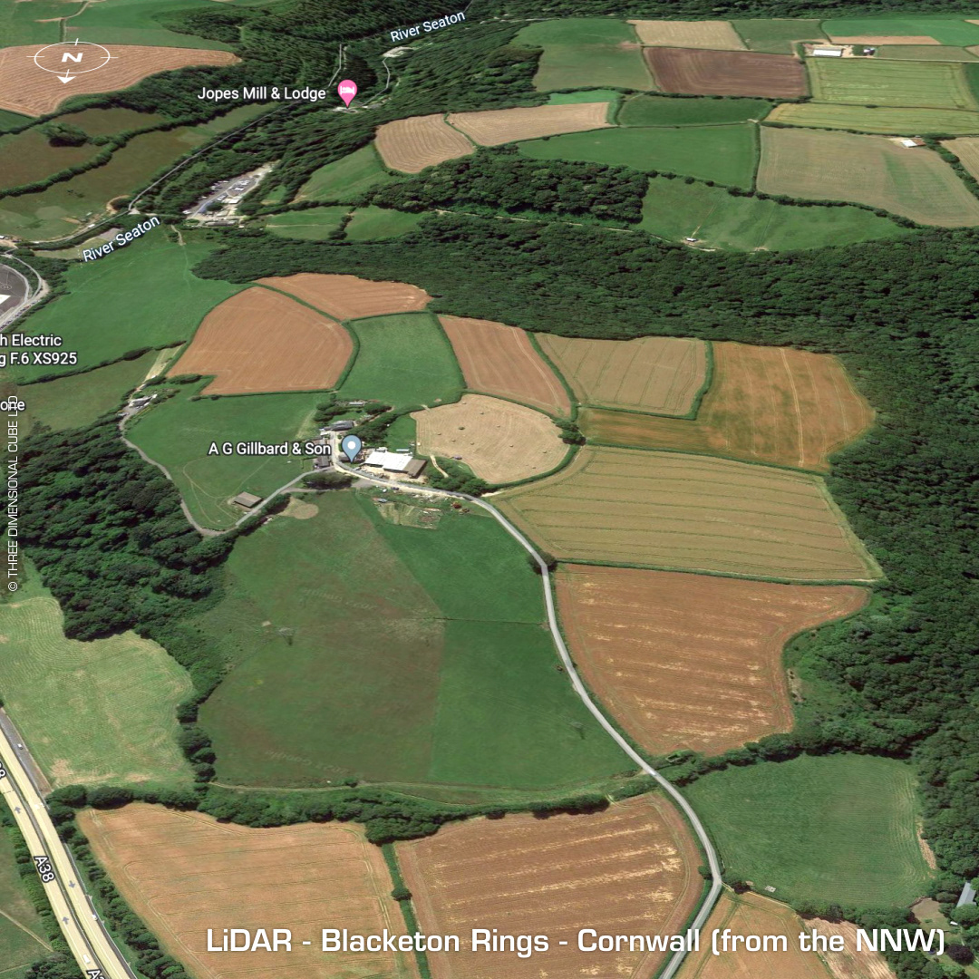
DTM- (Digital Terrain Model, i.e. No buildings or foliage) Just to the southeast of Menheniot station & below the A38 and ringed by hedges lies the univallate hillfort, Blacketon Rings. Outworks visible but entire site heavily degraded by ploughing. On 1st Ed. OS Map 1882. Last site investigation 1970. No recorded excavations or finds, hence undated. Iron Age tribal association (conjecture based on location): Dumnonii (Scheduled Monument) [Any descriptive text attributed to the Atlas of Hillforts & Historic England websites]