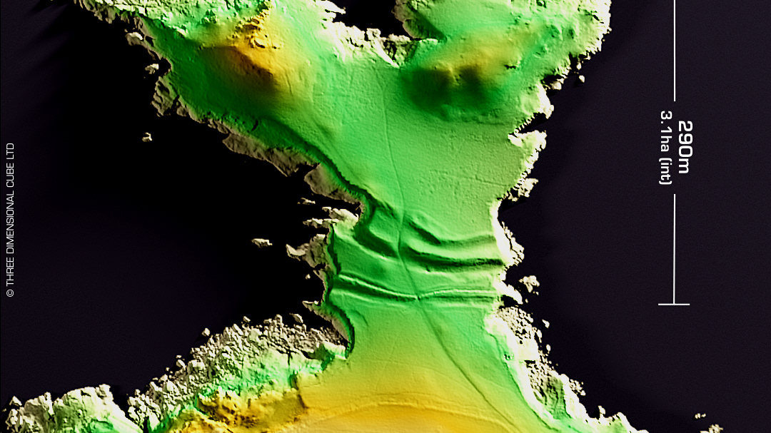
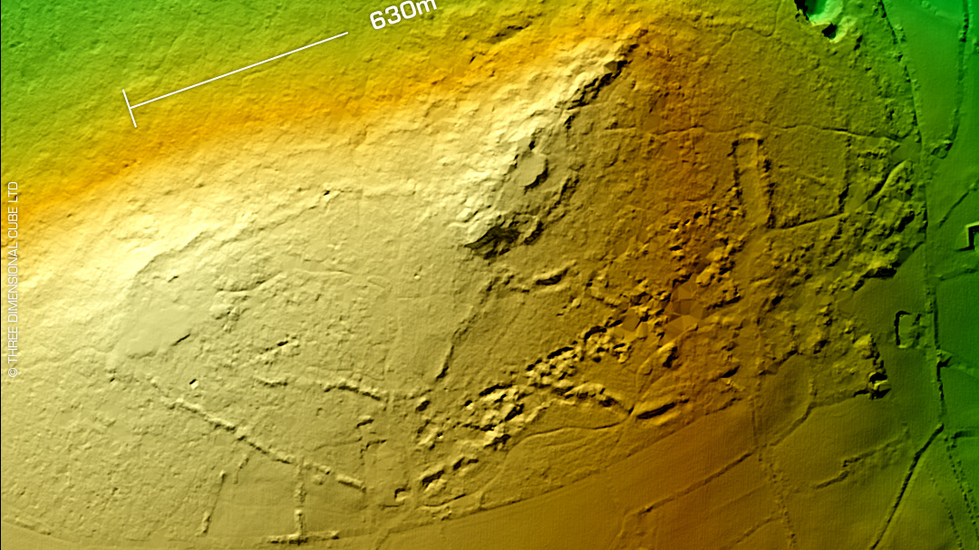
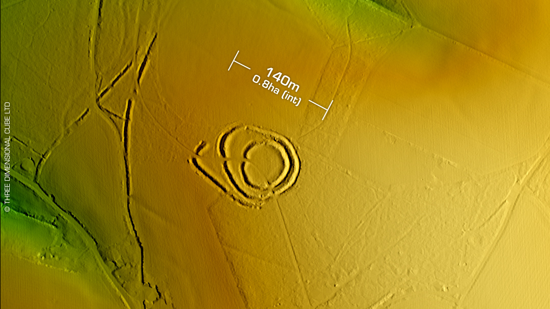
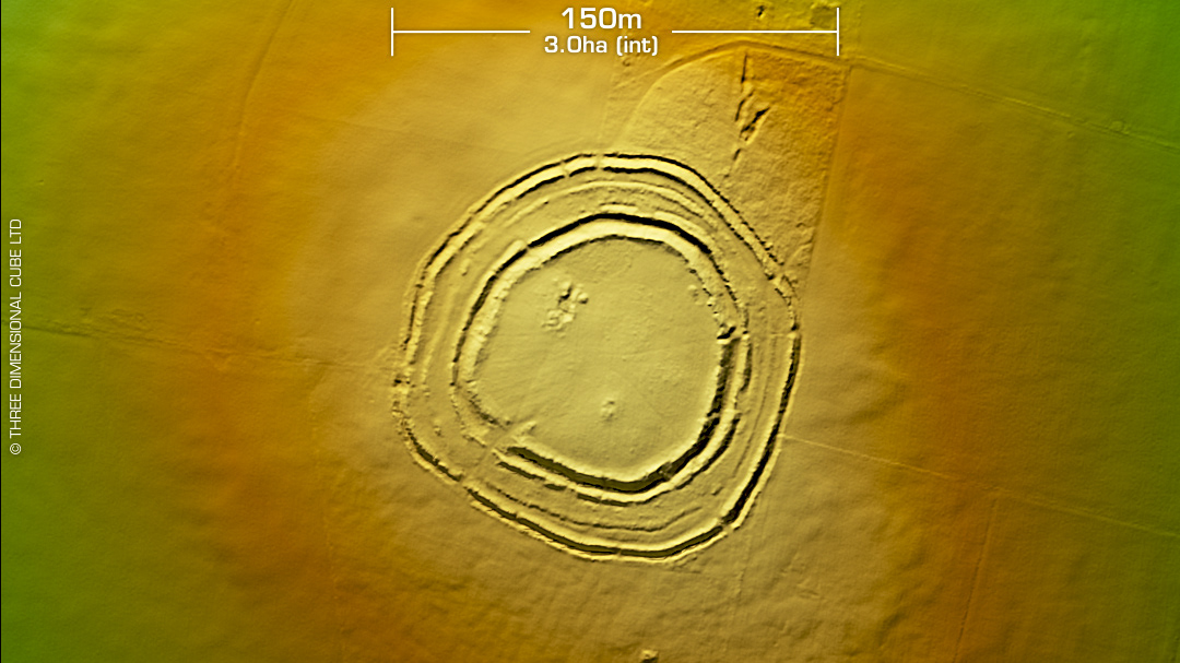
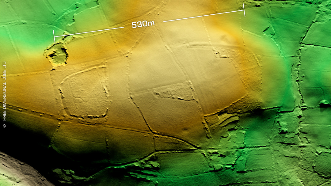
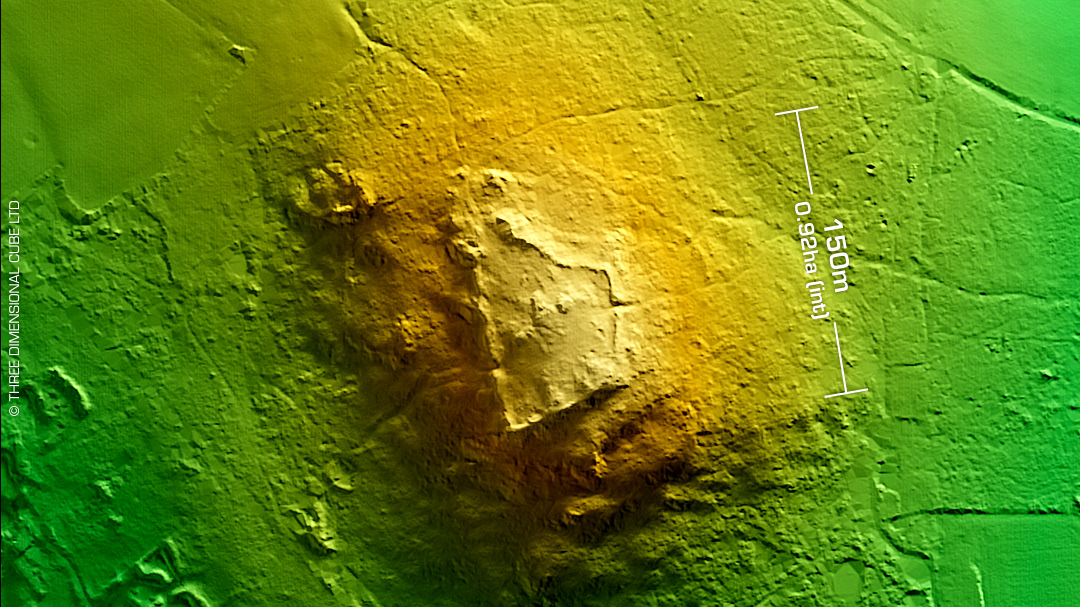
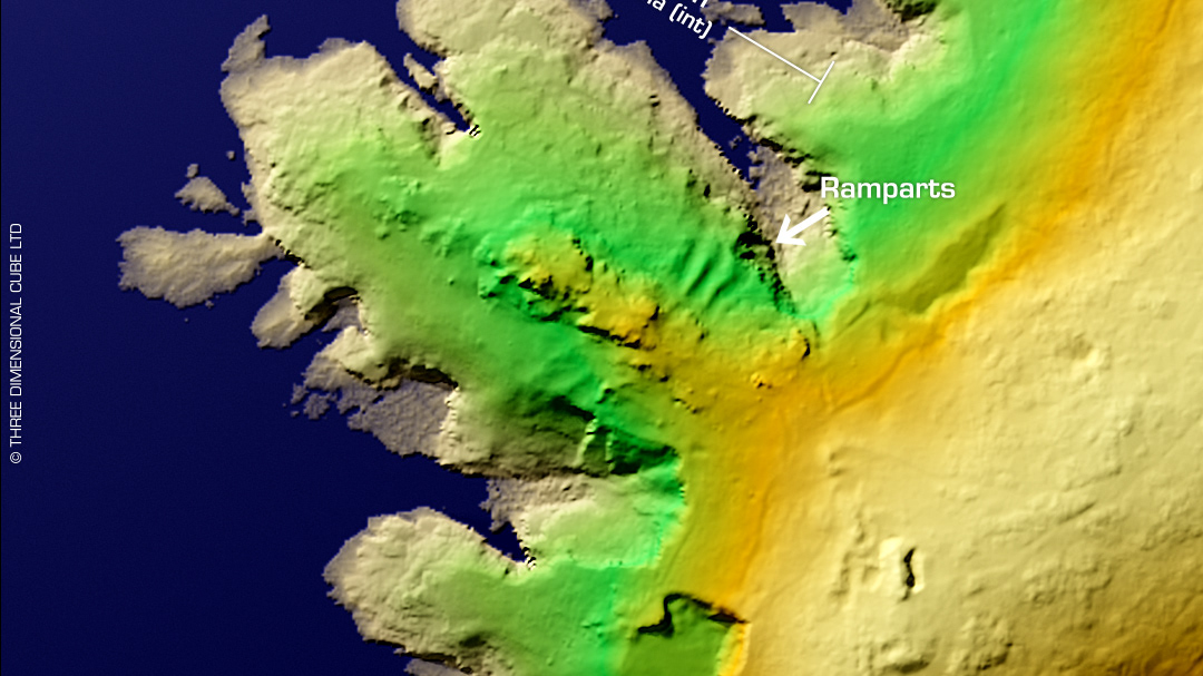
DTM- (Digital Terrain Model, i.e. No buildings or foliage) Two km east of Menheniot train station & overlooking the A38 from the north lies the small bivallate contour hillfort, Padderbury Top (Hill). Crop marks reveal up to four ramparts originally. Degraded by ploughing over the centuries. First written reference in 1814 (Lysons). DOE investigations: 1976, 78, 81 and 83. Just to the SW of the site lies the Iron age round, Trenethick. (Named after the farm) First revealed on ariel photography as a crop mark in 1964. A Bronze age barrow is possible also within the round. The whole area is surrounded by an early medieval field system. No recorded excavations or finds, hence undated. Iron Age tribal association (conjecture based on location): Dumnonii (Scheduled Monument (but not the round)) [Any descriptive text attributed to the Atlas of Hillforts & Historic England websites]