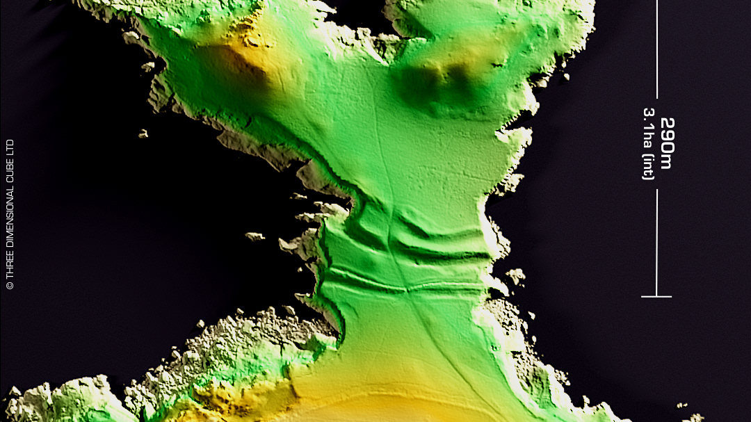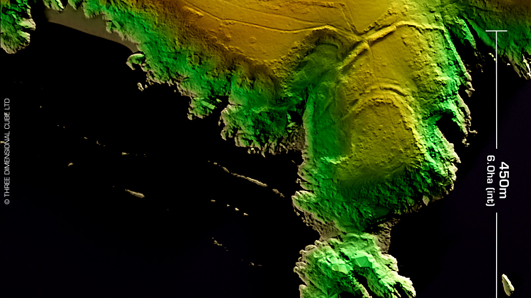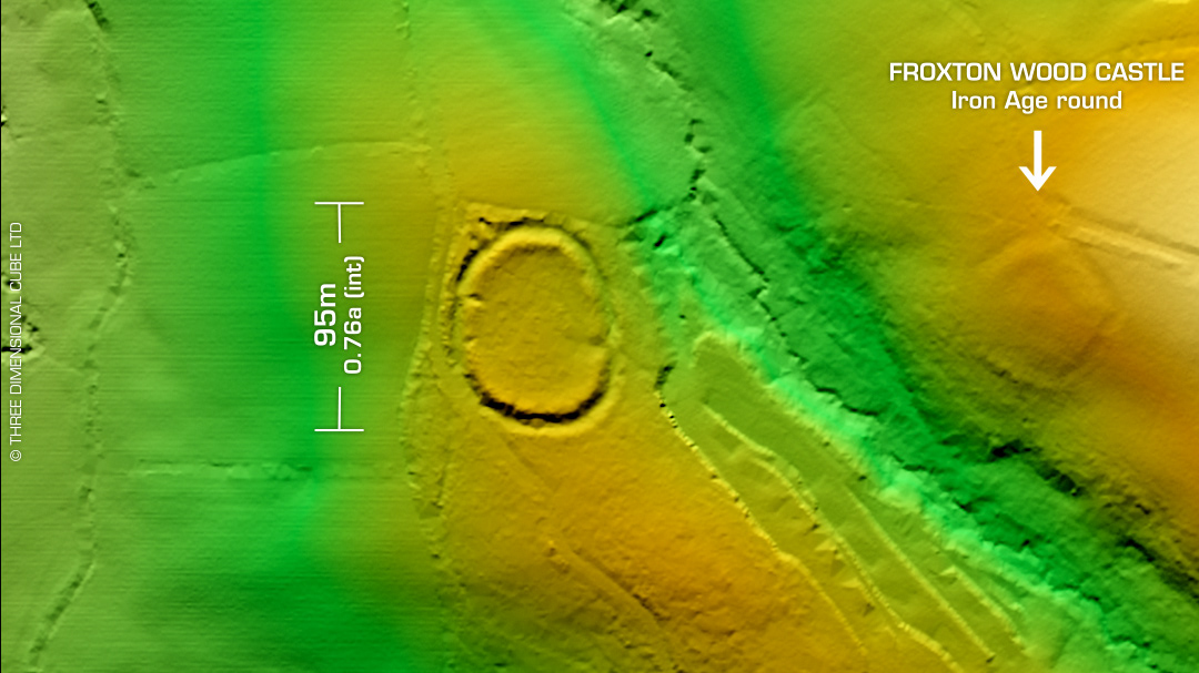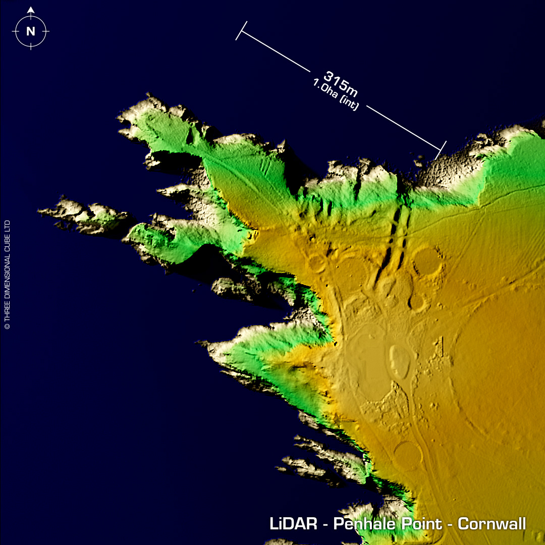
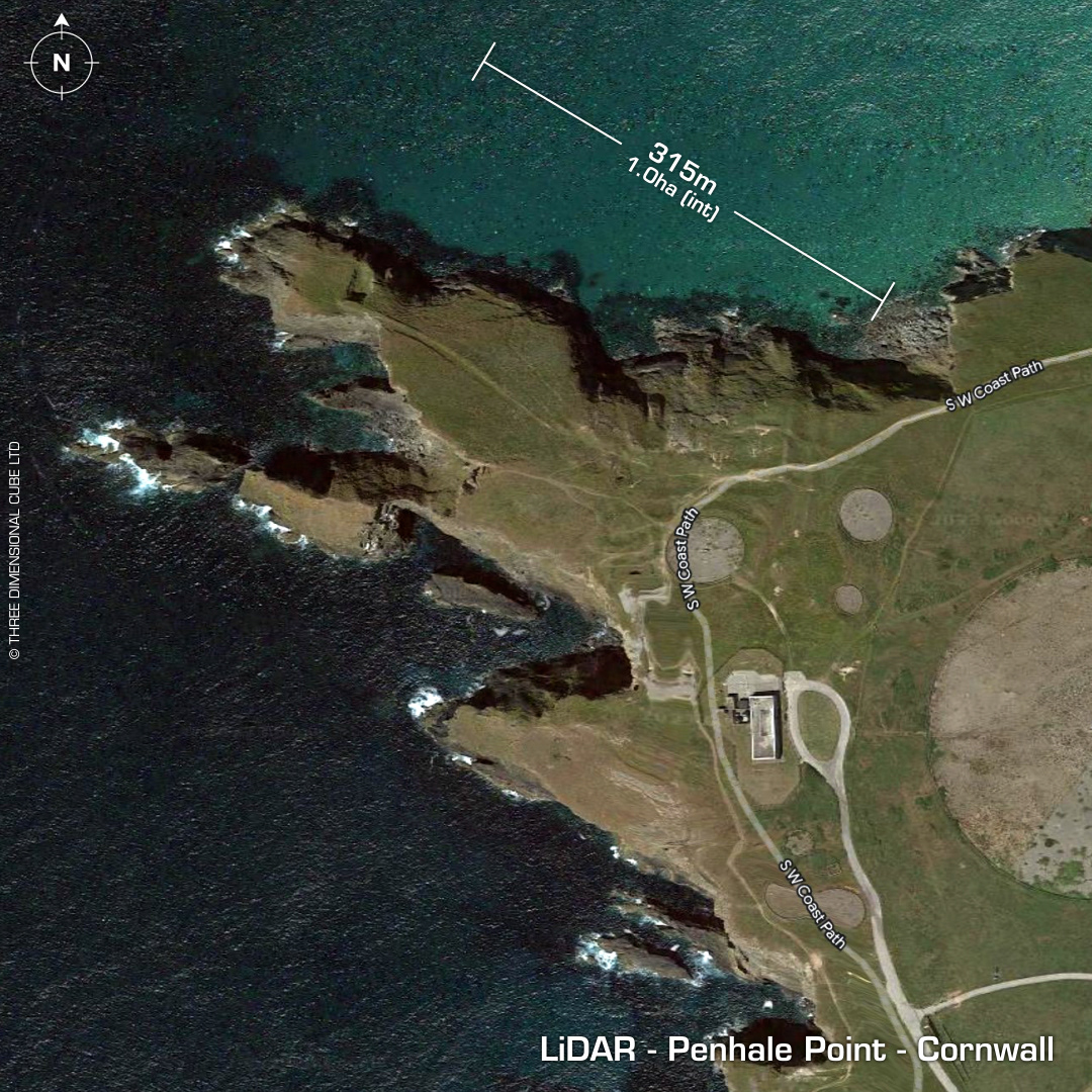
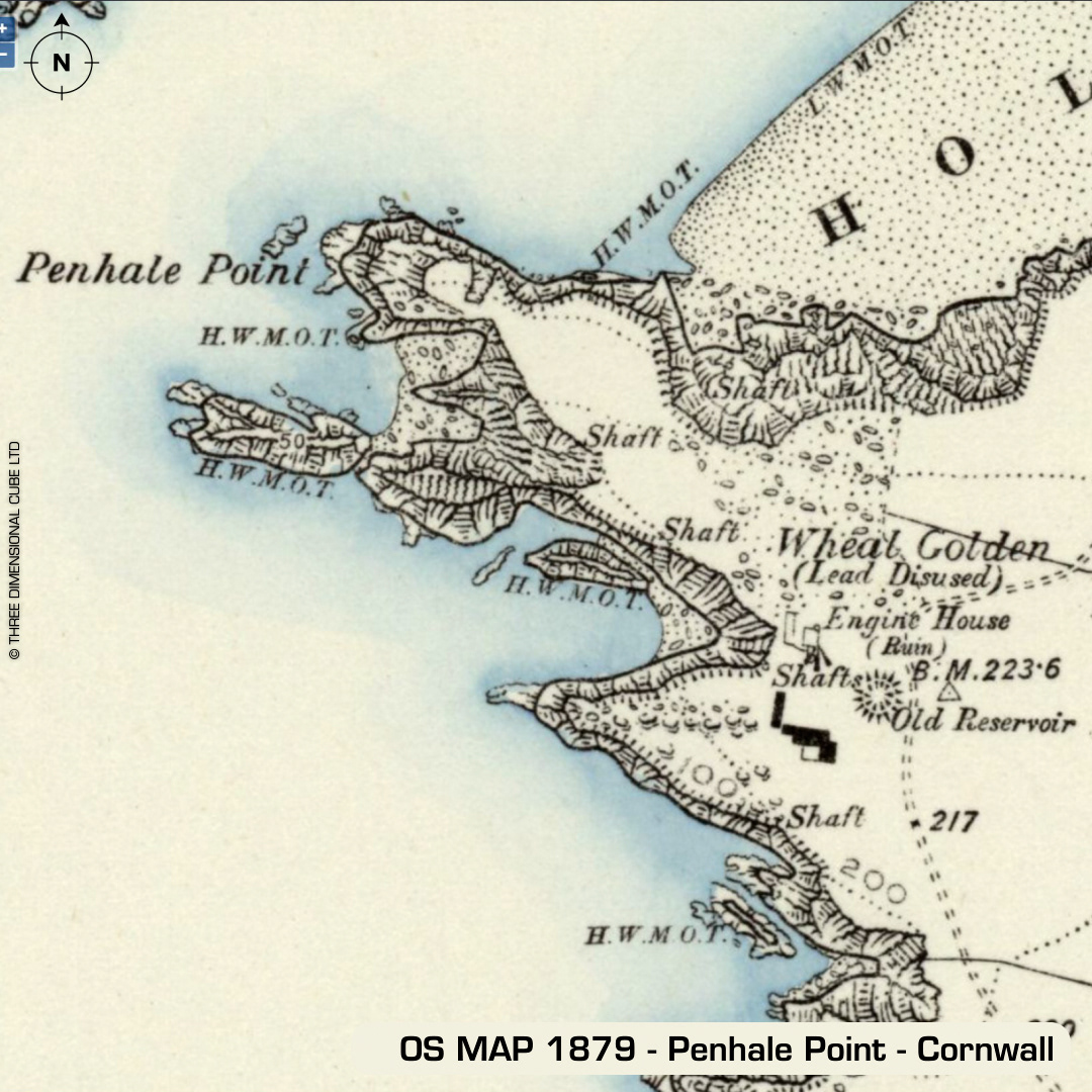
DTM- (Digital Terrain Model, i.e. No buildings or foliage) I nearly didn't include this one as it was so degraded, but the ramparts are still impressive and as the whole site was a military facility, (now abandoned) it added to the site's mystique. On a promontory to the west of Holywell lies the coastally eroded, lead mining and military site degraded fort, Penhale Point. Site of the Wheal Golden lead mine in 19th century. WW2 training camp then mid 1980s military radar facility. Discontinued in 2010. Massive rock-cut ramparts still extant. Part excavation in 1983. Finds include a 6m roundhouse of late Iron Age/Romano British date (101BC-88AD) via C14. Southern Western Decorated Vessel found within. Mesolithic microliths & Neolithic flint finds. First written reference in 1851 (R.Thomas). Iron Age tribal association (conjecture based on location): Dumnonii (Scheduled Monument (but not the round)) [Any descriptive text attributed to the Atlas of Hillforts & Historic England websites]