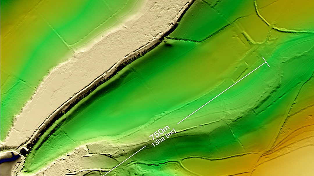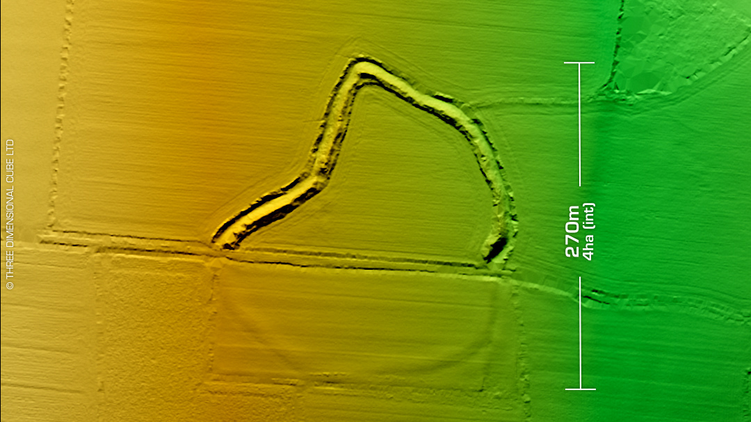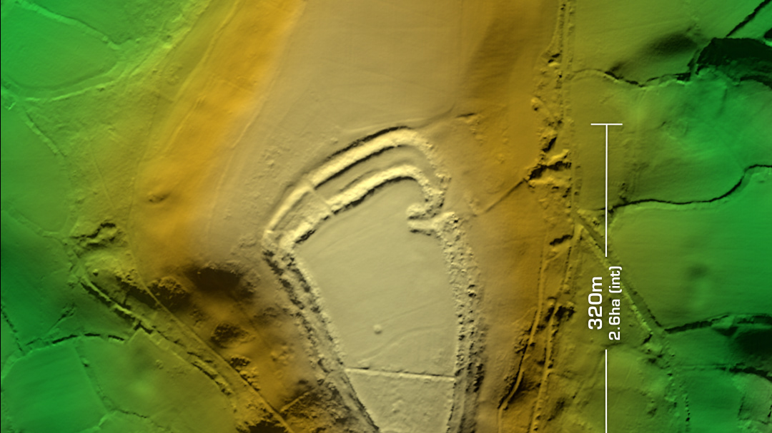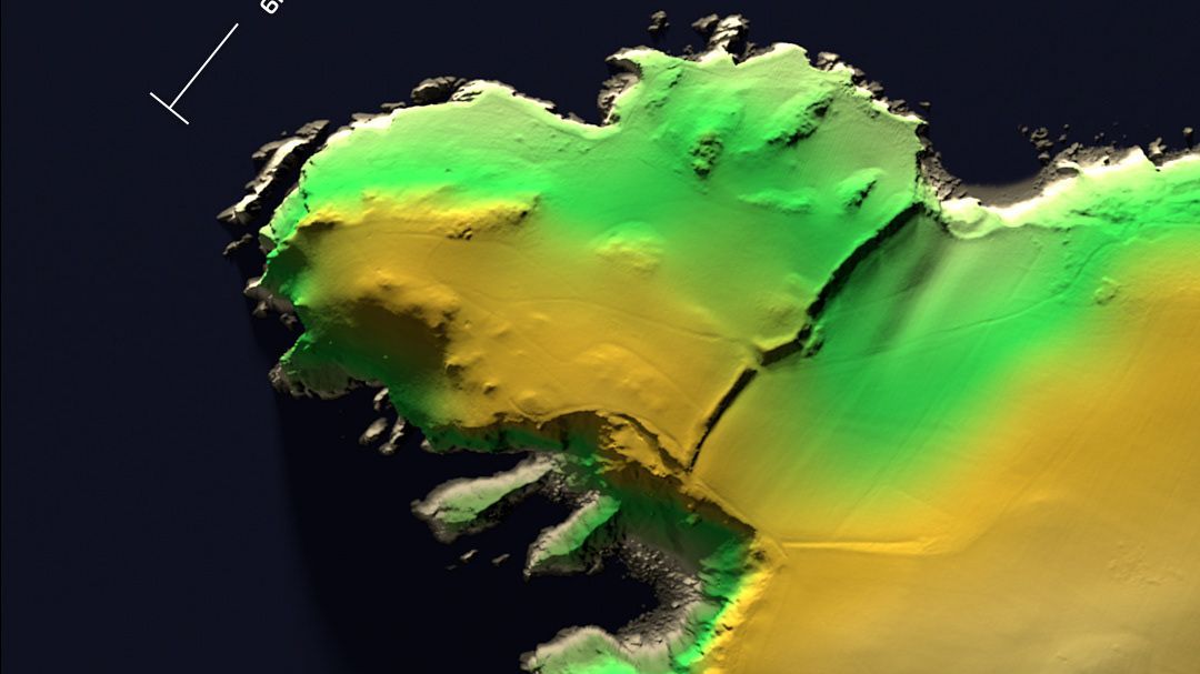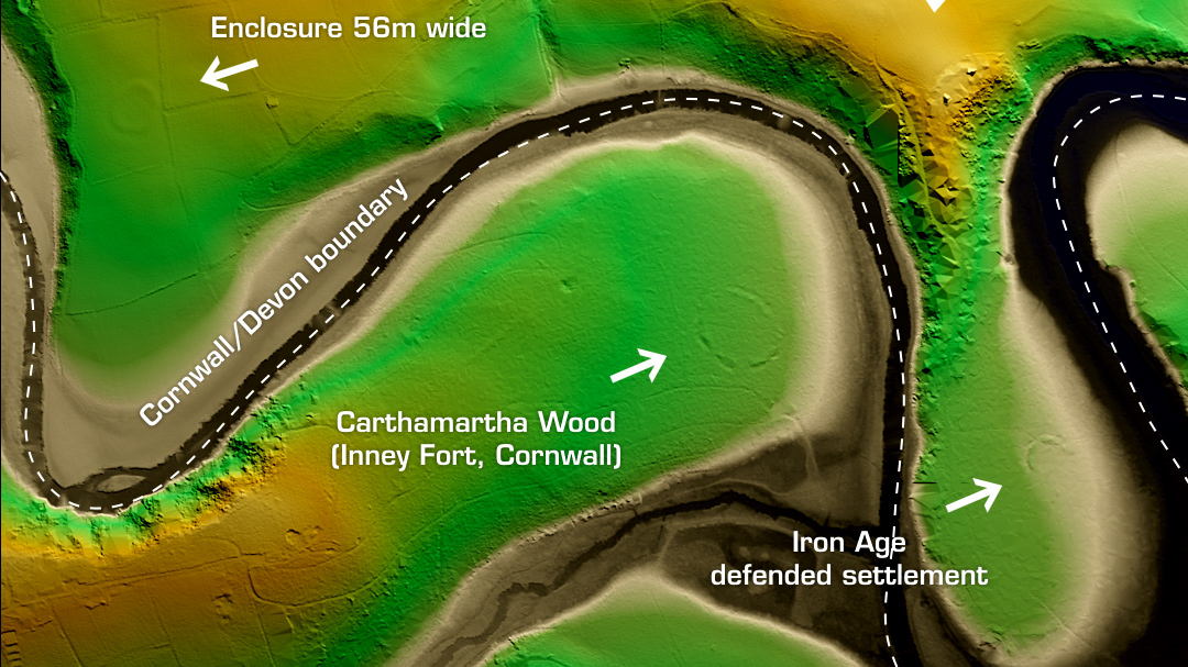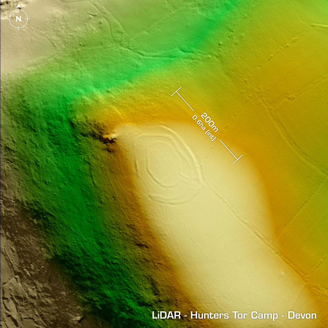
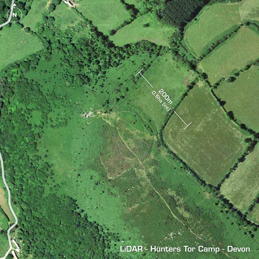
DTM- (Digital Terrain Model, i.e. No buildings or foliage) Overlooking the River Bovey and with the village of Manaton to the southwest lies the faint but complex multiple enclosure fort, Hunters Tor Camp. Possibly constructed on top of an earlier field system. Stone defenced ramparts robbed for local field walls hindering classification and construction phases. A hut circle recorded between eastern ramparts. Last investigation in 1993. No further investigations, hence undated. Iron Age tribal association (conjecture based on location): Dumnonii (Scheduled Monument) [Any descriptive text is attributed to the Atlas of Hillforts & Historic England websites and any associated archaeological descriptions online which will be credited accordingly.]