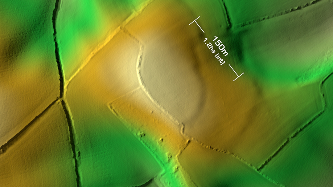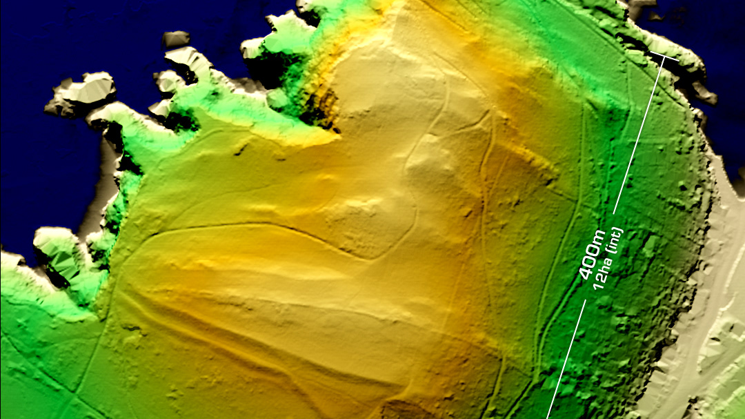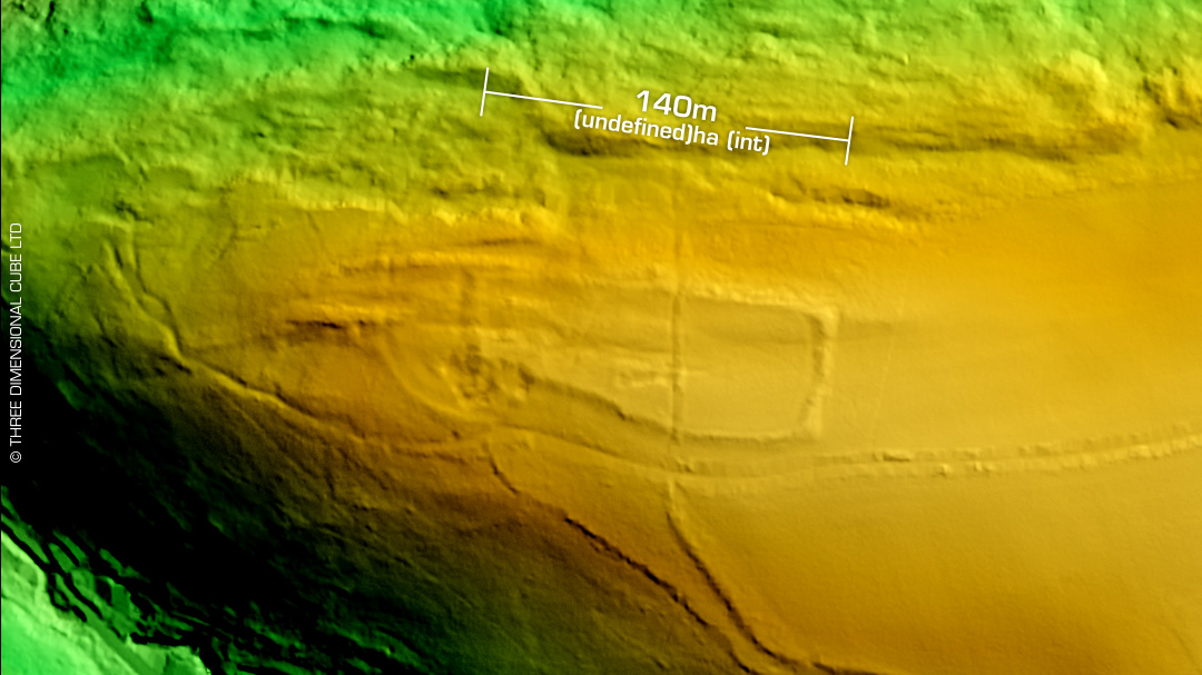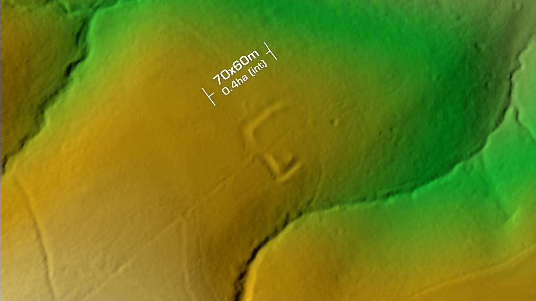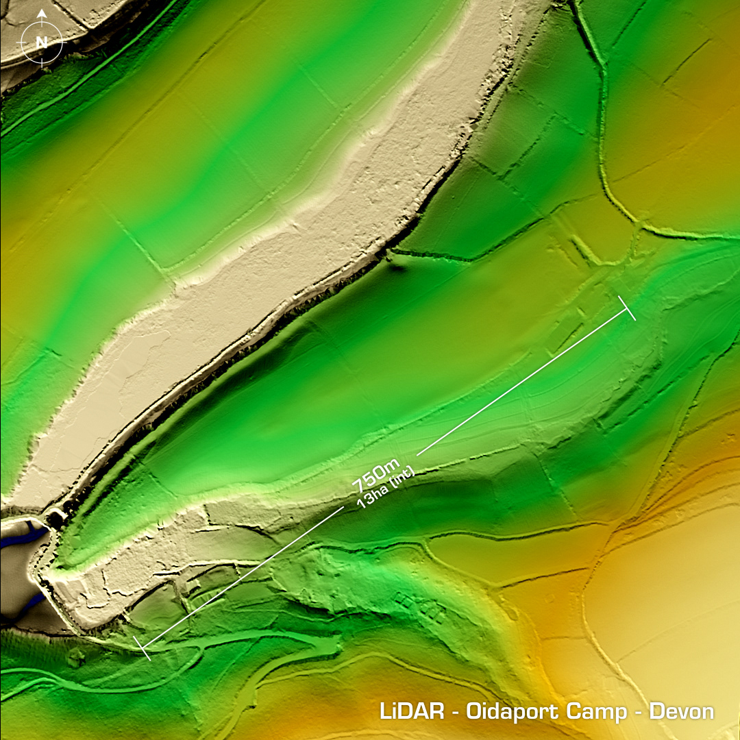
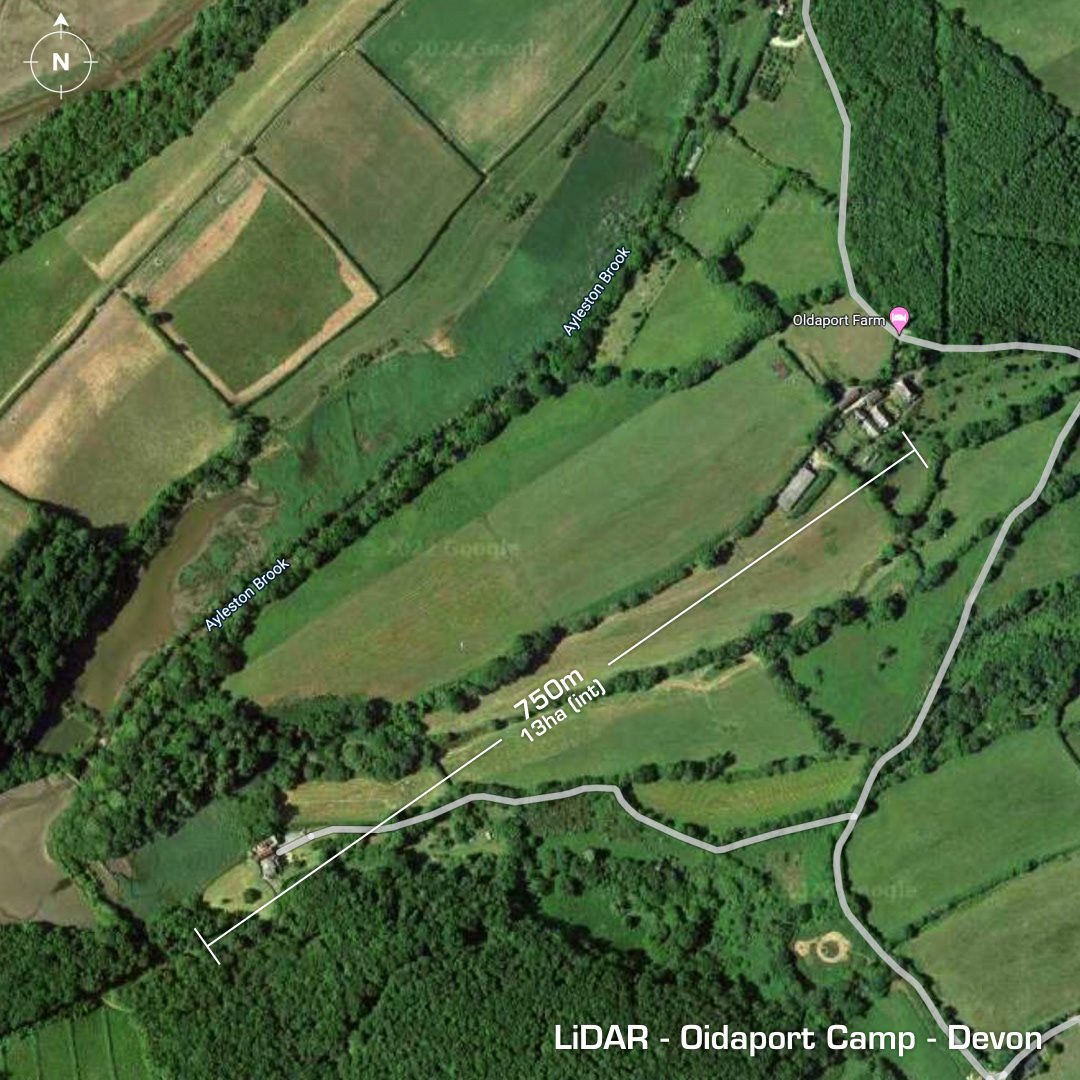
DTM- (Digital Terrain Model, i.e. No buildings or foliage) In between Holbeton and Great Torr at the end of a promontory alongside Aylestone Brook lies the (possible) partial contour hillfort, Oidaport Camp. Earth & stone walls bisect the end of the promontory but a rampart to the northeast protects the whole spur. Within a stone walled rectangular feature Samian sherds were found indicating Roman occupation. Two phase occupation where the tip of the spur was bisected (Romano British) then later additions, possibly Saxon in the reign of Aethelraed II. (AMS dating: 873-1020AD) Possible medieval use but not confirmed. First written record in 1887. Excavations in 1938 & 1968. Iron Age tribal association (conjecture based on location): Dumnonii (Scheduled Monument) [Any descriptive text is attributed to the Atlas of Hillforts & Historic England websites]