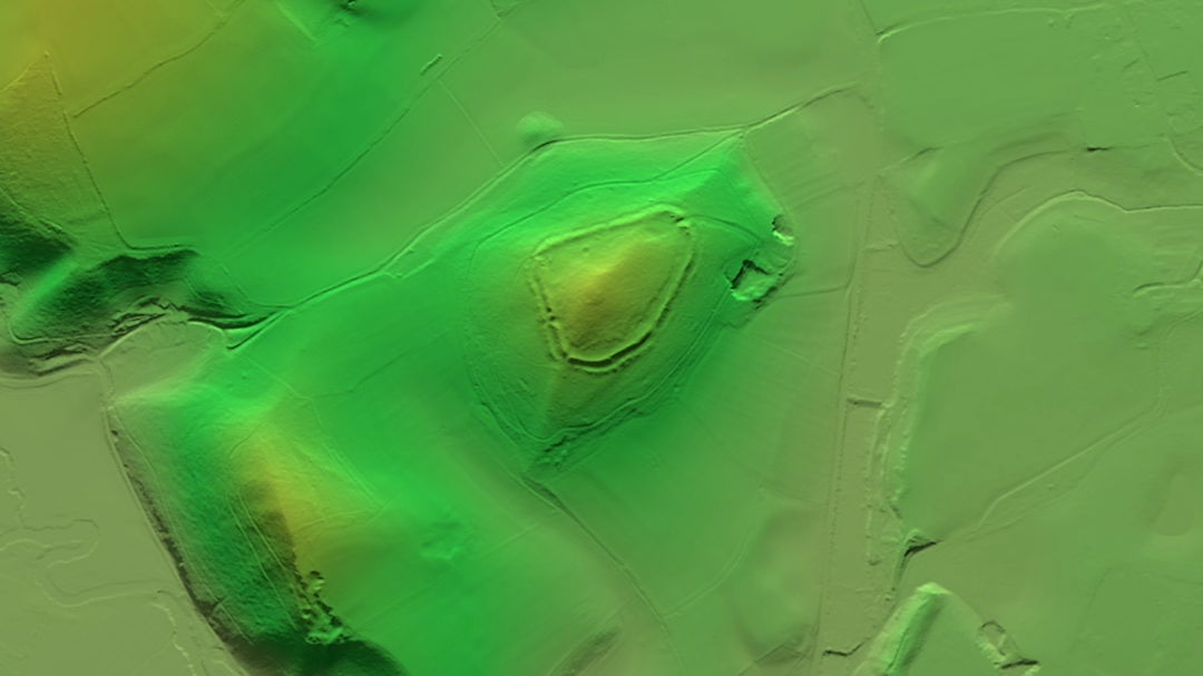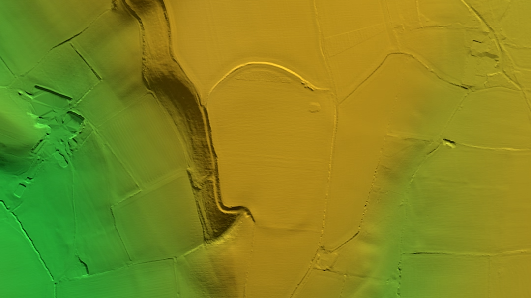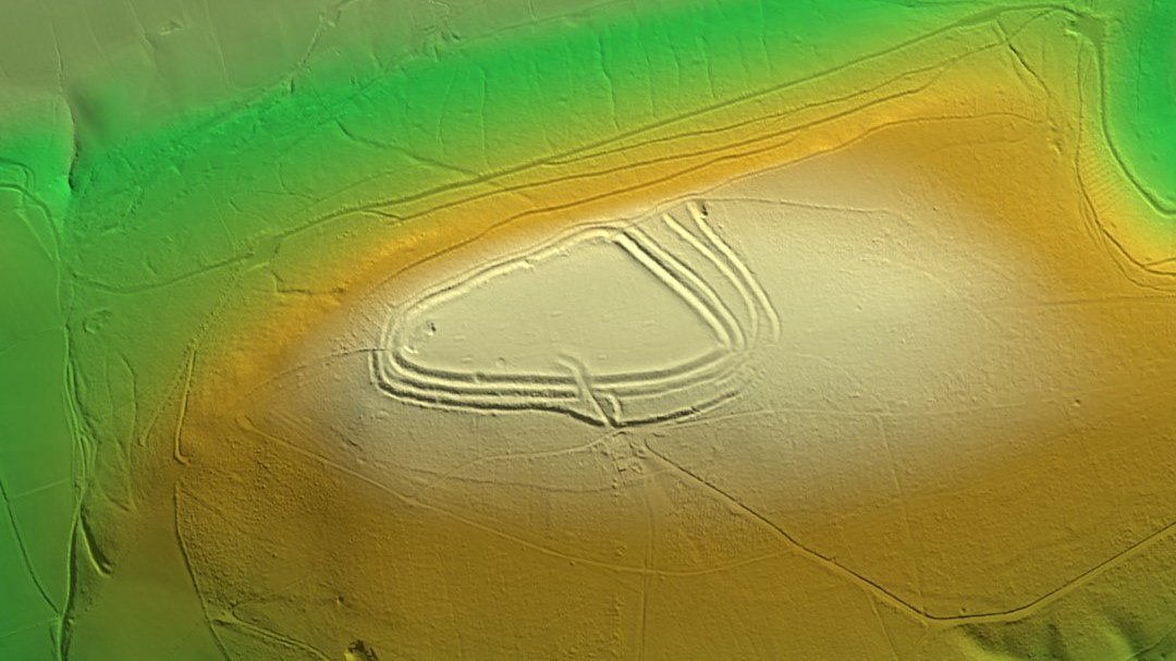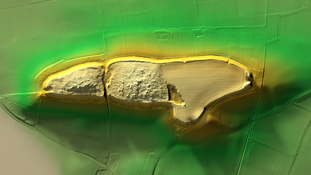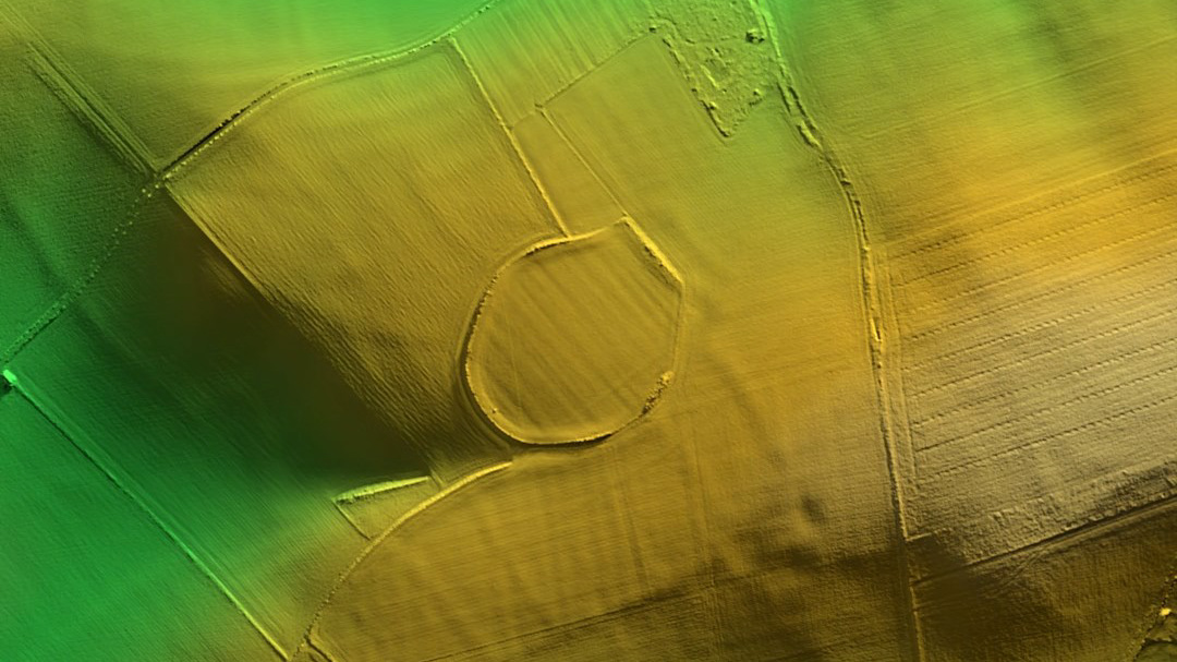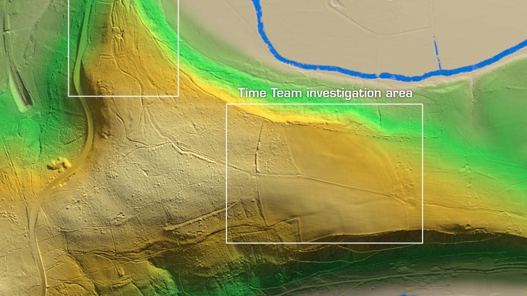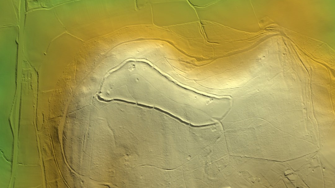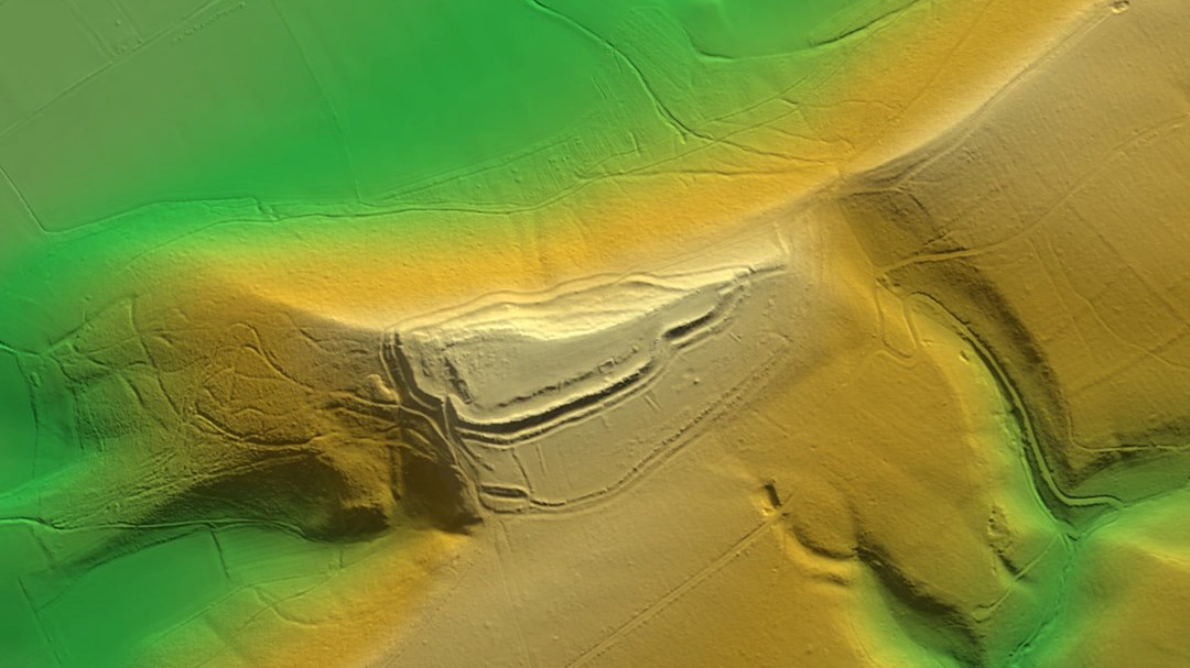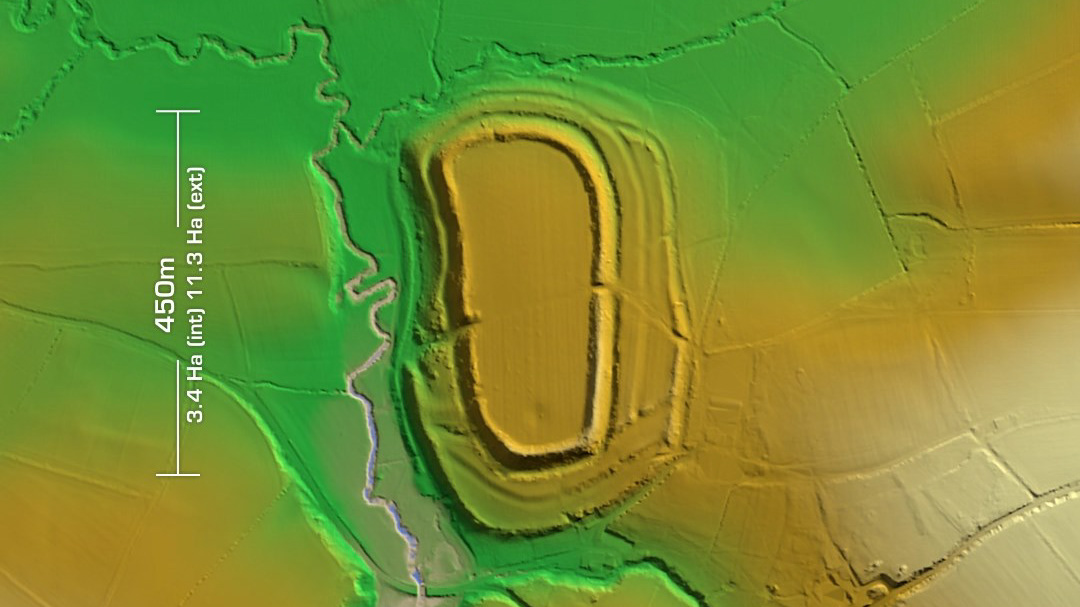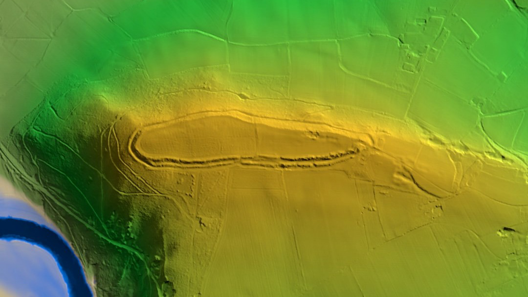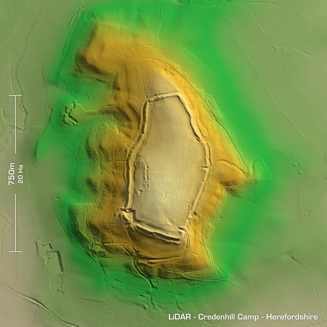
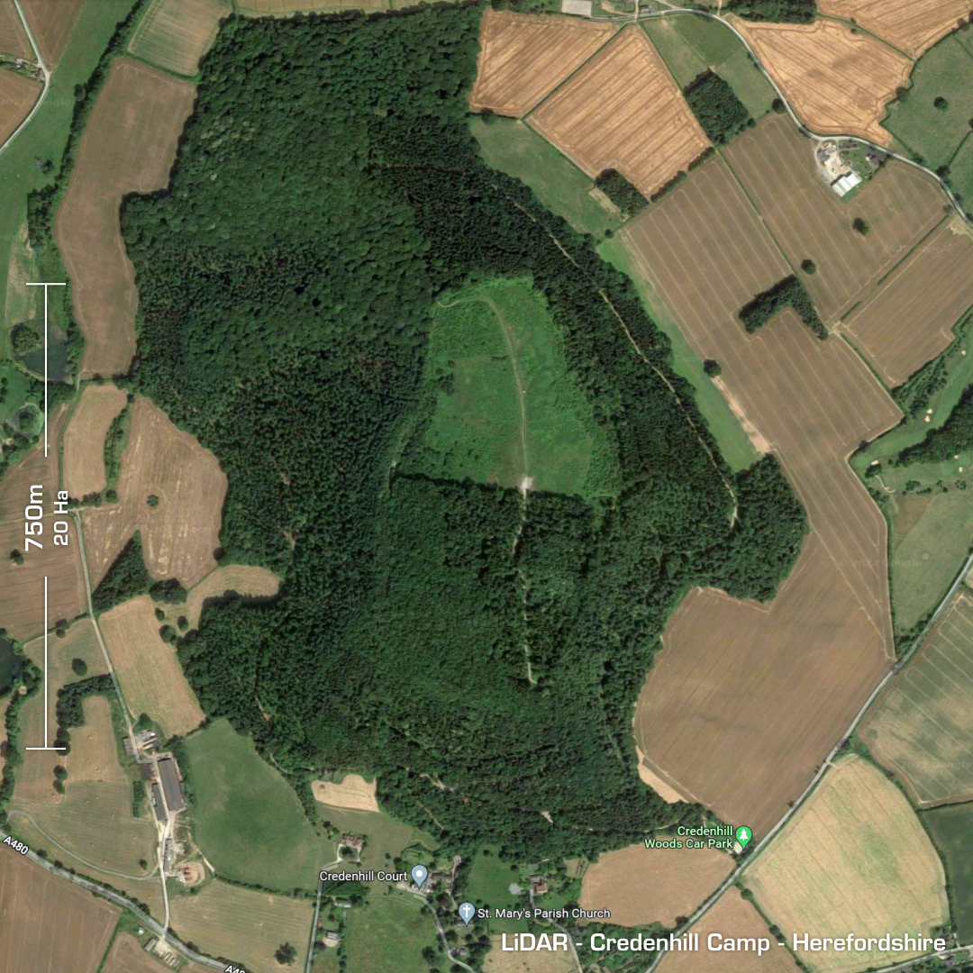
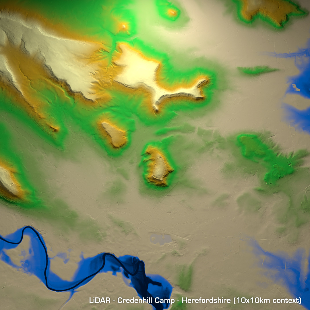

DTM- (Digital Terrain Model, i.e. No buildings or foliage) Just to the north of Credenhill in Herefordshire lies the largest, bivallate contour hillfort in Herefordshire, Credenhill Camp. Postulated Iron Age population circa 4000 as well as the capital of the region. Construction circa 390BC ending in 60AD during the Roman occupation. Bronze Age to Romano-British age finds. Subsequent medieval agriculture. SW corner destroyed by quarrying. Site heavily wooded. (Scheduled monument)