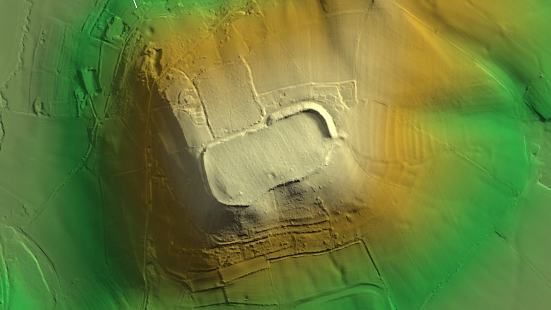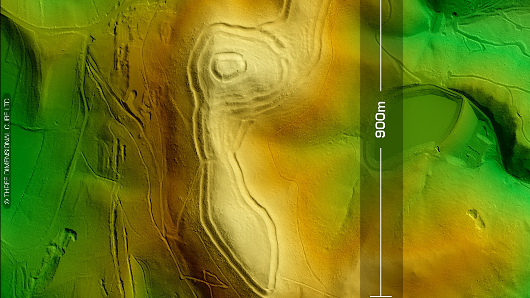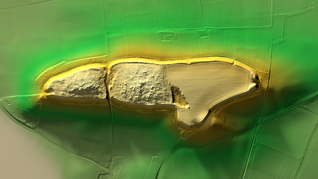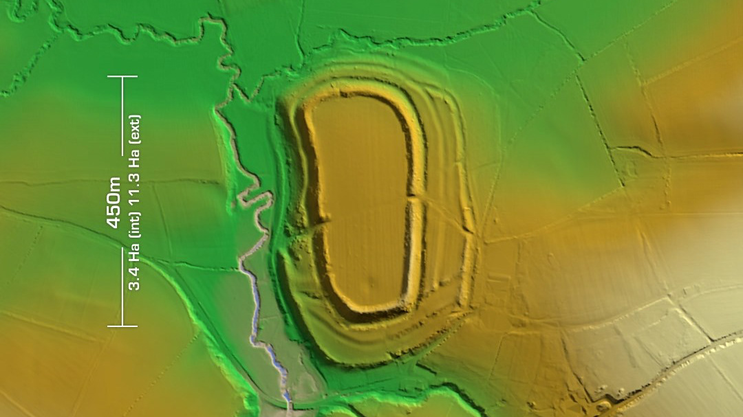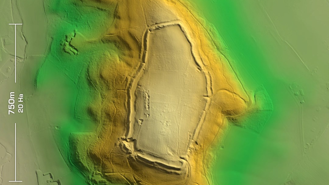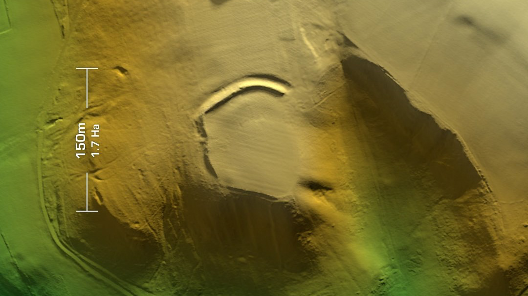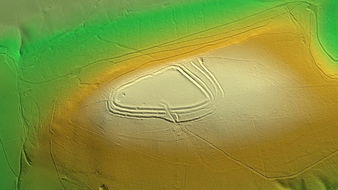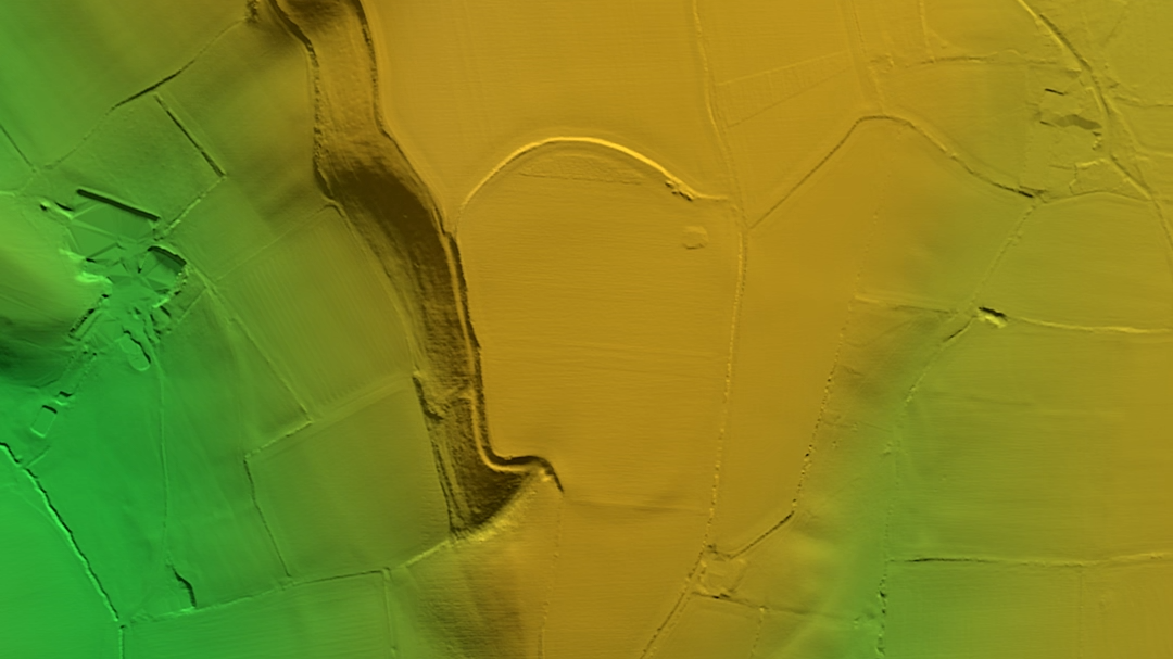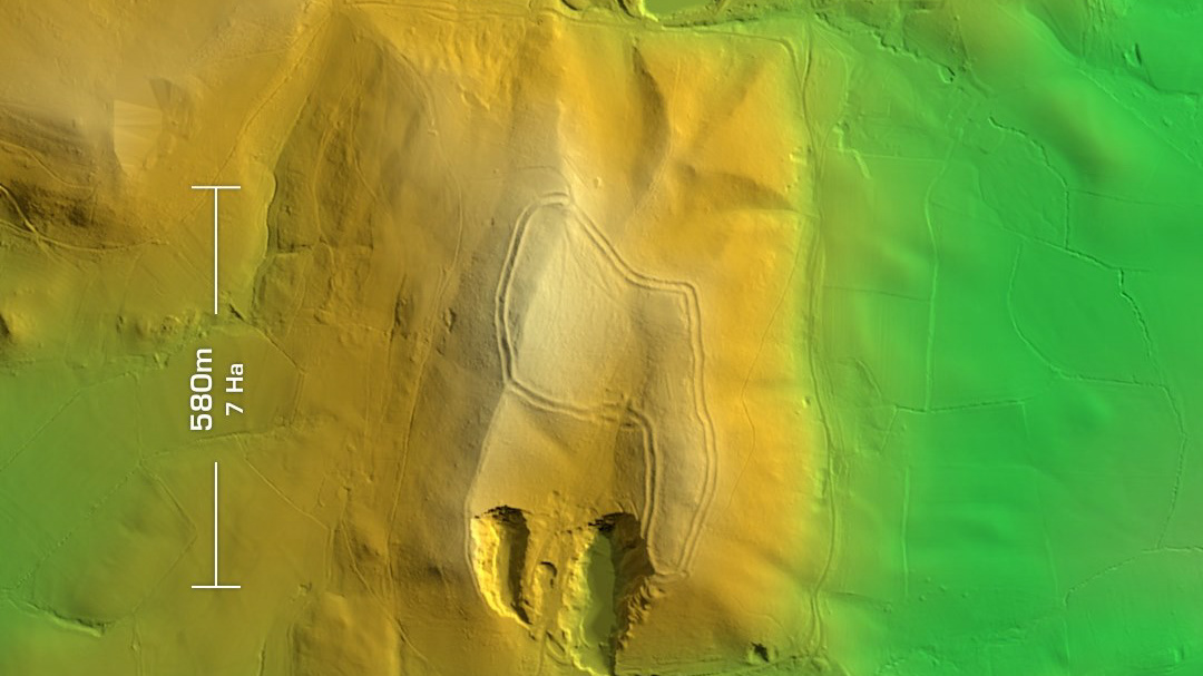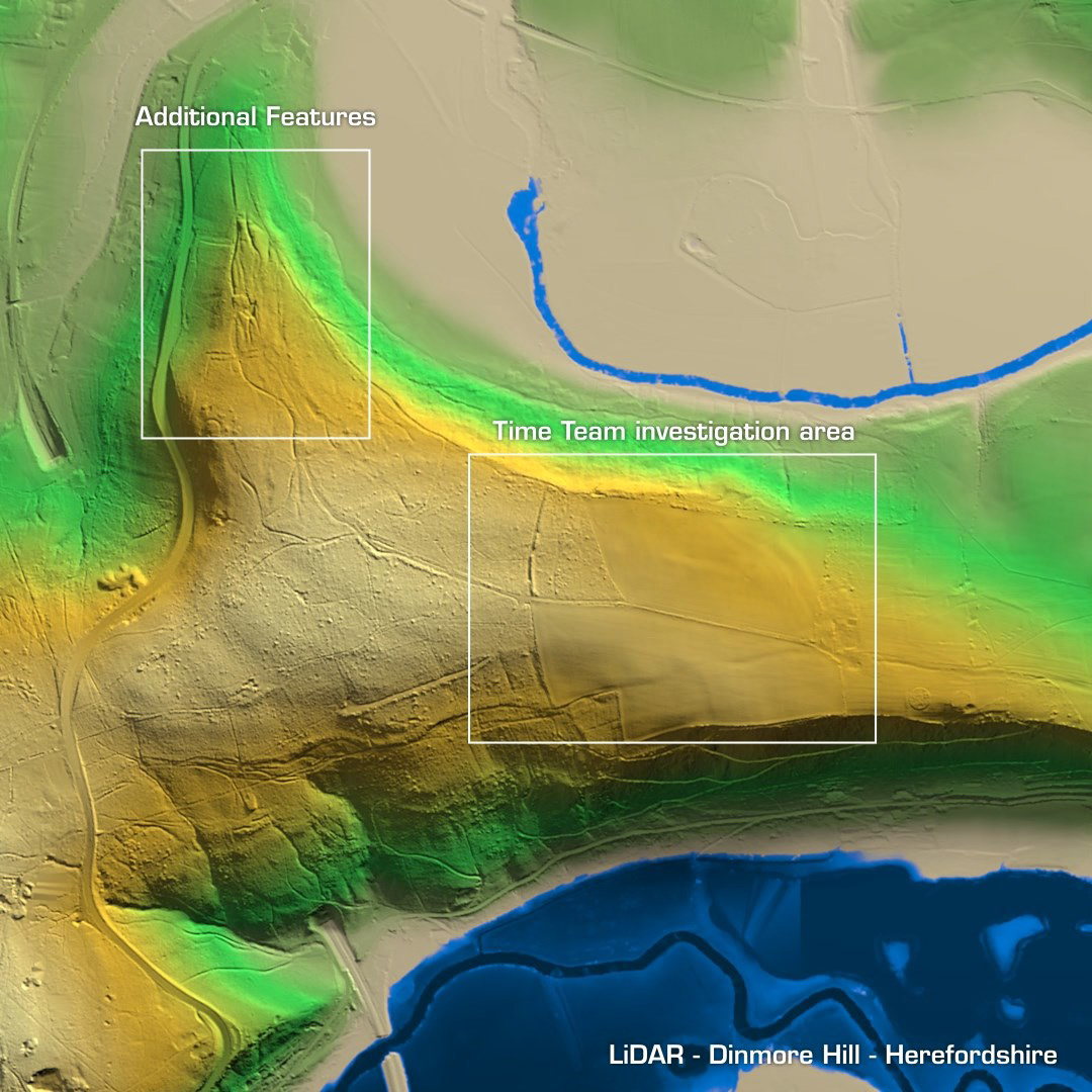
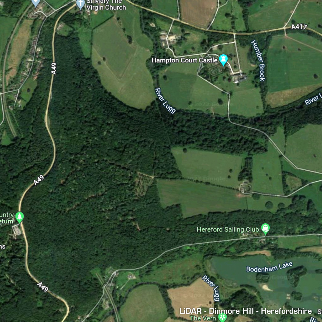
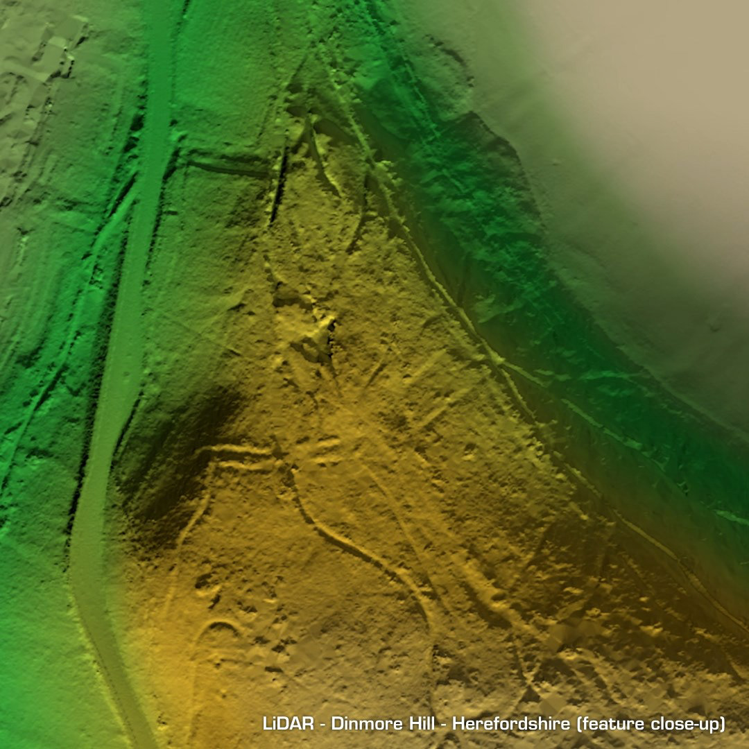
DTM- (Digital Terrain Model, i.e. No buildings or foliage) Situated just below Hampton Court Castle in Herefordshire lies the Time Team investigated (2009) hillfort, Dinmore Hill. It has now been posted on YouTube and is worth a watch! As indicated on the animation the main area shows heavily degraded ramparts on the right which were first picked out on an ariel photo only a few years before the documentary. The north-south embankment on the left has been chopped in half and would have continued all the way down. I noticed a double embankment across the promontory to the northwest which is why I made a closer animation. This feature hasn’t been mentioned anywhere I can find. Mind you, it could be just the geology of the promontory… (Scheduled monument)