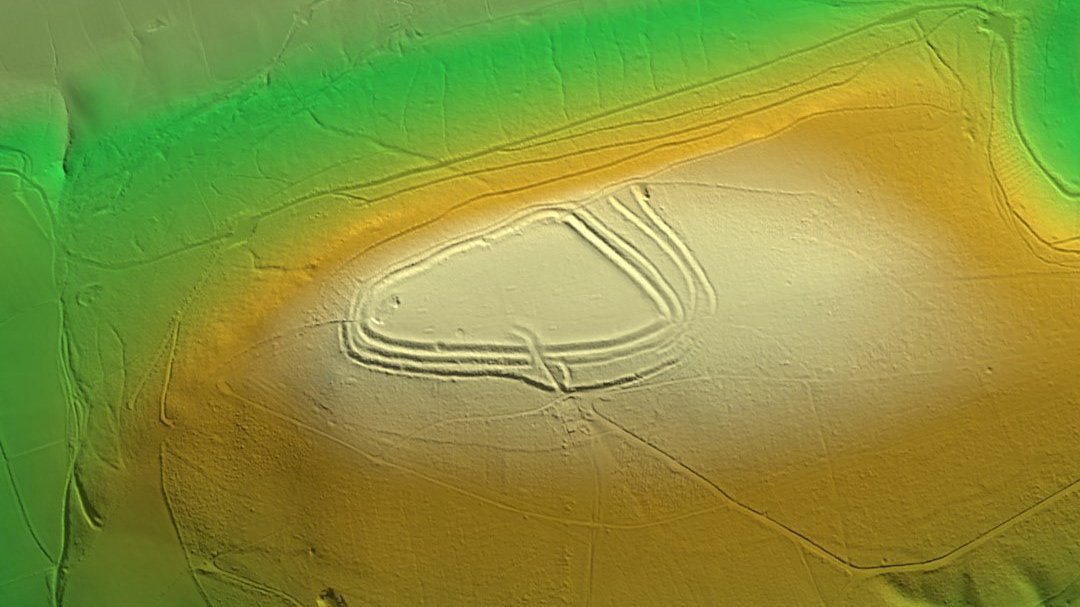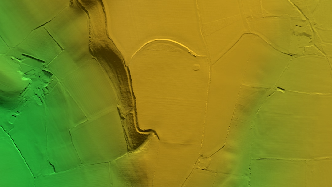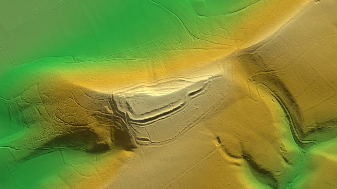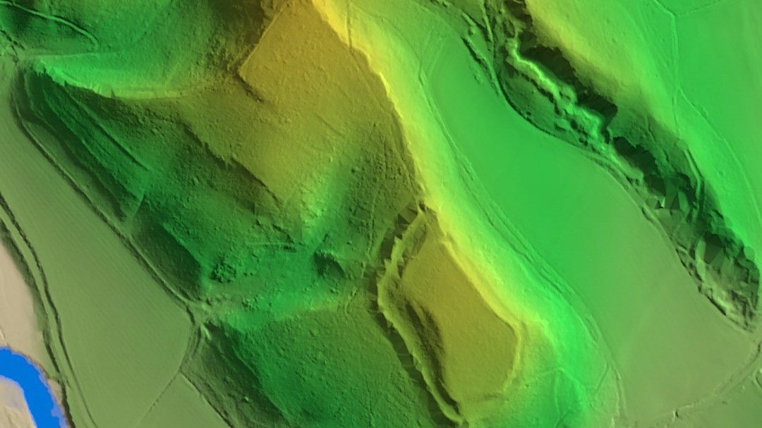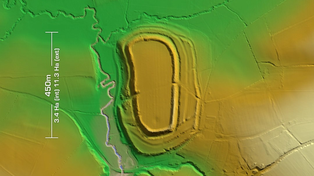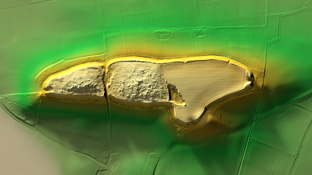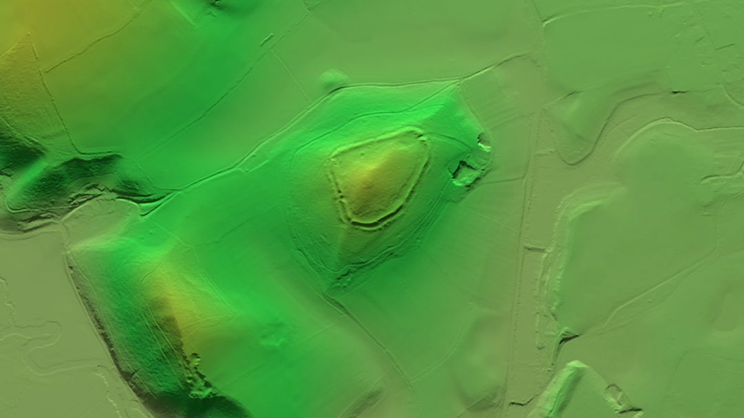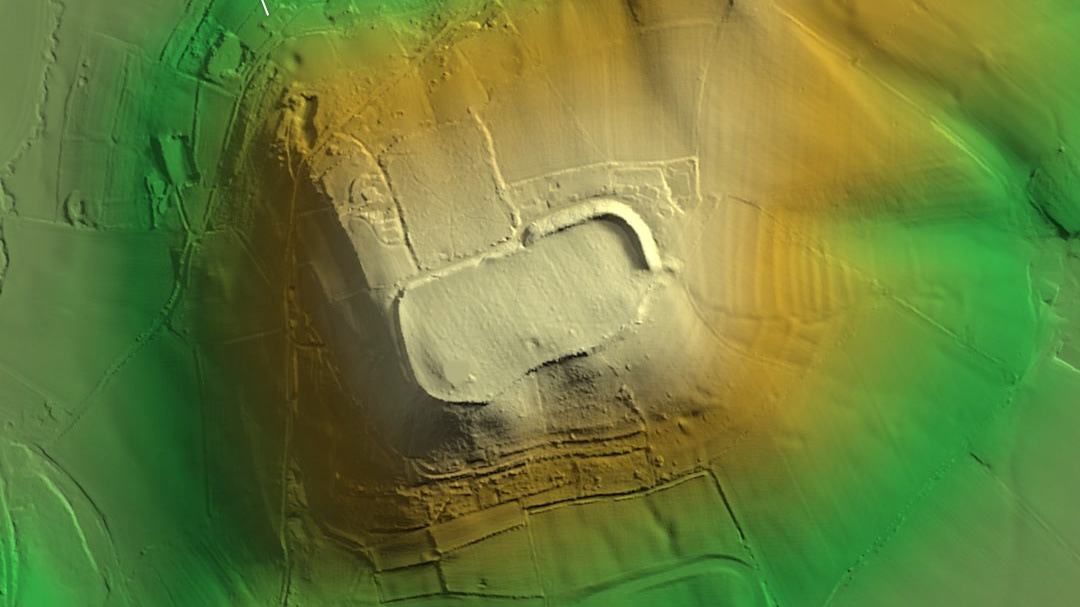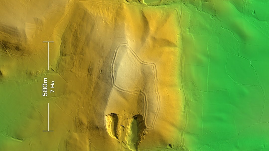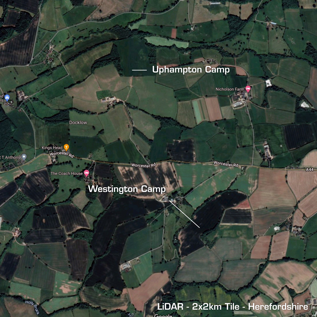
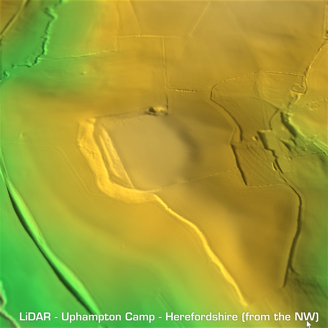
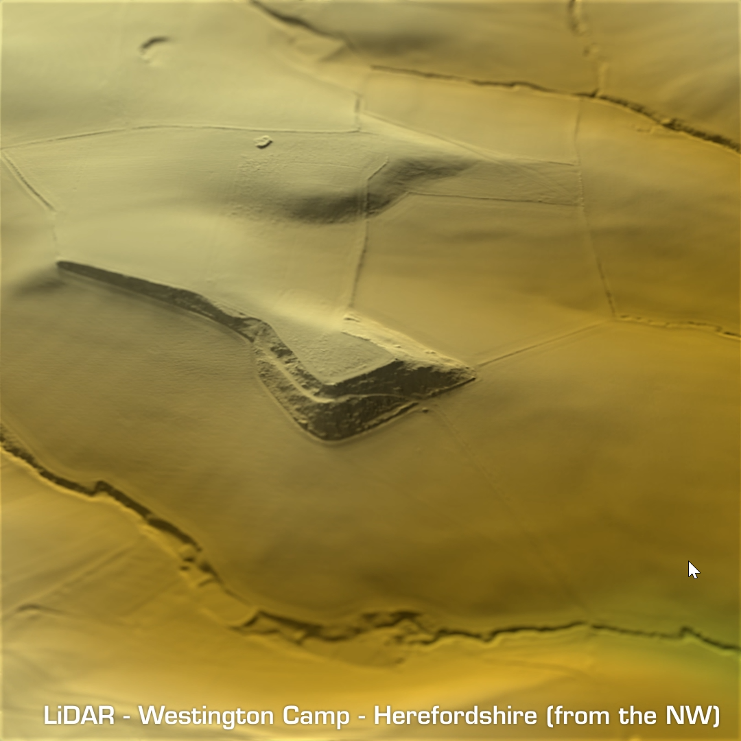
DTM- (Digital Terrain Model, i.e. No buildings or foliage) On the same LiDAR tile set as Risbury Camp I noticed two sites that weren’t on my list. Both lie a few km to the northeast of Risbury: Uphampton Camp: Virtually destroyed site degraded by centuries of ploughing. Contested hillfort but as it’s unexcavated it’s also undated. Westington Camp: You could argue this is a more obvious hillfort to Uphampton but it has been seriously degraded by ploughing too. No finds as of yet and as its unexcavated its also undated. I thought I’d render these as oblique views and post here anyhow, even though they aren’t impressive. (Scheduled monuments)