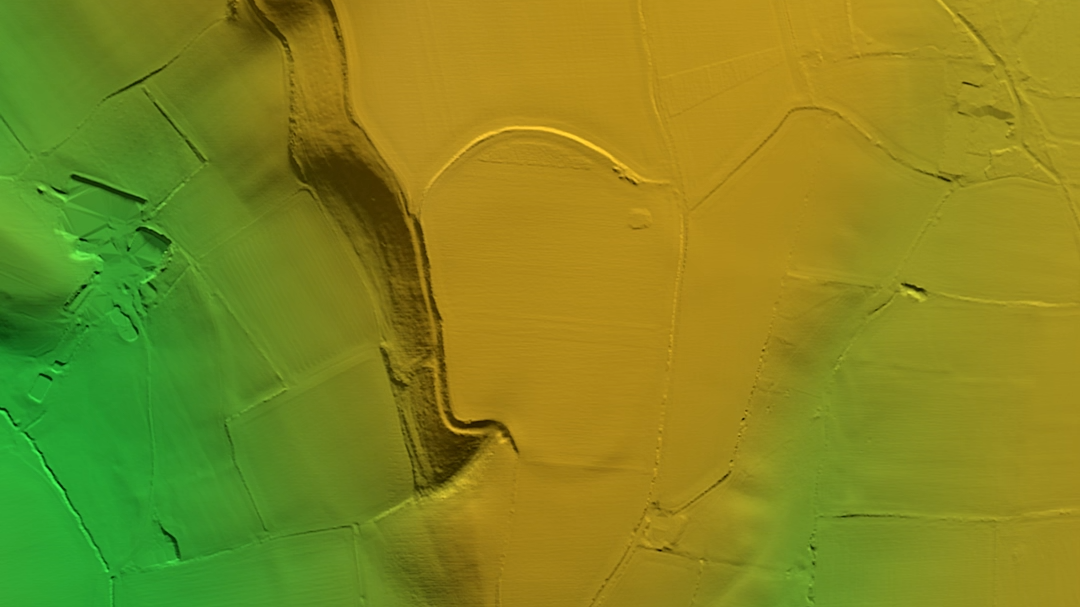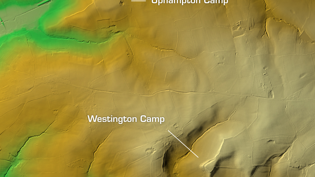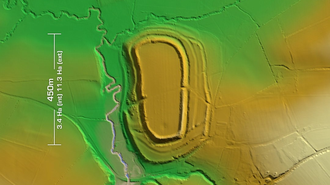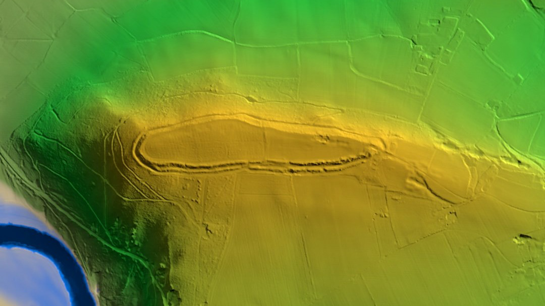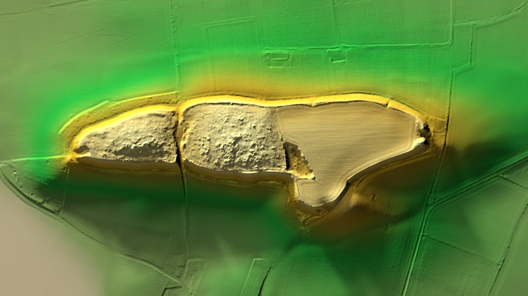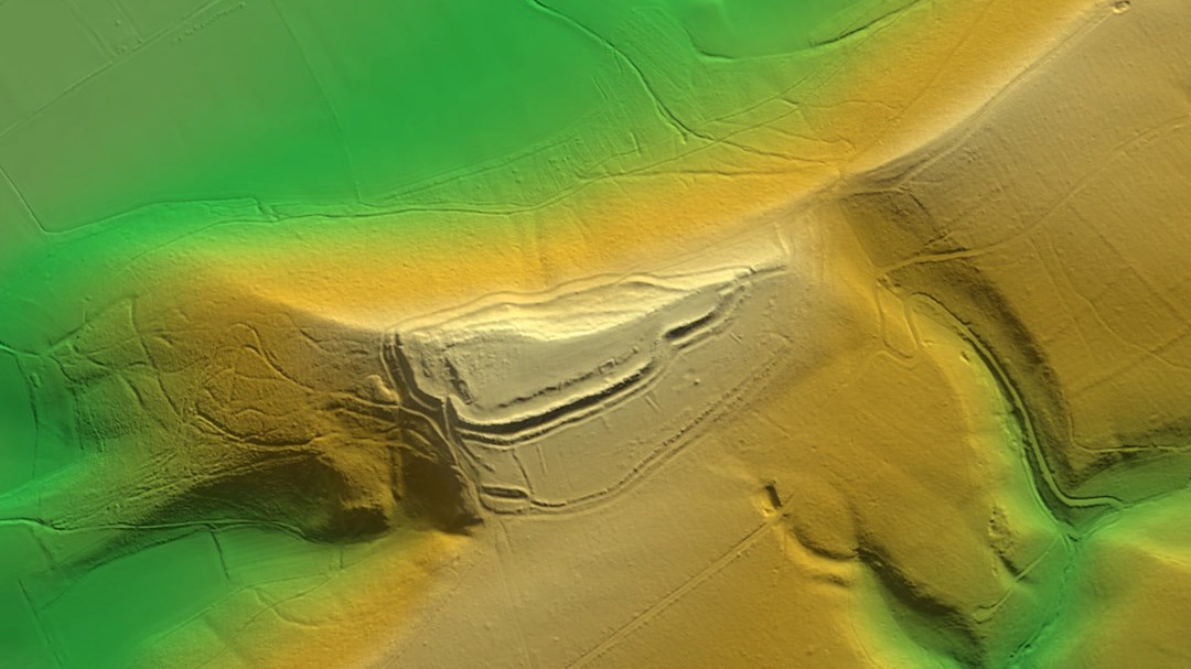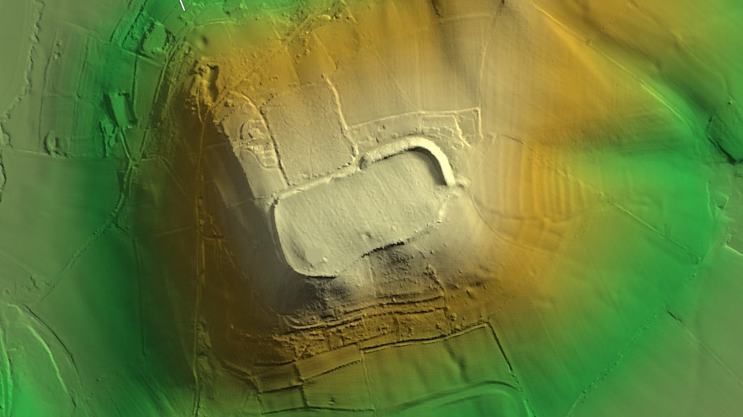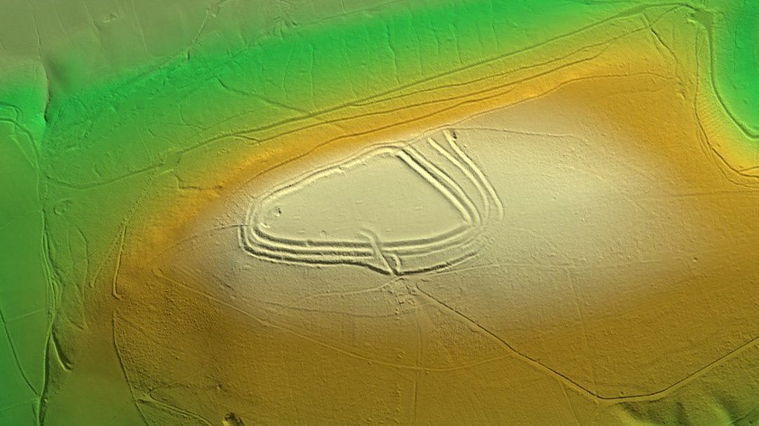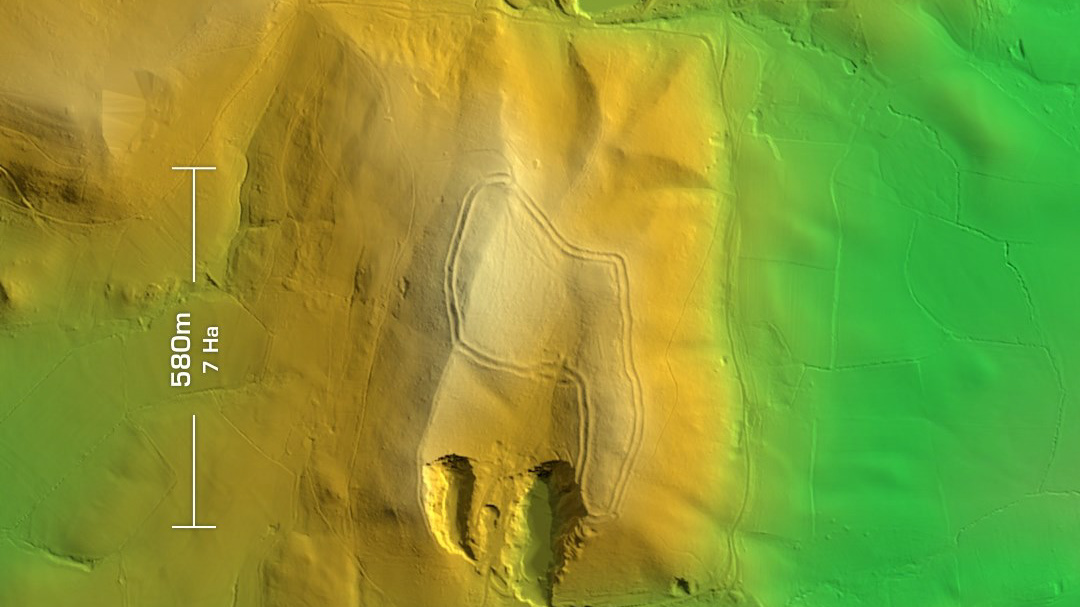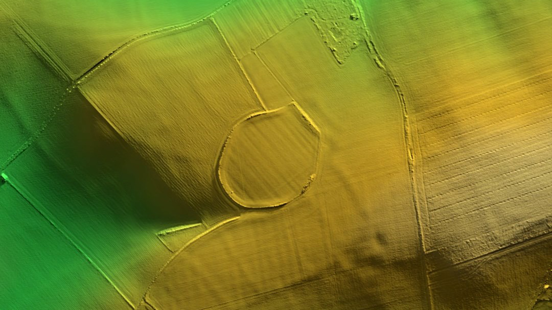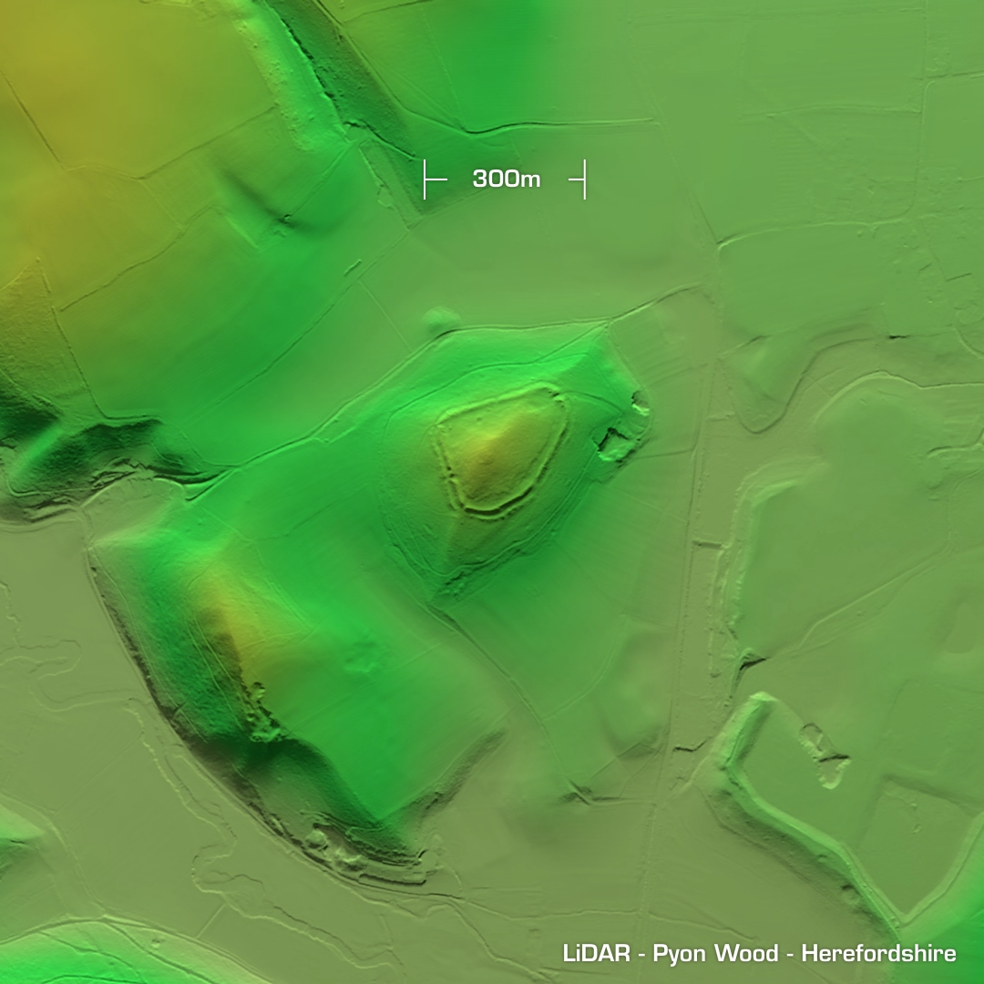


DTM- (Digital Terrain Model, i.e. No buildings or foliage) Straddling a diagonal line across the hilltops just above Aymestry, Herefordshire lies three hillforts: Croft Ambrey, Pyon Wood and Mere Hill. This post covers Pyon Wood and Mere Hill. To the west of Croft Ambrey lies Pyon Wood, a smaller contour hillfort now heavily wooded, probably hence the name… ‘Timber operations’ have degraded the site over the years resulting in the loss of some of its ramparts. Unexcavated, hence undated. West of Pyon Wood is the Mere Hill site. This univallate D shaped fort was first recorded only 23 years ago. Current geophys & three trenches found no sign of occupation or finds. I only generated an oblique render as the overhead version looked pony as the site is so degraded. (Scheduled monument)