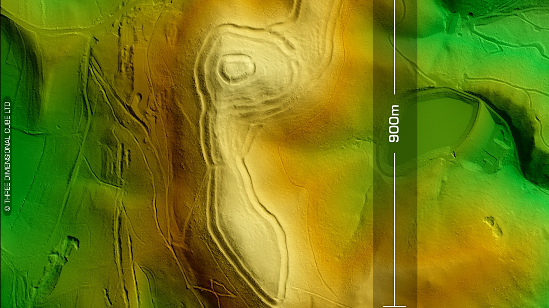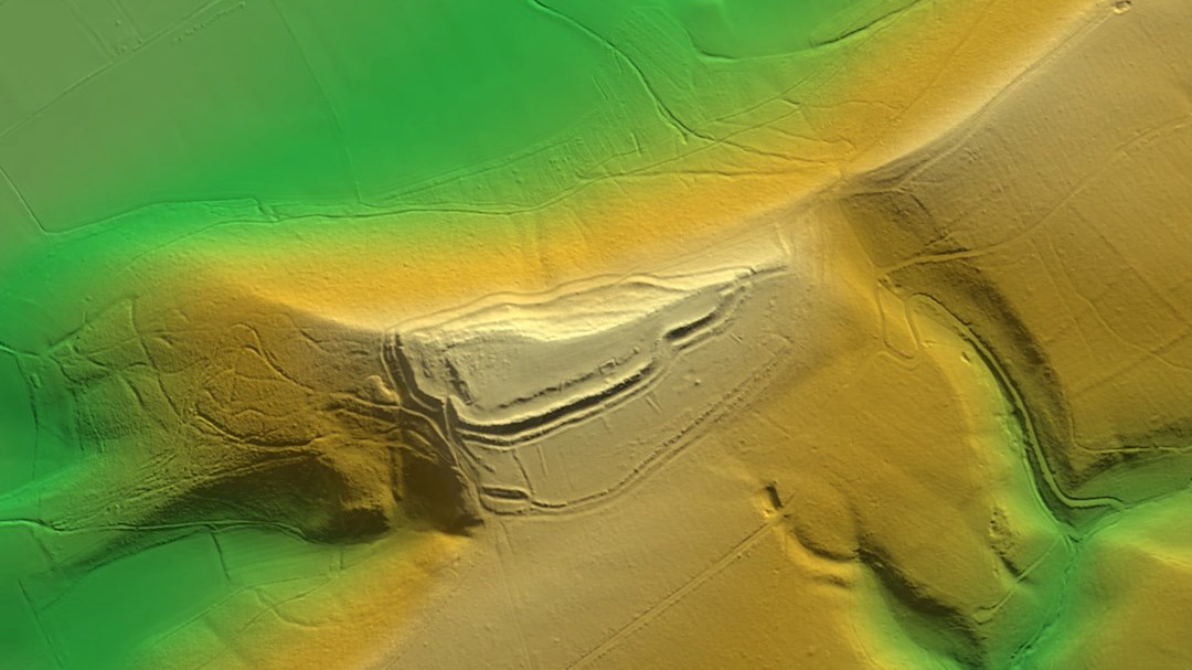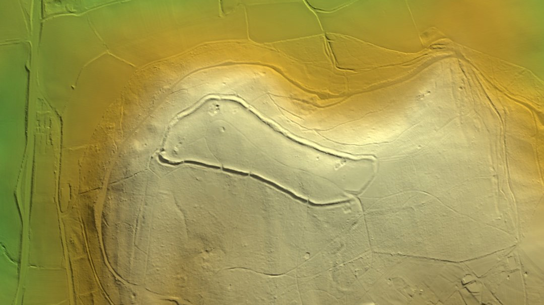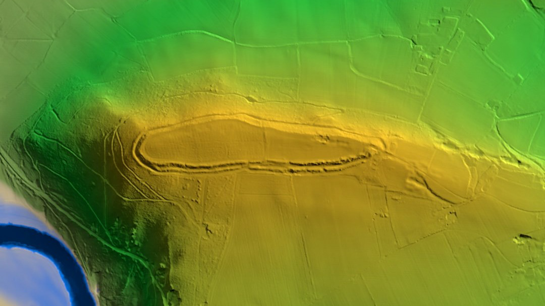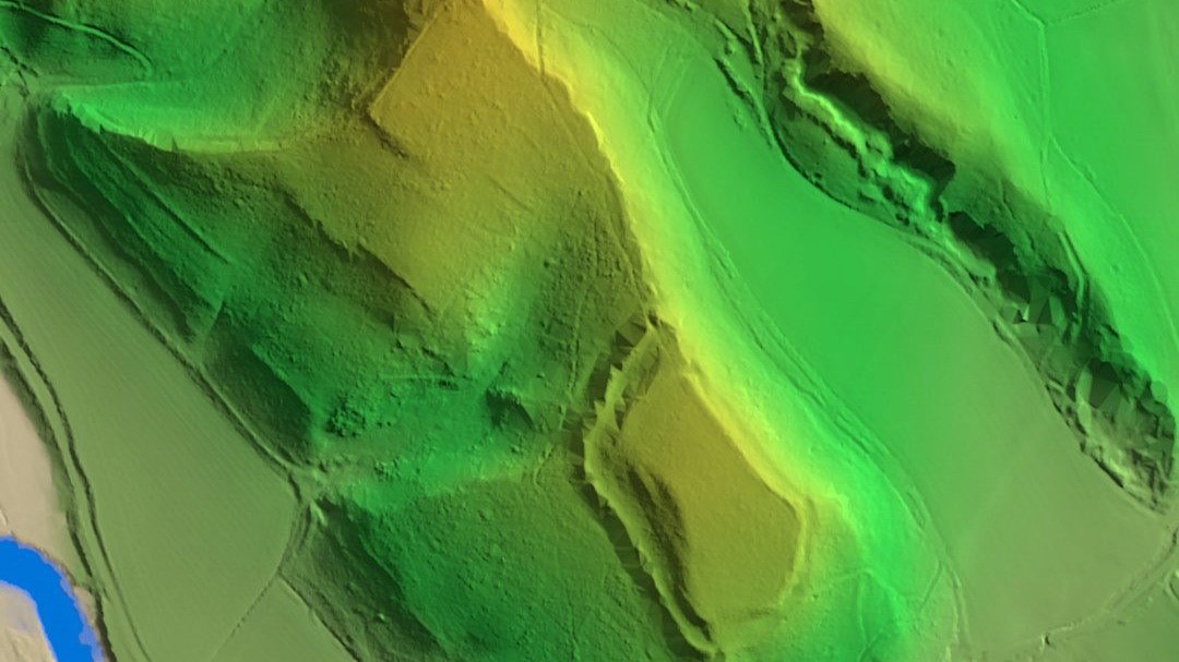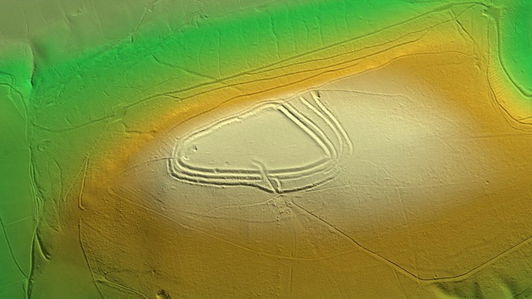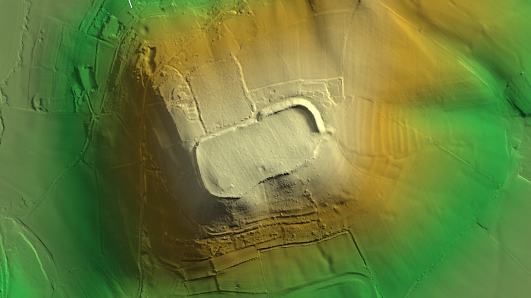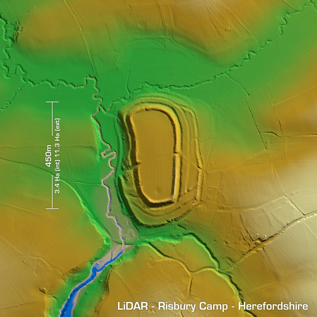
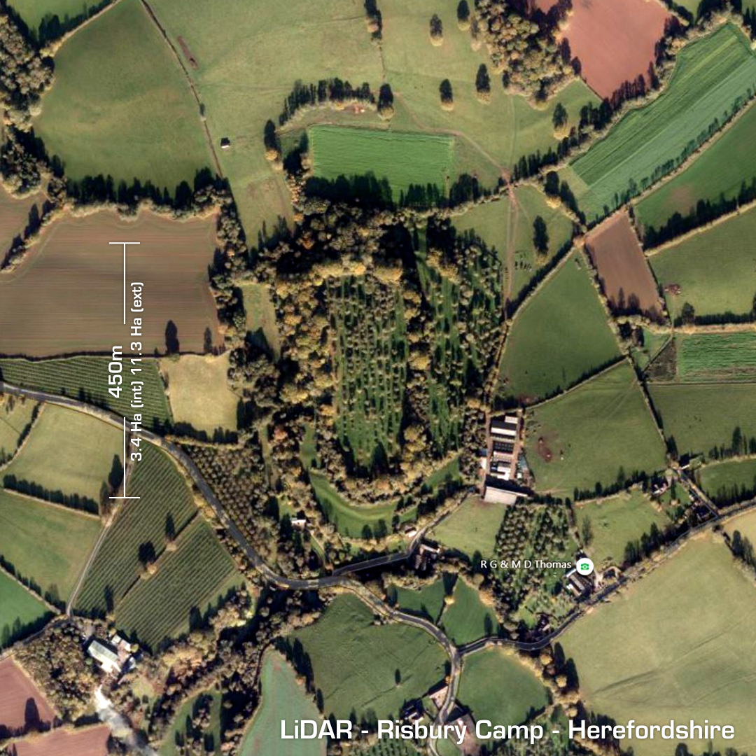
DTM- (Digital Terrain Model, i.e. No buildings or foliage) To the east of the small village of Risbury, Herefordshire is the impressive multivallate contour hillfort, Risbury Camp. Considering the size of the site there have been no excavations or Geophys surveys. The only recorded finds are Roman pottery. Now an orchard as you can see on the weirdly lit Bing Map (Google Maps had a chuffing great cloud over the site). (Scheduled monument)