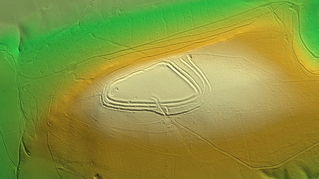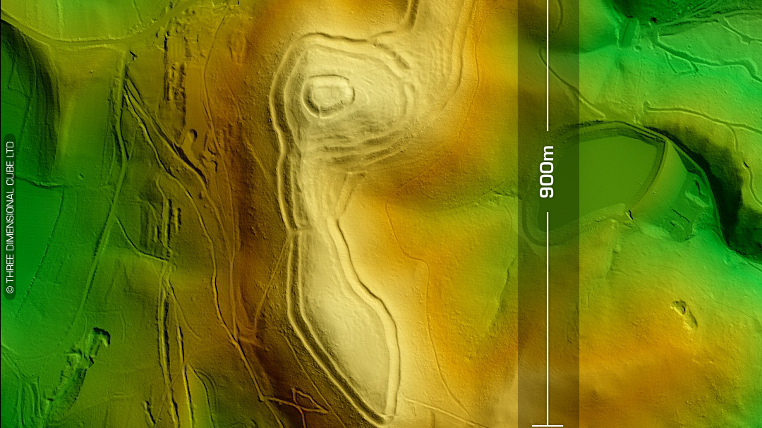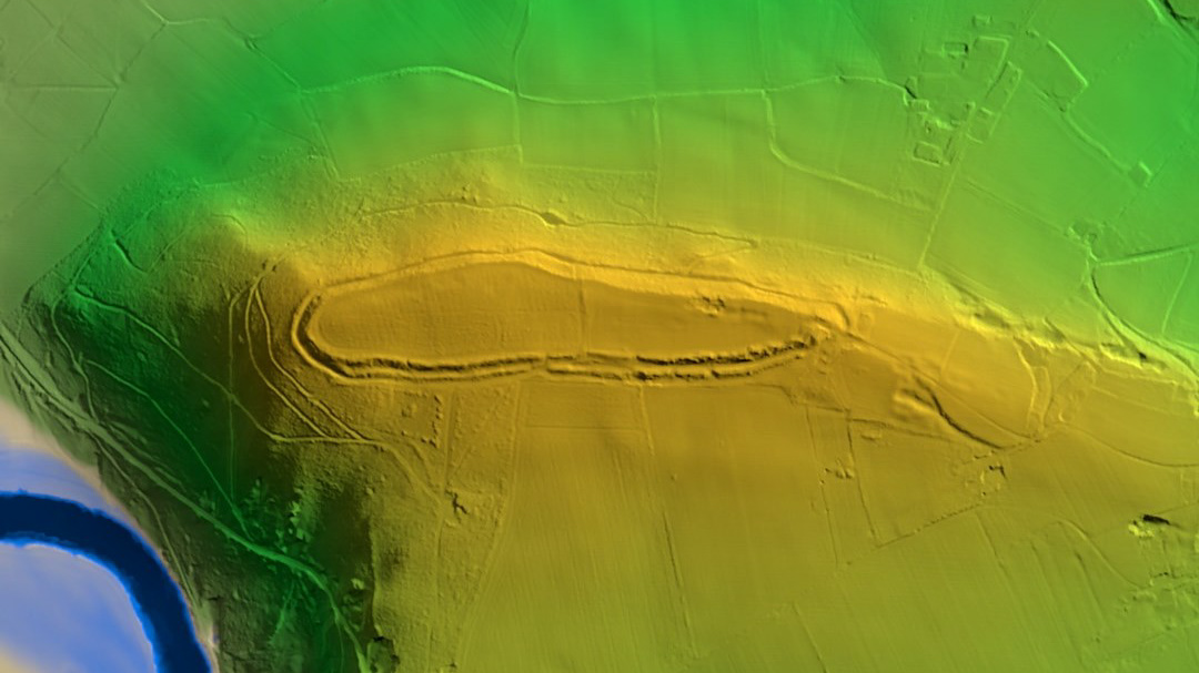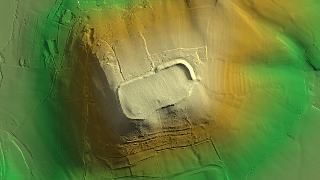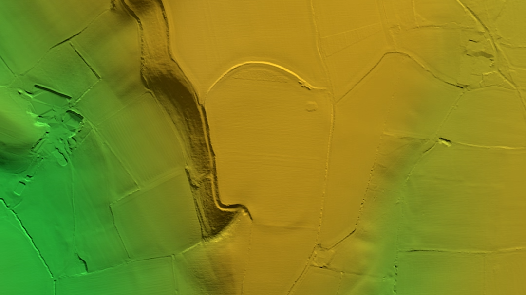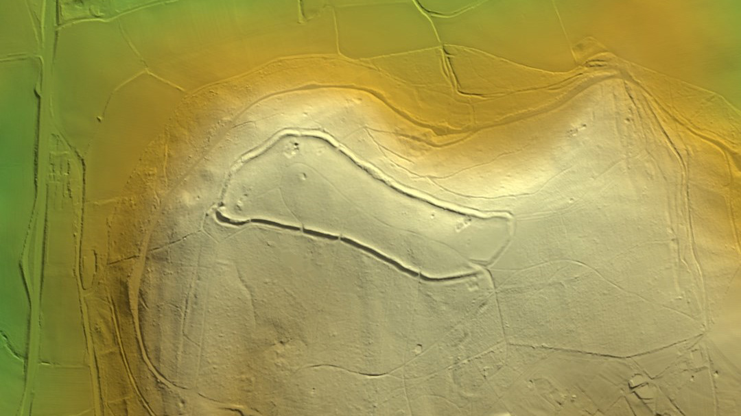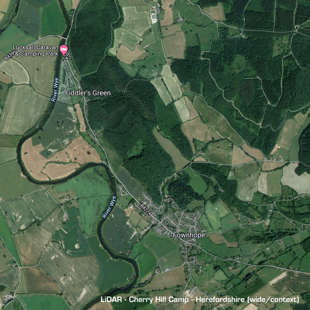
DTM- (Digital Terrain Model, i.e. No buildings or foliage) Just above Fownhope in Herefordshire lies this multivallate contour iron age hillfort. This site is undated due to heavy woodland, probably with protected trees, limiting any proper excavation. Additional possible ramparts lie on the north peak past the thin ridge joining them. This peak also shows evidence of Medieval cropmarks (overlapping squares) on its southern side. (Scheduled monument)