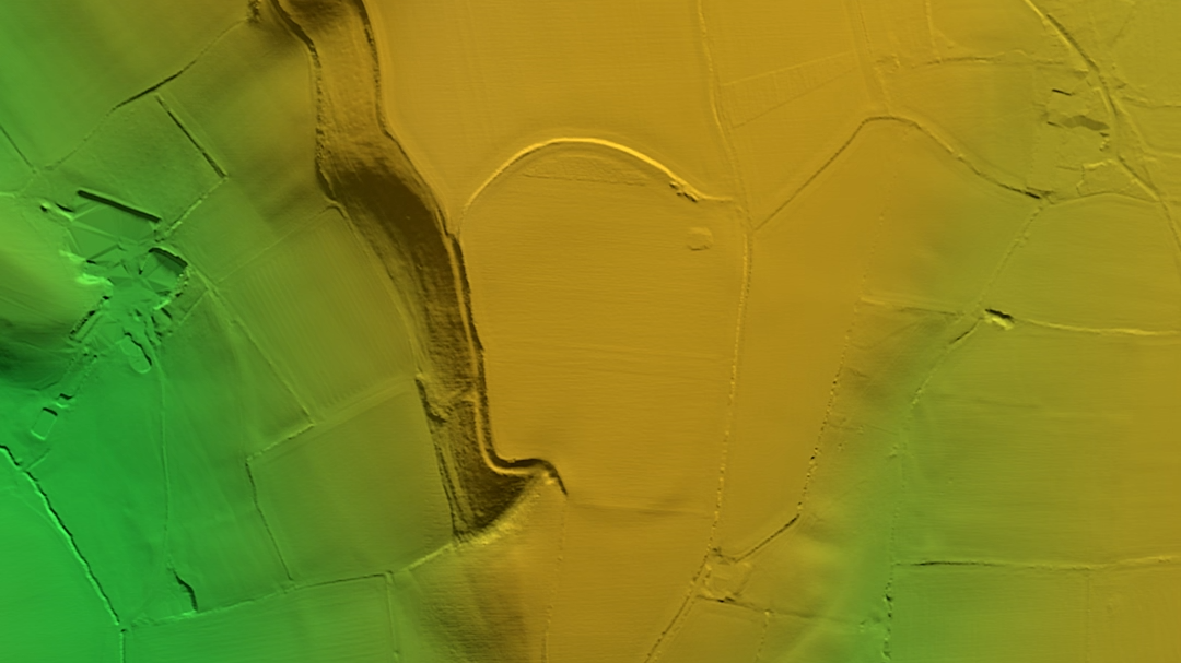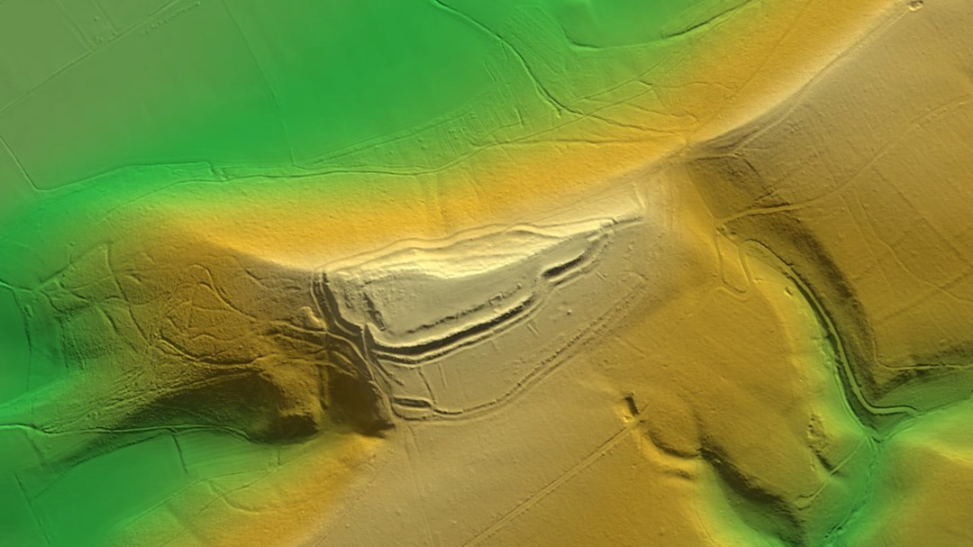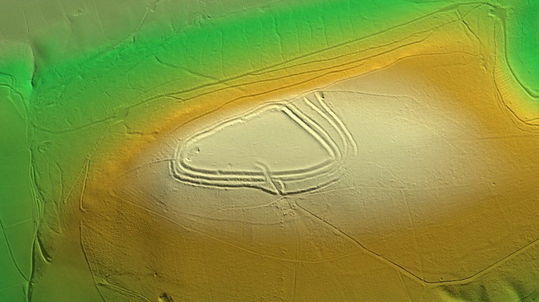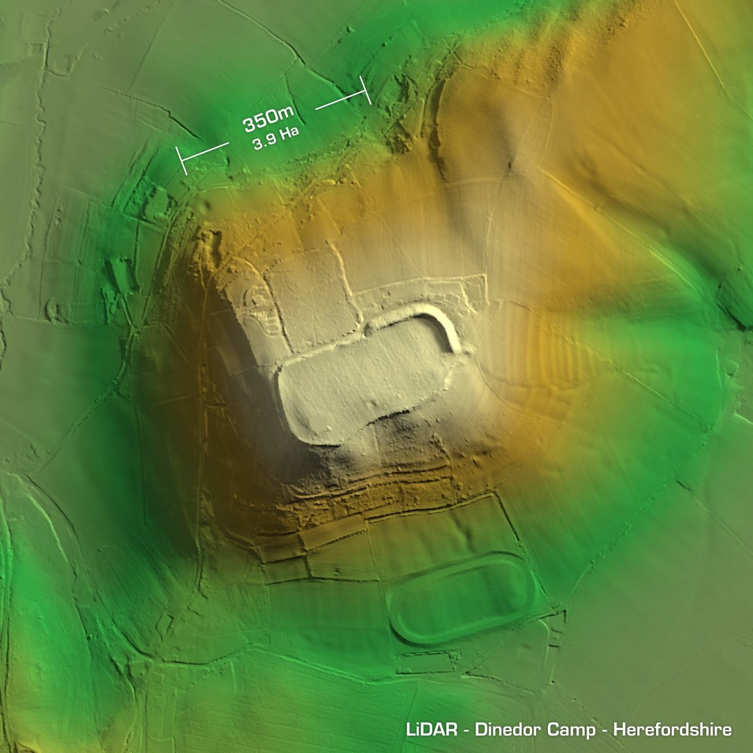
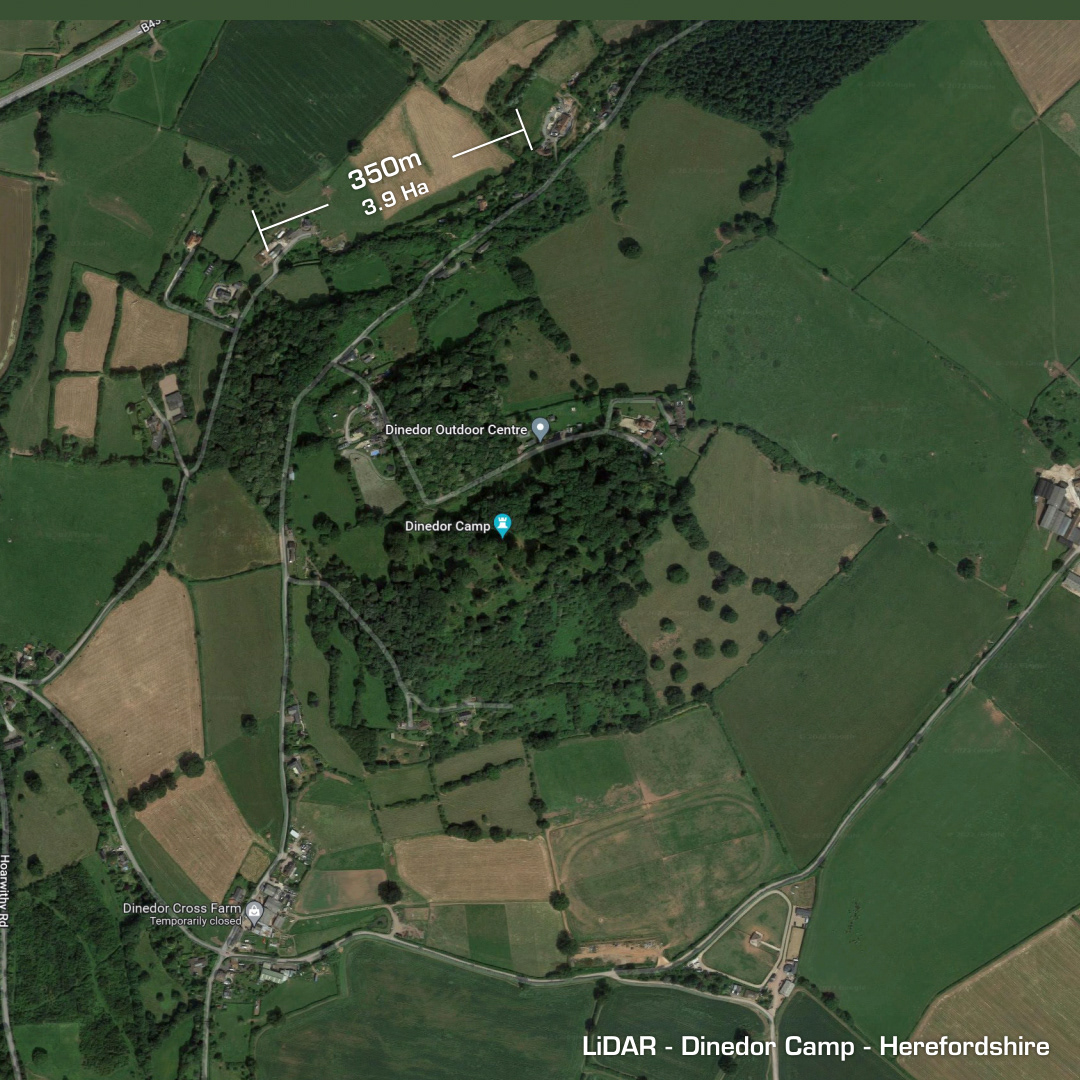
DTM- (Digital Terrain Model, i.e. No buildings or foliage) Lying just to the southeast of Hereford is the Lord of the Rings sounding oval contour hillfort, Dinedor Camp. Finds include a Neolithic Axe, Iron Age & Roman (AD 68-69) pottery & coins. Possible re-occupation in 1645 by Scottish troops as part of the Siege of Hereford, a Royalist stronghold. Now heavily wooded the camp is looked after by the Dinedor Outdoor Centre, a bit like an American Summer Camp. I don’t know what the oval feature is below the site but on Google Maps & Street View it‘s on quite a steep gradient so could be a quad-bike track or something… (Scheduled monument)