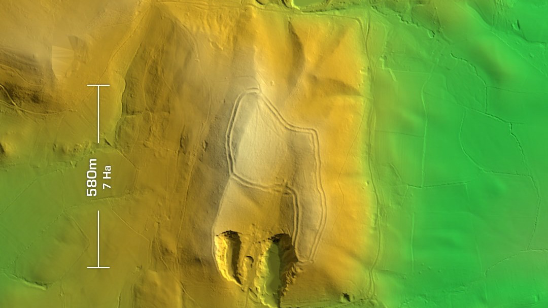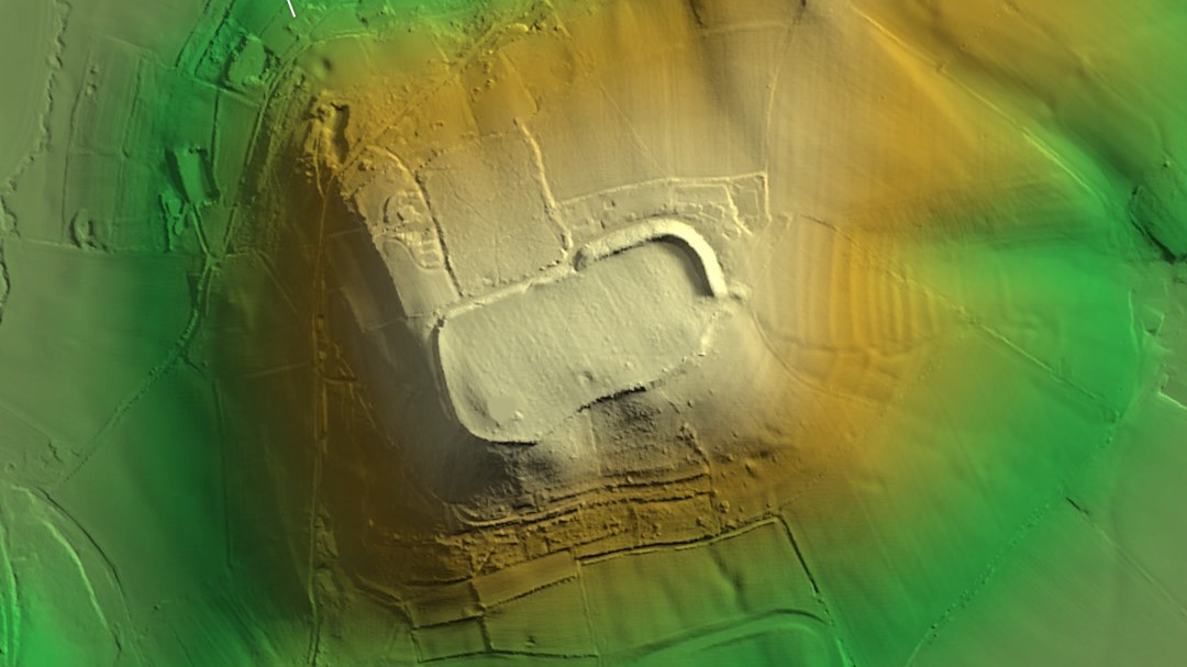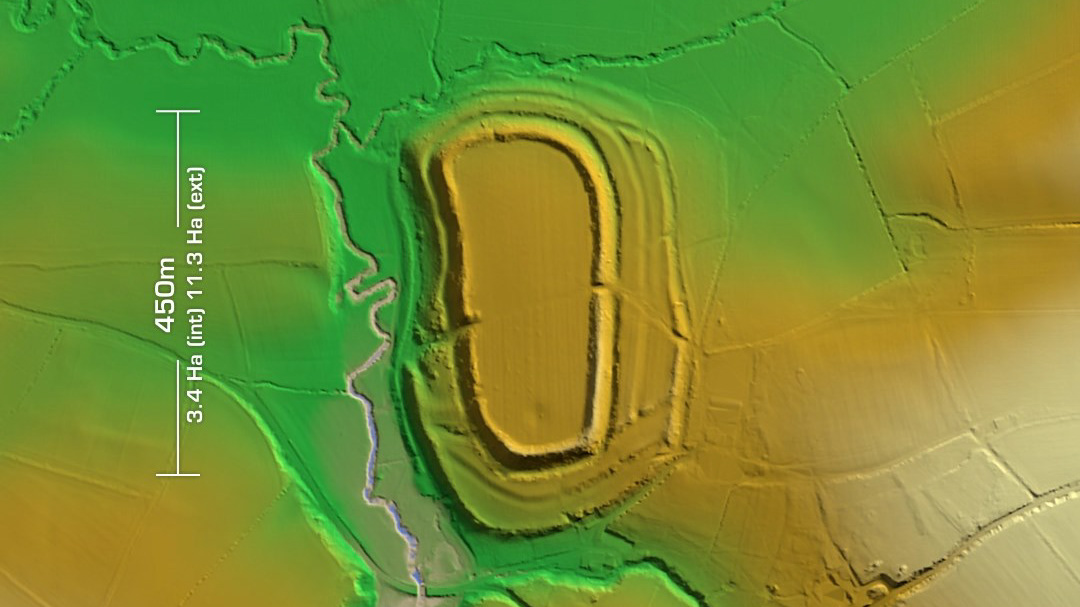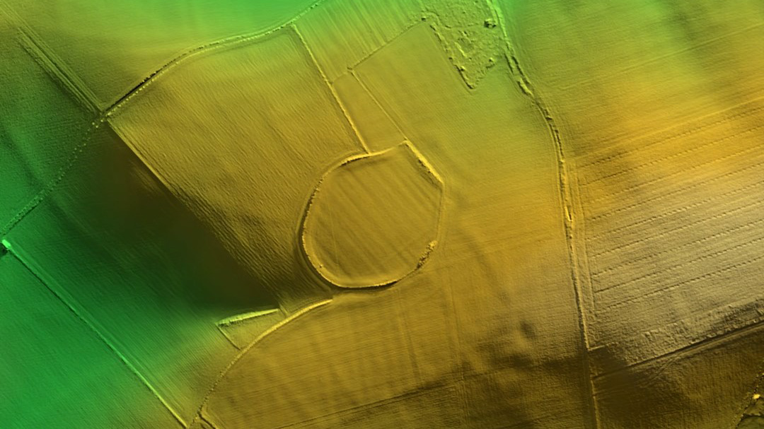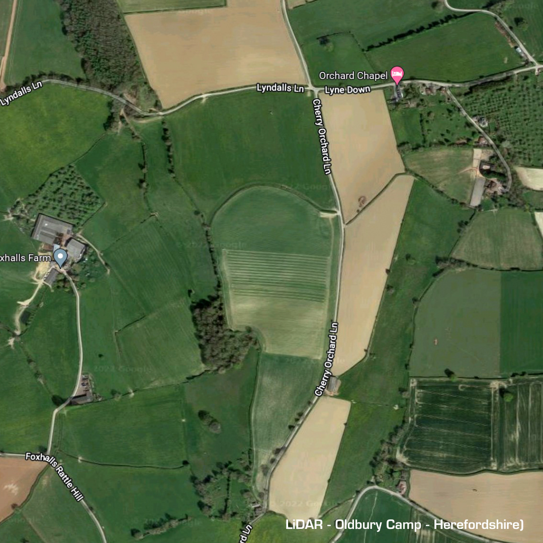
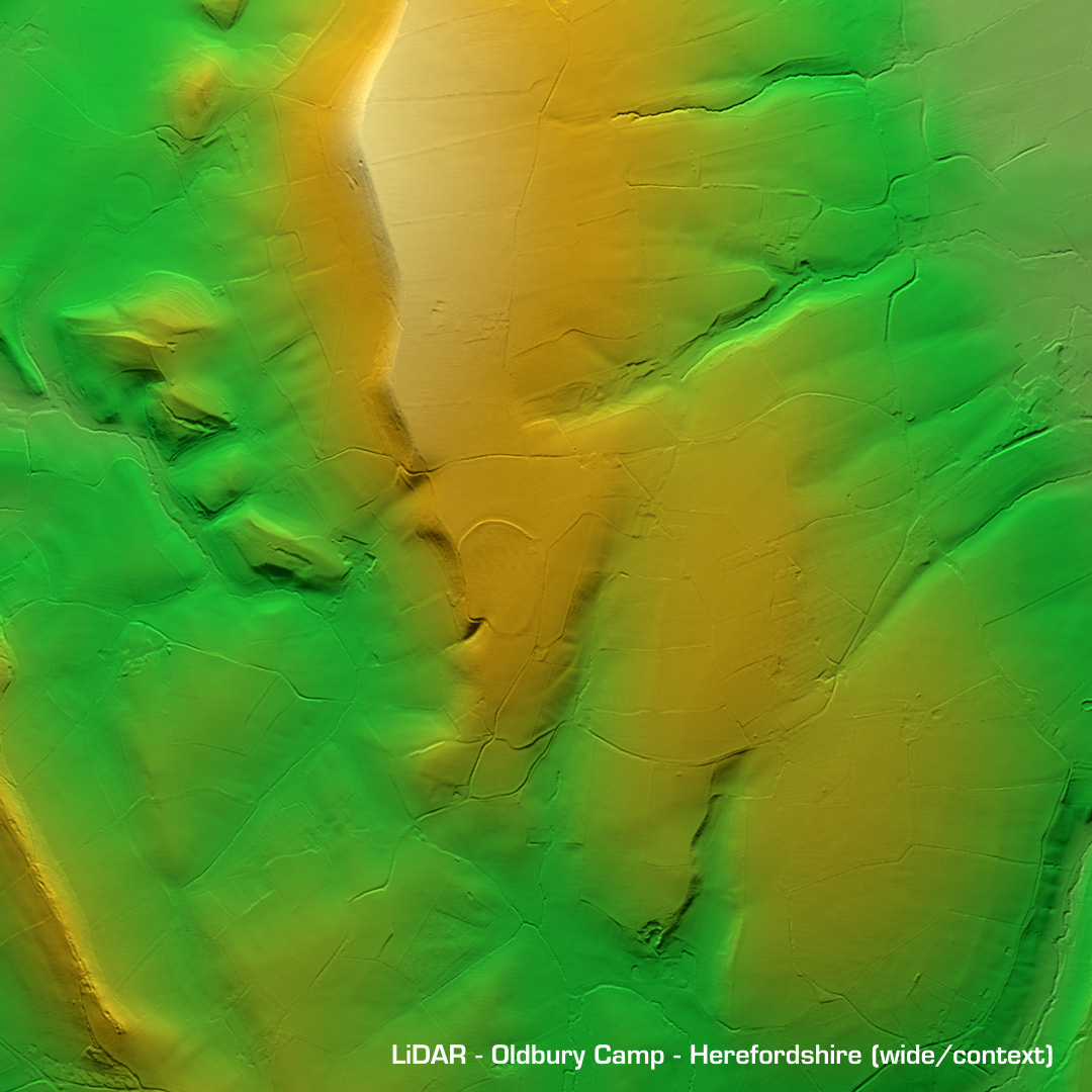
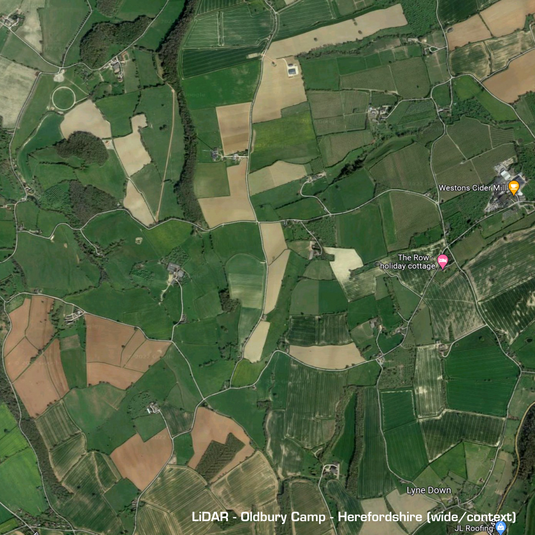
DTM- (Digital Terrain Model, i.e. No buildings or foliage) Sitting between Peartree Green and Much Marcle is the large oval contour hillfort, Oldbury Camp. Much degraded due to ploughing, surface finds include Iron age pottery and Romano British ware. No excavations hence dating inferred by finds. (Scheduled monument)