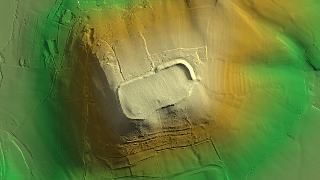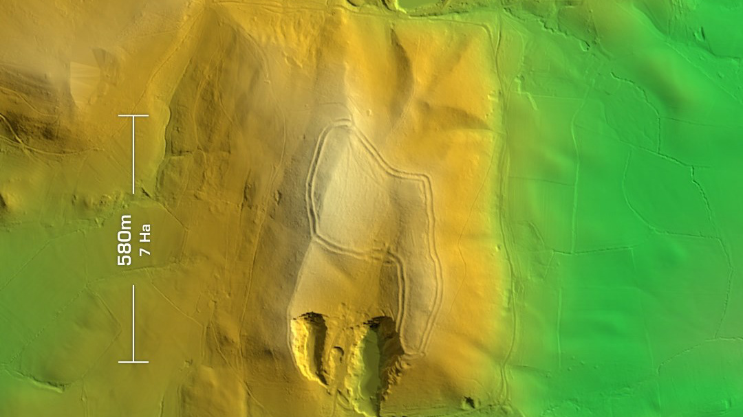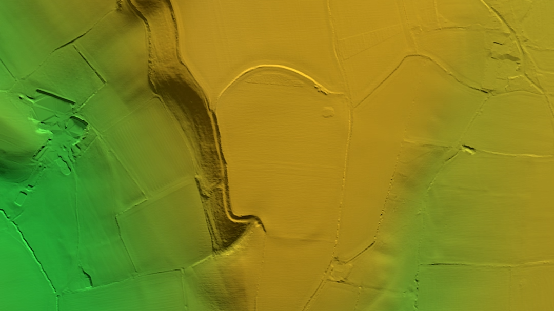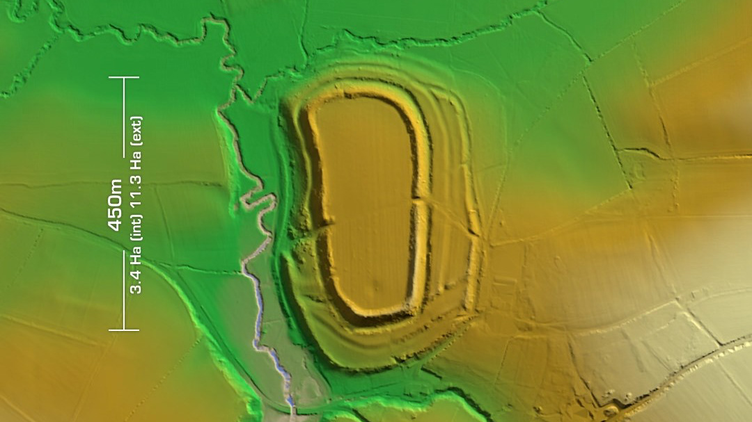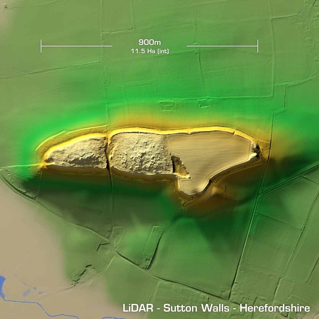

DTM- (Digital Terrain Model, i.e. No buildings or foliage) Sutton Walls is a partial contour hillfort situated to the northeast of Sutton St Nicholas in Herefordshire. Excavation results in the late 1940’s concluded initial occupation in the 1st century BC, then the forts capture by the Romans in AD 75 where the slaughter of the inhabitants was found in the discovery of many bodies (some headless) thrown and covered in the surrounding ditch. The number of Roman finds allowed a Roman occupation timeline to be established. They found that the Romans occupied the site until they abandoned Britain in the AD 400’s. Since then, a quarter of the site has been quarried since 1935 and subsequently used as a toxic waste dump until the 1980s, hence no further investigation. (Scheduled monument)