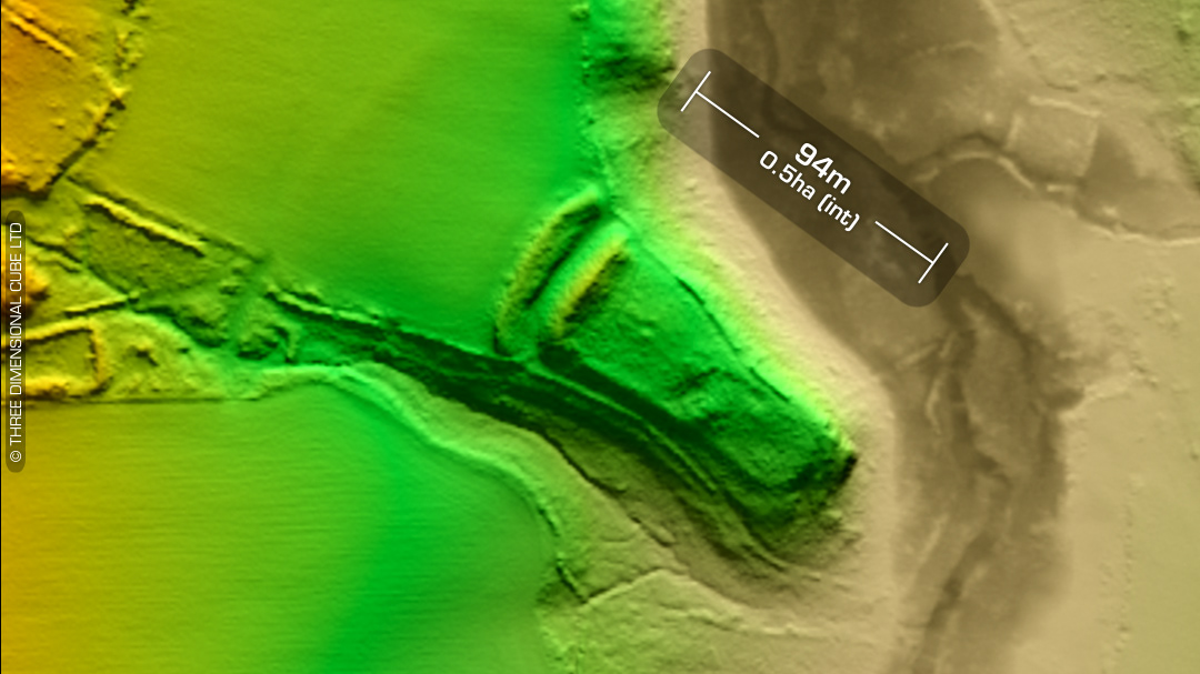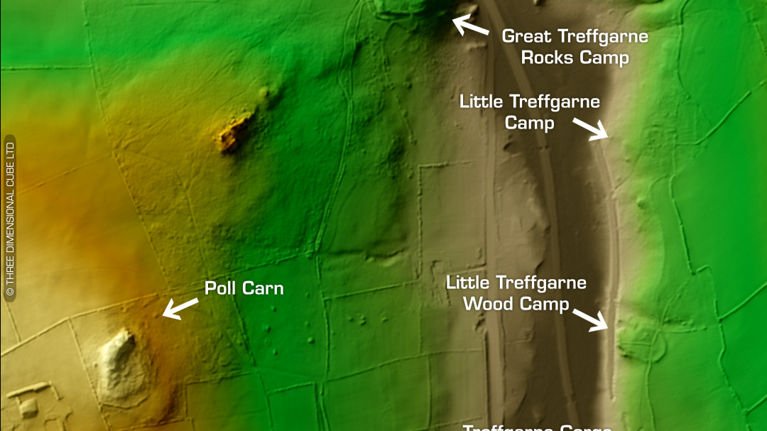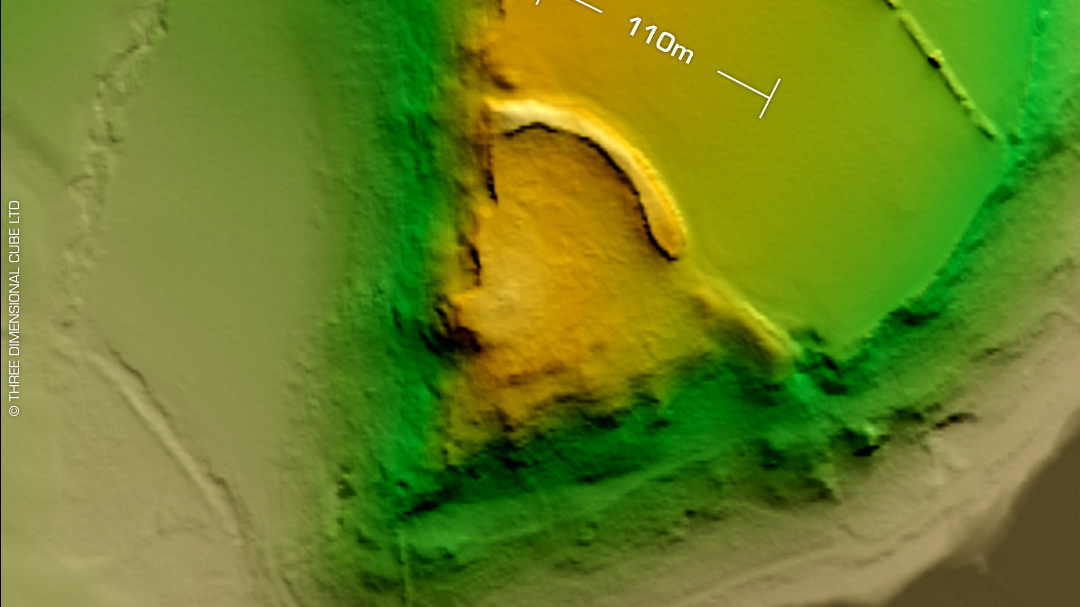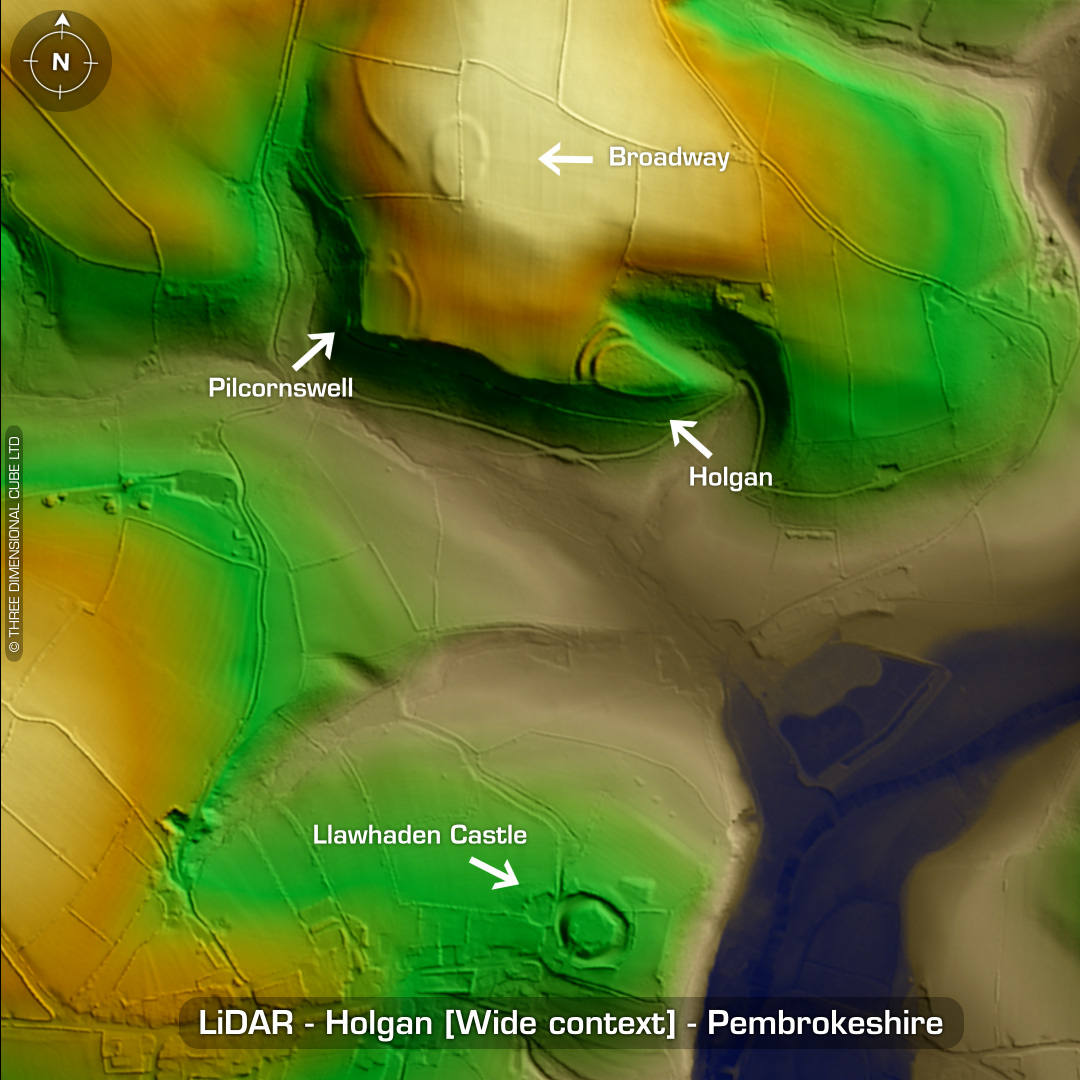
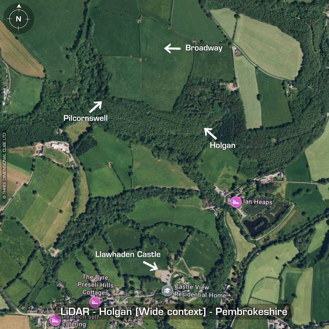

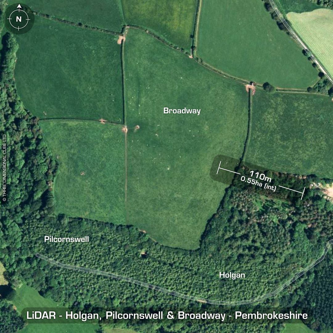
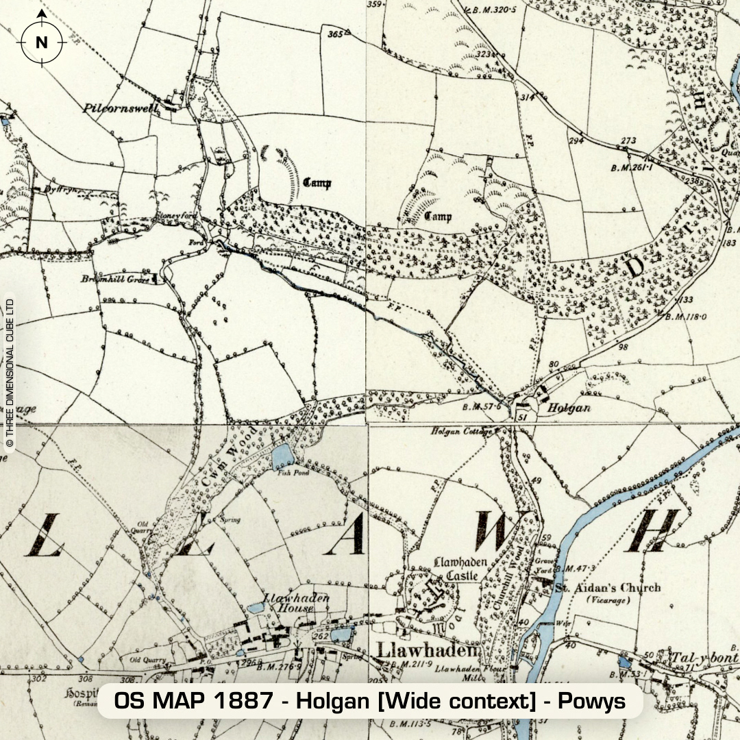
LiDAR – Holgan - Pembrokeshire DTM- (Digital Terrain Model, i.e. No buildings or foliage) Overlooking the village of Llawhaden from the north lies not only the inland promontory fort, Holgan but also the bivallate inland promontory fort, Pilcornswell and the univallate defended enclosure, Broadway. Within Llawhaden sits a castle with the same name. Originally an earth & timber ringwork circa 1115AD. Covered the Welsh, Norman/Flemish borders. Burnt down circa 1193. Abandoned until Norman re-fortification. Fell into decay during the Reformation. Holgan (within forestry plantation): 4m high banks with 3m deep ditches. G.Williams (1980s) & H. Mytum (1998) excavations through defences. Finds include evidence of front & rear palisades. C14 dates yield occupation between 400-300 BC. Pilcornswell: 0.5m high banks with 0.5m deep ditches. G.Williams & H. Mytum (1998) excavations through defences. Original banks stood at 2.5m and the ditches at 3m deep. C14 dates yield 500-300BC. One single sherd of Roman glass recovered. Broadway: Heavily degraded by ploughing. The long bank on the west side runs for hundreds of meters but its function is unknown. G.Williams & H. Mytum (1998) excavations through defences. Original bank 5m wide & 2.5m deep. C14 Dates (pre-rampart) 800-500 BC. Remains of at least one roundhouse found in the small area excavated. (Scheduled monuments) Iron Age tribal association (conjecture based on location): Demetae Descriptions from hillforts.arch.ox.ac.uk & Dyfed Archaeological Trust HER. 1st ED OS Mapping via National Library of Scotland. Contains public sector information licensed under the Open Government Licence v3.0.