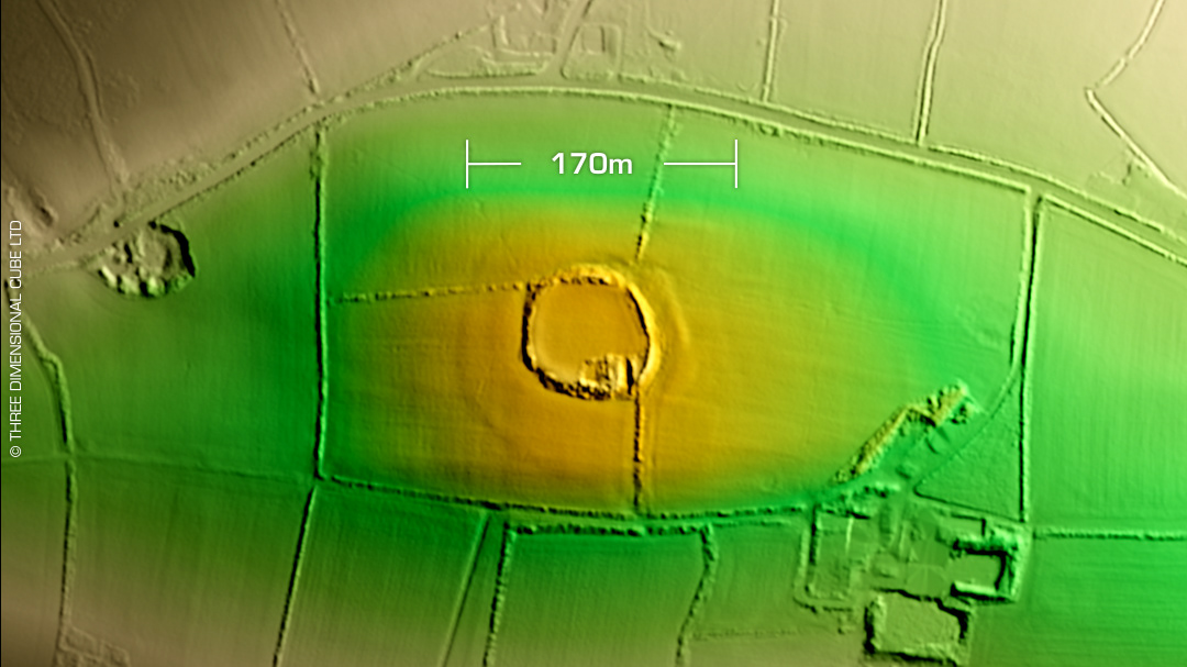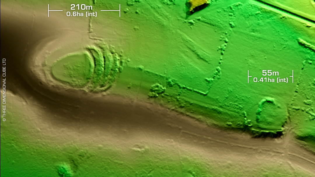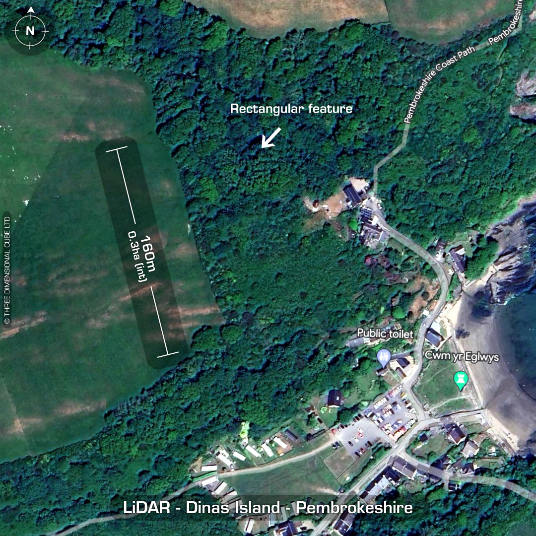
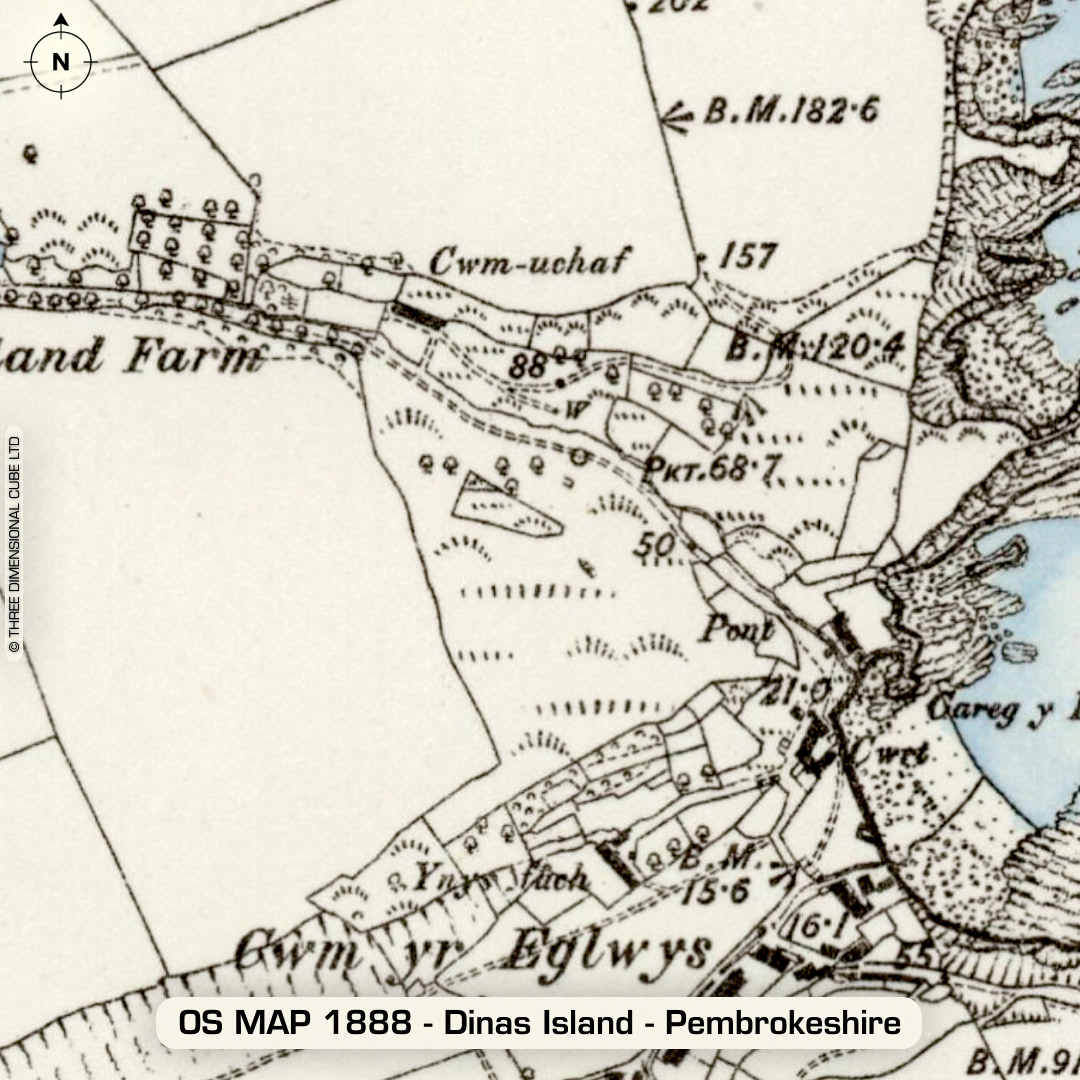
DTM- (Digital Terrain Model, i.e. No buildings or foliage) On the lower east-side of Ynys Dinas or 'Dinas Island' overlooking the bay lie the remains of a partial contour hillfort defined by earthy shale & stone bank. Unusual rectangular structure noted on 1st Ed OS Map 24x8m of uncertain date. Dense scrub make interpretation difficult. Even the LiDAR isn't giving me any hints to the size of the site, unless it all lies within the field boundary? Access was attempted in 2006 but the density of the brambles made them go to the pub instead. No recorded finds or excavations, hence undated. (Scheduled monument) Iron Age tribal association (conjecture based on location): Demetae Descriptions from hillforts.arch.ox.ac.uk & Dyfed Archaeological Trust HER. Contains public sector information licensed under the Open Government Licence v3.0.